PERCY-EN-AUGE CHURCHYARD
Calvados
France
GPS coordinates: Latitude: 49.05678, Longitude: -0.06323
Location Information
Percy is a village and commune 16 miles (27 kilometres) south-east of Caen, 13 miles (21 kilometres) south-west of Lisieux, and 2 miles (3 kilometres) south of Mezidon. This is a small town about 3 miles (5 kilometres) south of the N.13 Caen to Lisieux road.
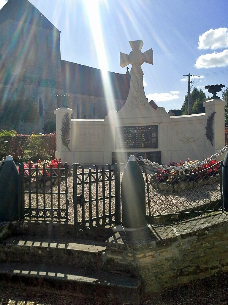
There is 1 Commonwealth burial of the 1939-1945 war here, in the north-east corner of the churchyard, behind the war memorial which stands outside the churchyard.
Images in the gallery below used with the permission of the Commonwealth War Graves Commission

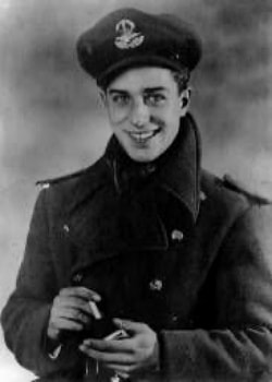
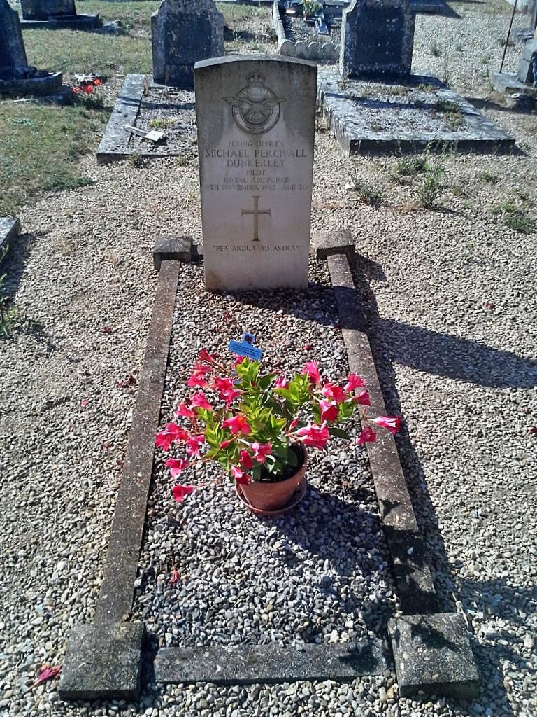
124424 Flying Officer
Michael Percivall Dunkerley
Pilot in 2 Squadron, Royal Air Force Volunteer Reserve
9th November 1943, aged 20.
Son of the Revd. Cecil Lawrence Dunkerley, M.C., M.A., and Kathleen Olive Dunkerley, of Paulersbury Rectory, Towcester, Northamptonshire.
His headstone bears the inscription "Per Ardua Ad Astra"


