LOONBEEK CHURCHYARD
Vlaams-Brabant
Belgium
GPS Coordinates Latitude: 50.80749 Longitude: 4.60687
Location Information
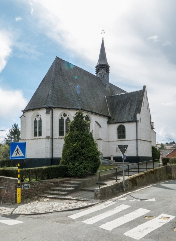
Loonbeek, a very small village, is 25 kilometres south-east of Brussels and 13 kilometres south of Leuven, on the Leuven-Overijse Road. The churchyard is in the centre of the village, and the Commonwealth grave is near the north-eastern corner of the church.
Historical Information
The British Expeditionary Force was involved in the later stages of the defence of Belgium following the German invasion in May 1940, and suffered many casualties in covering the withdrawal to Dunkirk.
Loonbeek Churchyard contains one Commonwealth burial of the Second World War.
Burial Details
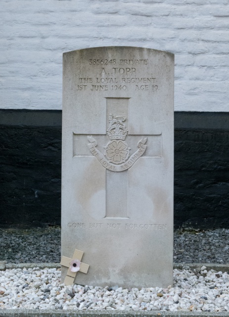
3856248 Private Albert Topp, 1st Bn. The Loyal Regiment (North Lancashire), died 1st June 1940, aged 19. Son of Stanley and Ethel Topp, of Bolton, Lancashire.
Pictures © Werner Van Caneghem
Loonbeek, a very small village, is 25 kilometres south-east of Brussels and 13 kilometres south of Leuven, on the Leuven-Overijse Road. The churchyard is in the centre of the village, and the Commonwealth grave is near the north-eastern corner of the church.
Historical Information
The British Expeditionary Force was involved in the later stages of the defence of Belgium following the German invasion in May 1940, and suffered many casualties in covering the withdrawal to Dunkirk.
Loonbeek Churchyard contains one Commonwealth burial of the Second World War.
Burial Details
3856248 Private Albert Topp, 1st Bn. The Loyal Regiment (North Lancashire), died 1st June 1940, aged 19. Son of Stanley and Ethel Topp, of Bolton, Lancashire.
Pictures © Werner Van Caneghem