ZALTBOMMEL GENERAL CEMETERY
Gelderland
The Netherlands
GPS Coordinates: Latitude: 51.81056, Longitude: 5.25087
Location Information
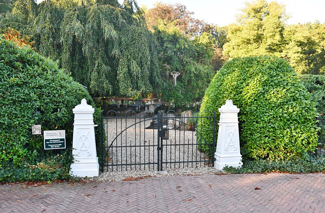
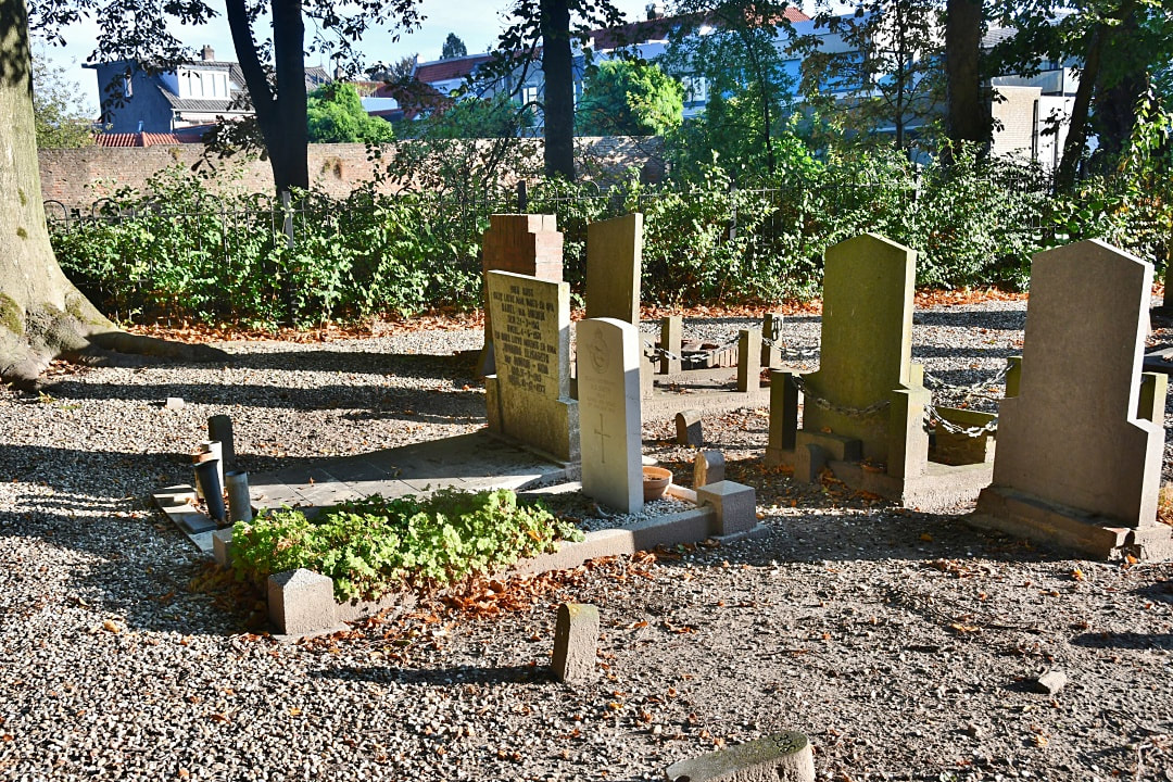
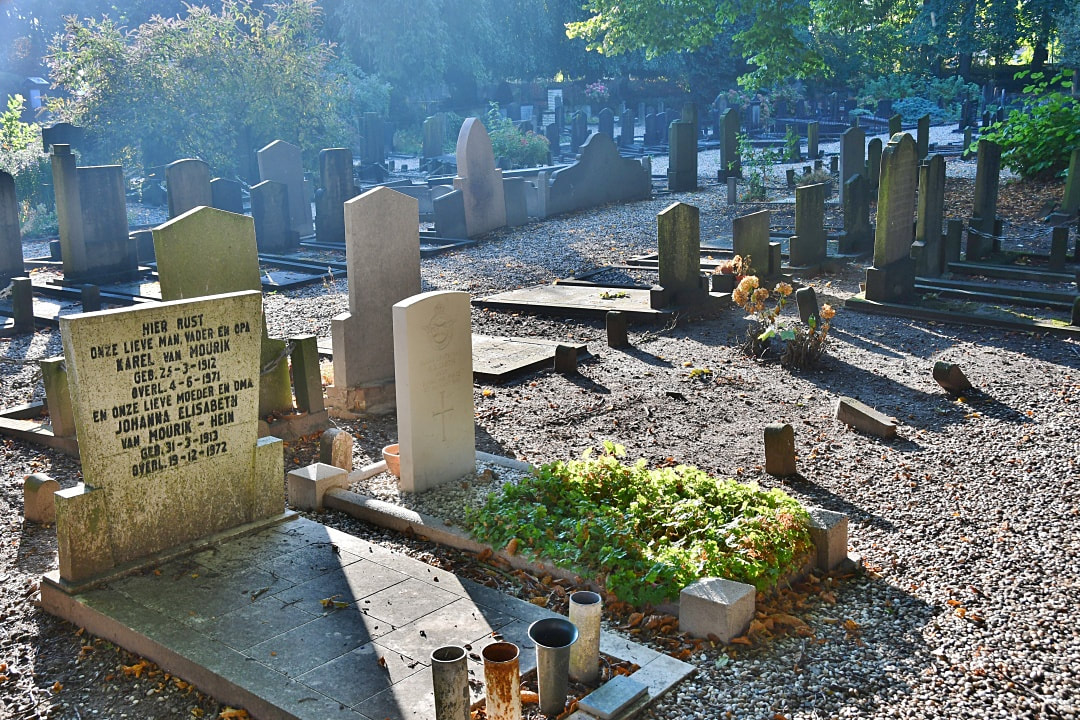
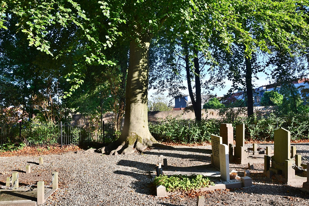
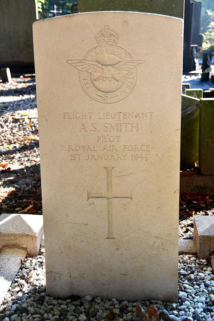
Zaltbommel, a town on the south bank of the river Waal, is about 1 kilometre due east of the main road between 's-Hertogenbosch and Utrecht, and is 13 kilometres north of the former. The cemetery is on the south side of the road leading from the main road to Zaltbommel, and is 682 metres from the main road. The one British grave is in the south-western part of the cemetery.
Zaltbommel, a town on the south bank of the river Waal, is about 1 kilometre due east of the main road between 's-Hertogenbosch and Utrecht, and is 13 kilometres north of the former. The cemetery is on the south side of the road leading from the main road to Zaltbommel, and is 682 metres from the main road. The one British grave is in the south-western part of the cemetery.
Images in gallery below © Johan Pauwels
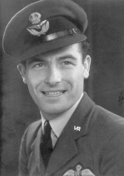
104559 Flight Lieutenant
Alfred Stewart Smith
193 Squadron, Royal Air Force Volunteer Reserve
1st January 1945.
Alfred Stewart Smith
193 Squadron, Royal Air Force Volunteer Reserve
1st January 1945.

