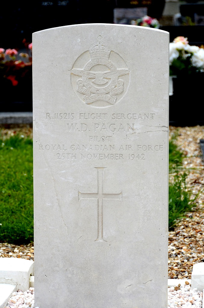
TOURVILLE-LES-IFS COMMUNAL CEMETERY
Seine-Maritime
France
GPS Coordinates: Latitude: 49.71588, Longitude: 0.4053
Location Information
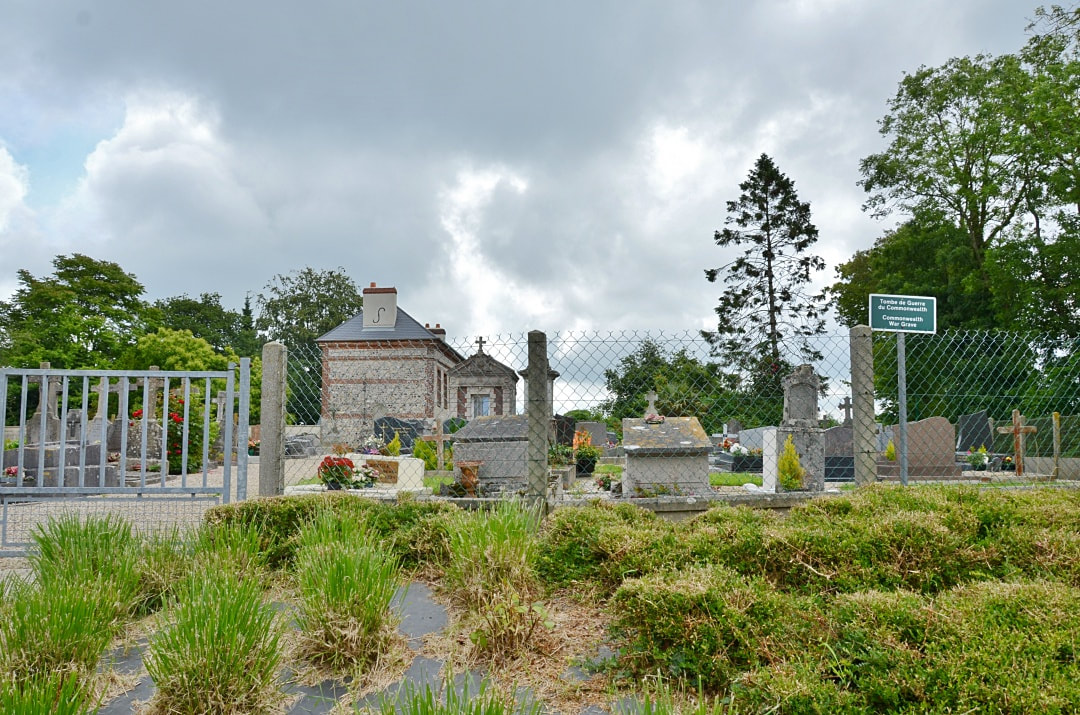
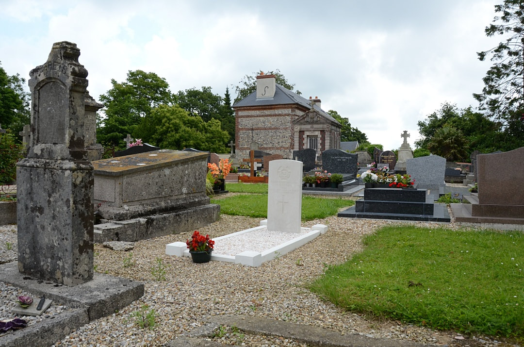
Tourville-les-Ifs is a village 33 kilometres north-east of Le Havre, and 7 kilometres south-east of Fécamp, on the D73 Fécamp-Bolbec road. The Communal Cemetery is 500 metres down a small road leading east from the church. The Commonwealth grave is 10 yards south-east of the entrance gate.
Tourville-les-Ifs is a village 33 kilometres north-east of Le Havre, and 7 kilometres south-east of Fécamp, on the D73 Fécamp-Bolbec road. The Communal Cemetery is 500 metres down a small road leading east from the church. The Commonwealth grave is 10 yards south-east of the entrance gate.
Images in gallery below © Johan Pauwels
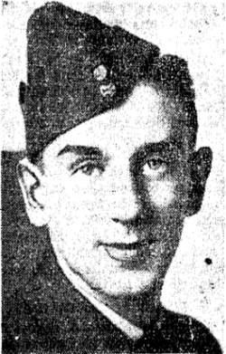
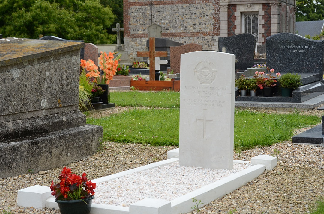
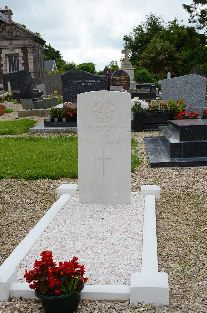
R/115215 Flight Sergeant
William Donald Pagan
Pilot in 412 Squadron, Royal Canadian Air Force
25th November 1942.
William Donald Pagan
Pilot in 412 Squadron, Royal Canadian Air Force
25th November 1942.

