
CRIQUEBEUF-EN-CAUX CHURCHYARD
Seine-Maritime
France
GPS Coordinates: Latitude: 49.7396, Longitude: 0.33114
Location Information
Criquebeuf-en-Caux is a village and commune near the coast, some 40 kilometres north-east of Le Havre, 24 kilometres south-west of Fécamp, and 1 kilometre north of St. Leonard, which is on the Fécamp-Etretat road (N.40).
The British grave is in the south-east corner of the churchyard.
Criquebeuf-en-Caux is a village and commune near the coast, some 40 kilometres north-east of Le Havre, 24 kilometres south-west of Fécamp, and 1 kilometre north of St. Leonard, which is on the Fécamp-Etretat road (N.40).
The British grave is in the south-east corner of the churchyard.
Images in gallery below © Johan Pauwels

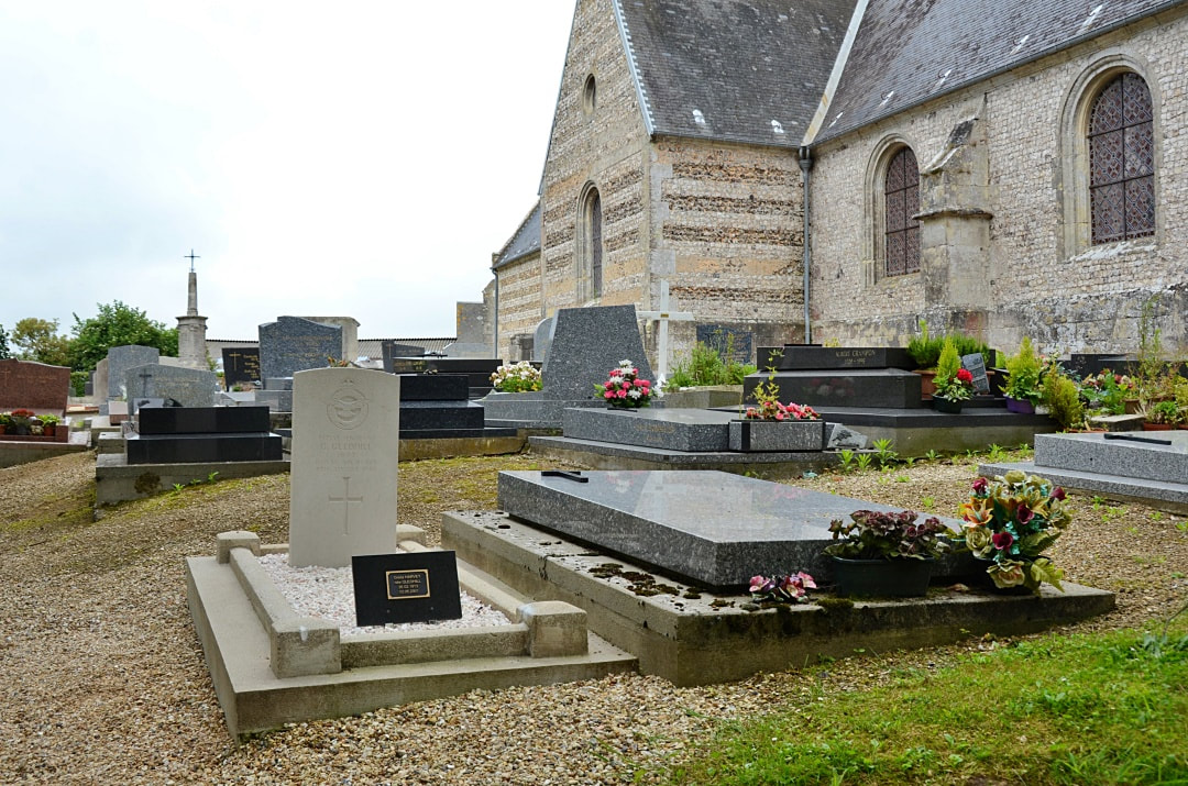
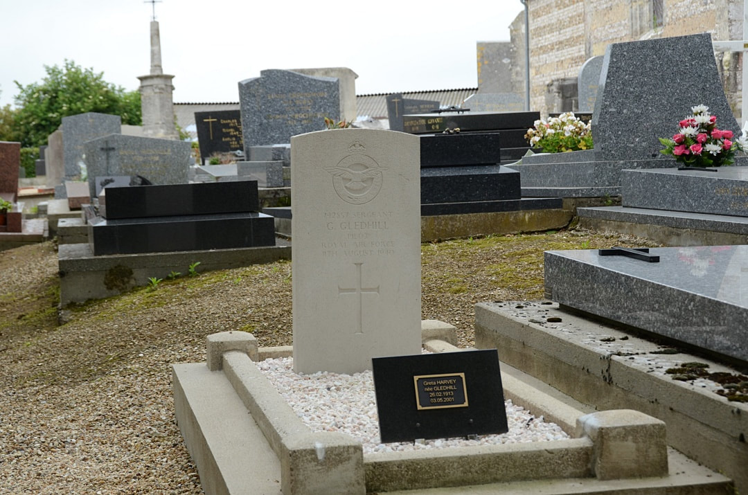

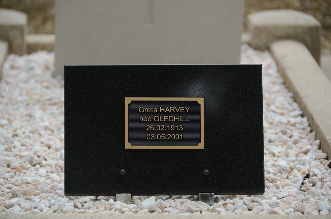
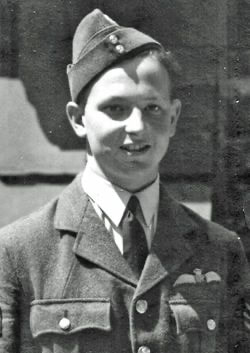
742857 Sergeant
Geoffrey Gledhill
Pilot in 238 Squadron, Royal Air Force Volunteer Reserve
11th August 1940.
Geoffrey Gledhill
Pilot in 238 Squadron, Royal Air Force Volunteer Reserve
11th August 1940.


