ST. TROJAN-LES-BAINS COMMUNAL CEMETERY
Île d'Oléron
Charente-Maritime
France
GPS Coordinates: Latitude: 45.83975, Longitude: -1.20766
Location Information
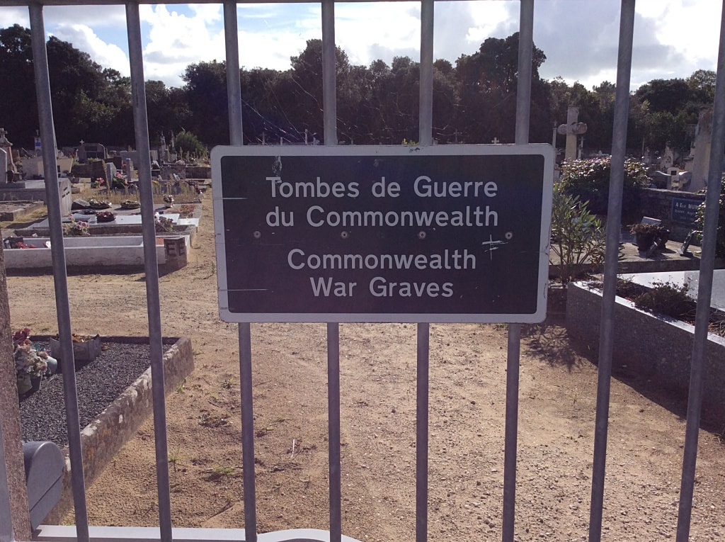
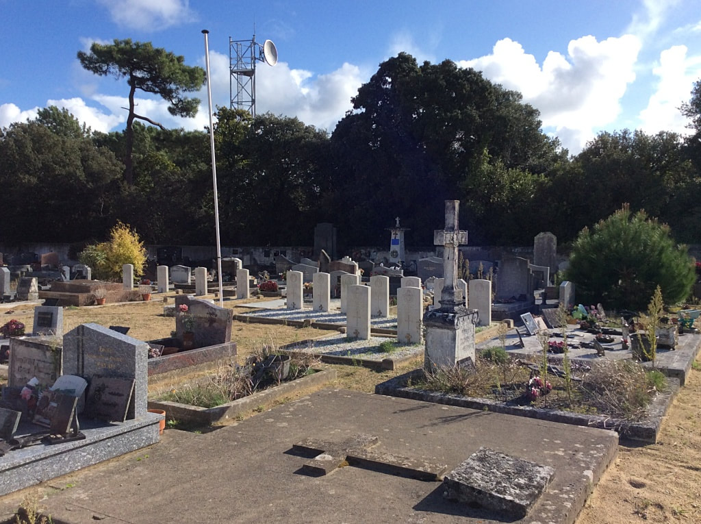
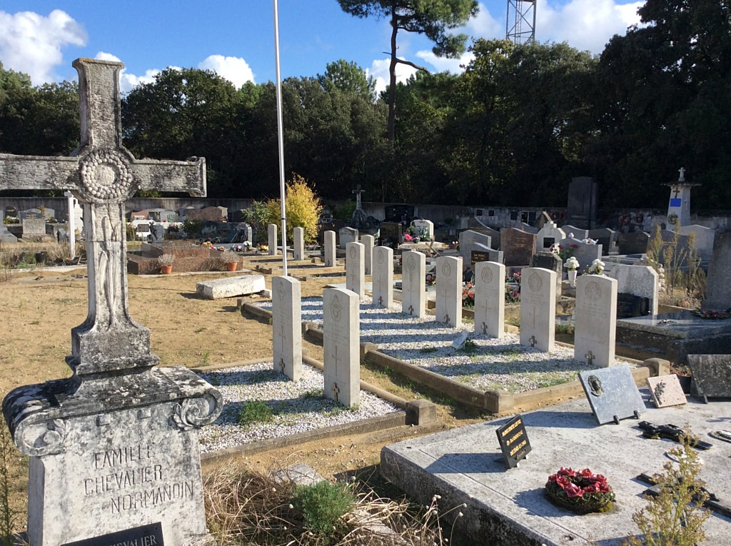
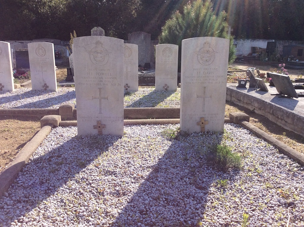
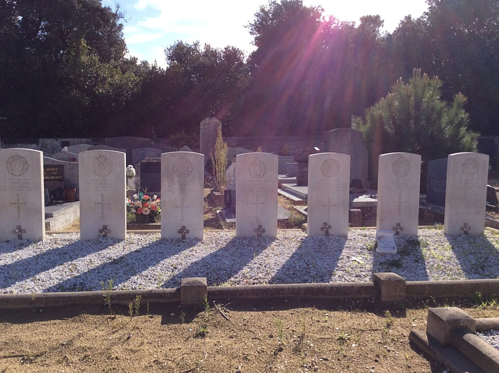
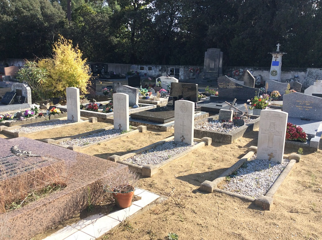
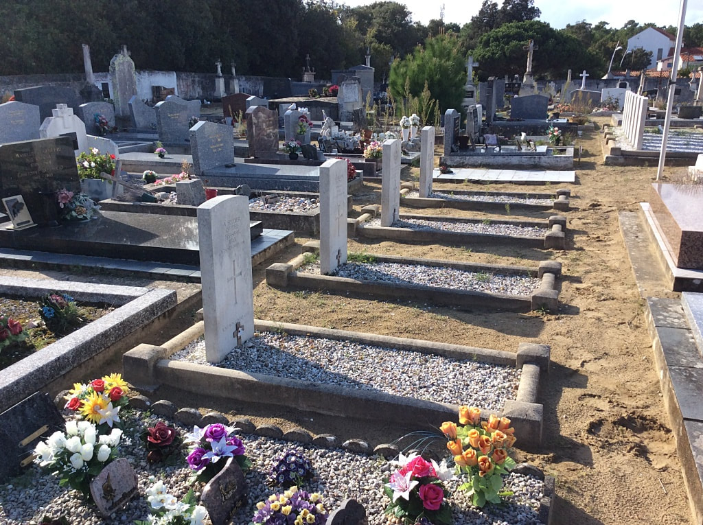
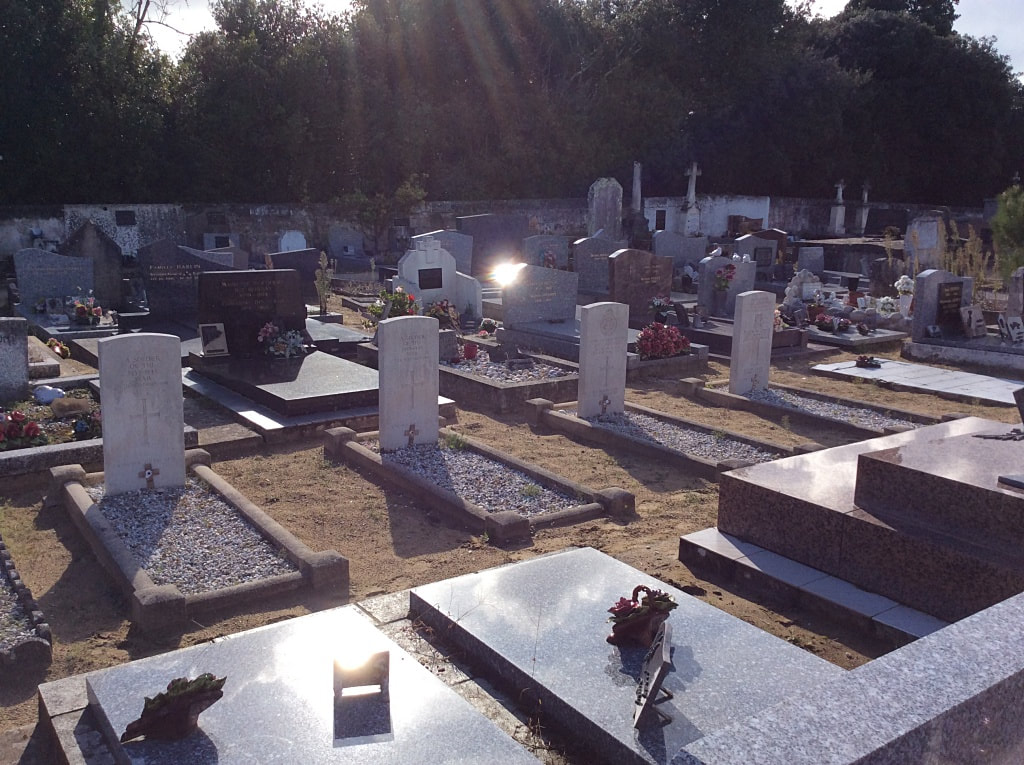
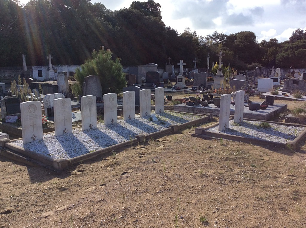
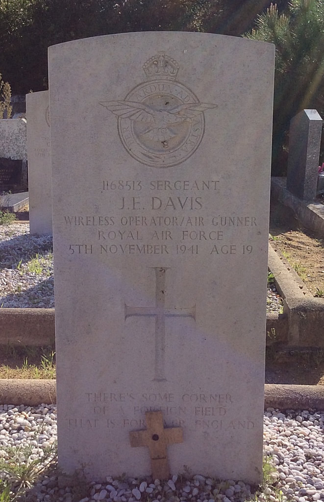
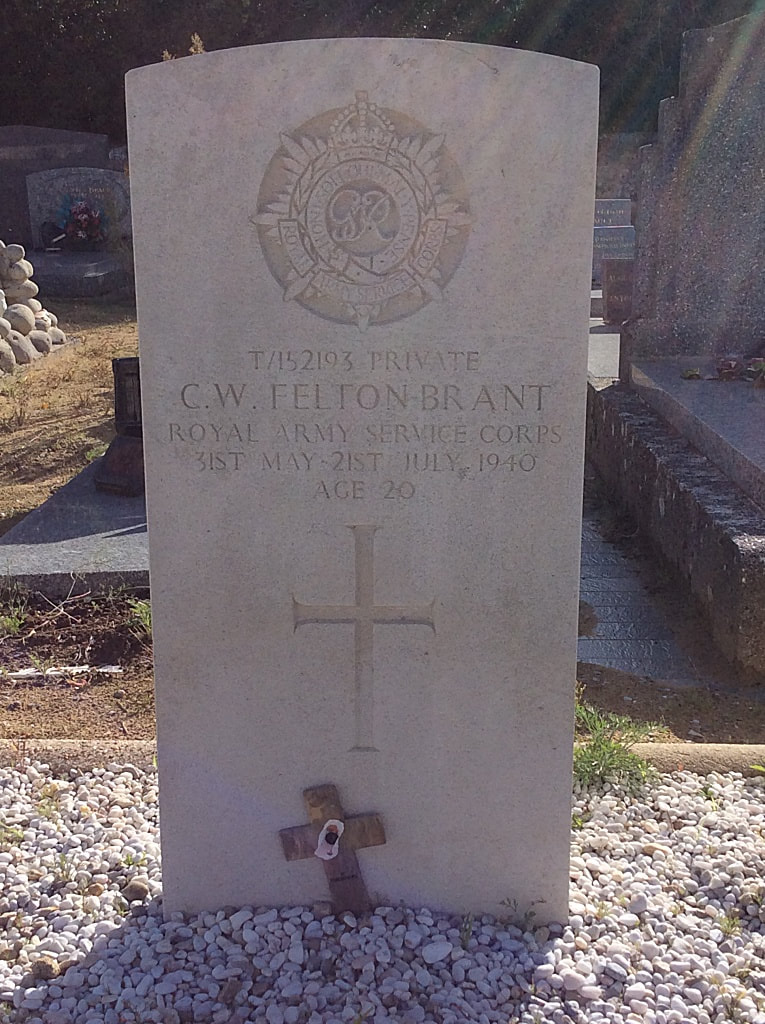
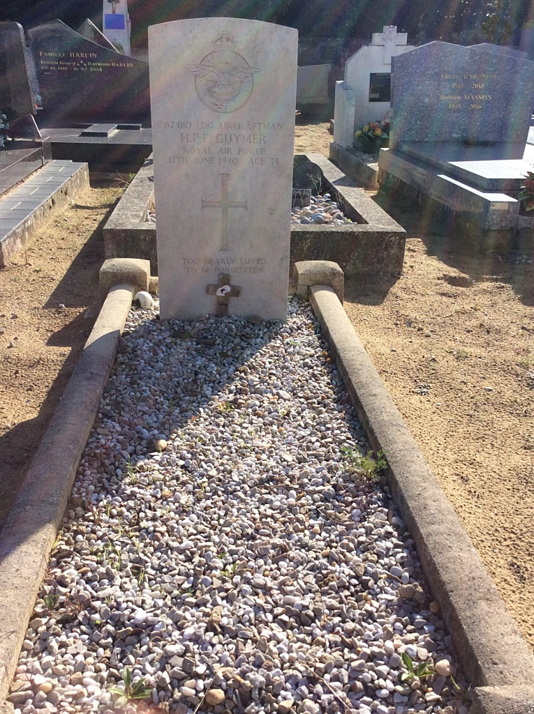
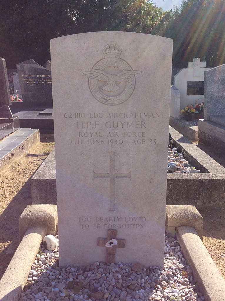
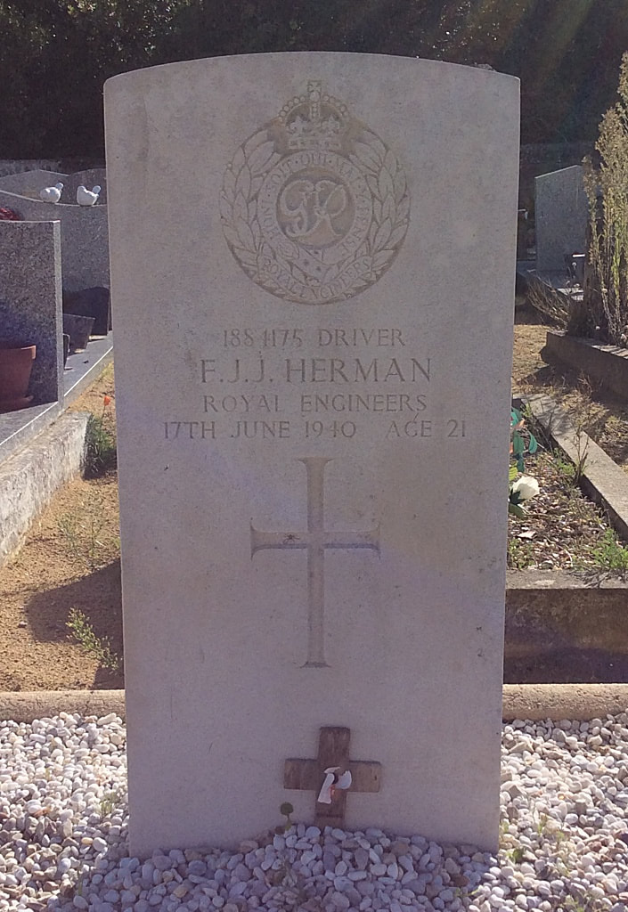
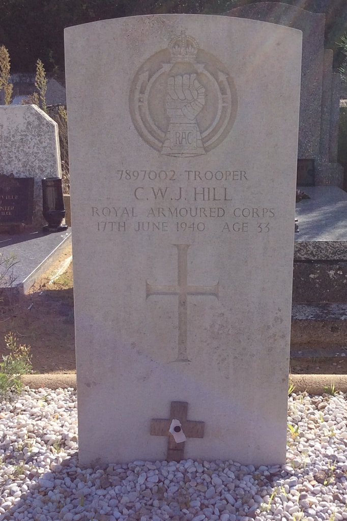
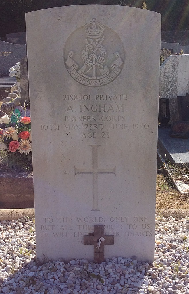
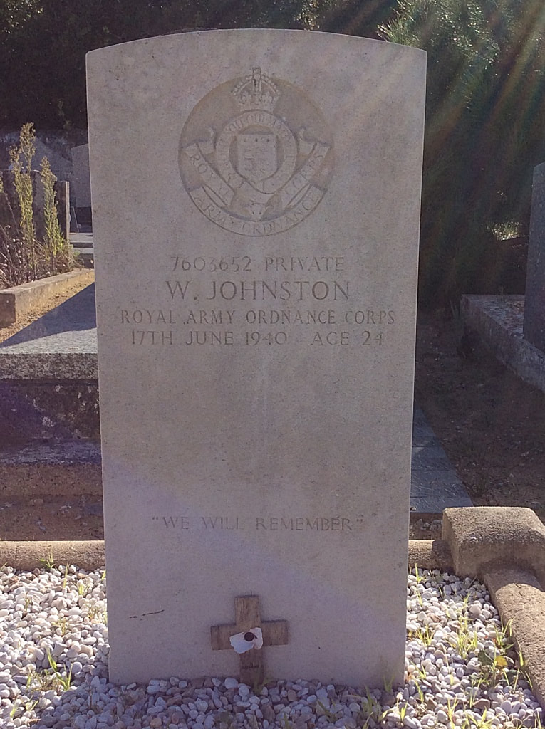
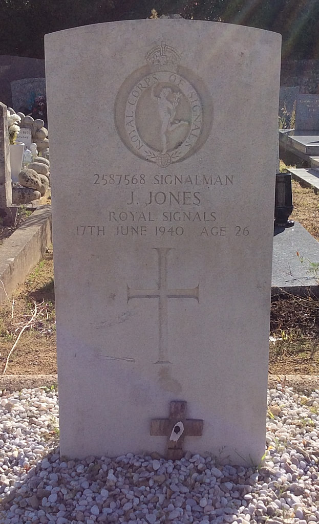
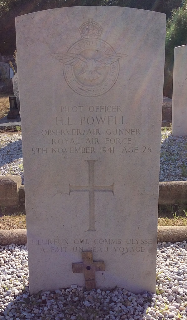
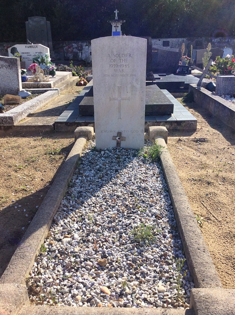
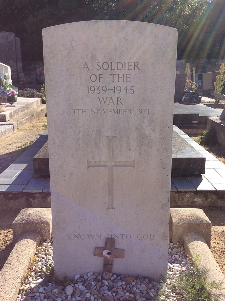
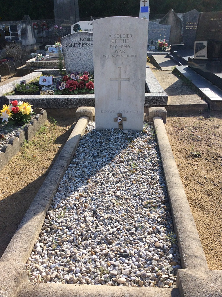
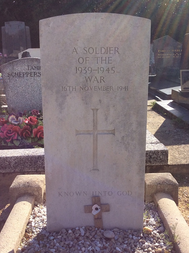
St. Trojan-les-Bains is at the south end of the Île d'Oléron, an island in the Bay of Biscay opposite the mouth of the river Charente. The communal cemetery is about 300 metres south-west of the village church. It is reached by taking the rue de Gaulle opposite the church, turning left into rue Samson Charlet and then left again into rue Souvenir Francais. There are 13 commonwealth burials of the 1939-1945 war here, 2 of which are unidentified, located in the far left quarter from the entrance.
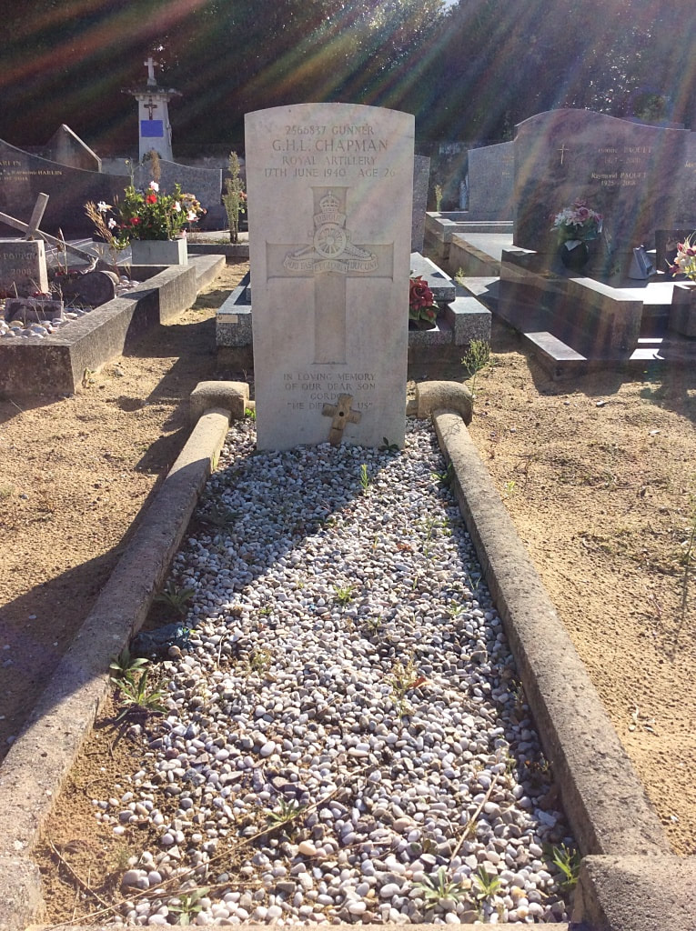
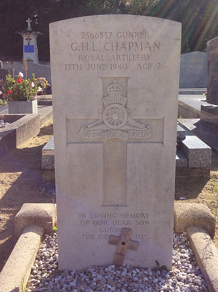
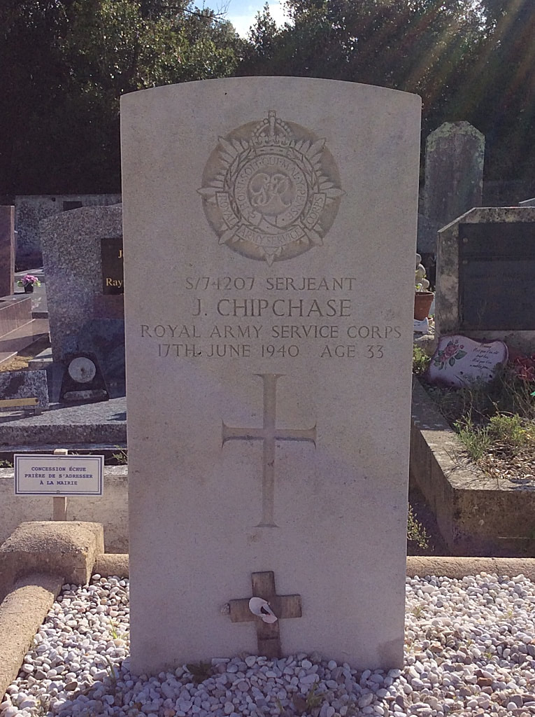
World War Two Identified Casualties: United Kingdom 11.
St. Trojan-les-Bains is at the south end of the Île d'Oléron, an island in the Bay of Biscay opposite the mouth of the river Charente. The communal cemetery is about 300 metres south-west of the village church. It is reached by taking the rue de Gaulle opposite the church, turning left into rue Samson Charlet and then left again into rue Souvenir Francais. There are 13 commonwealth burials of the 1939-1945 war here, 2 of which are unidentified, located in the far left quarter from the entrance.
World War Two Identified Casualties: United Kingdom 11.