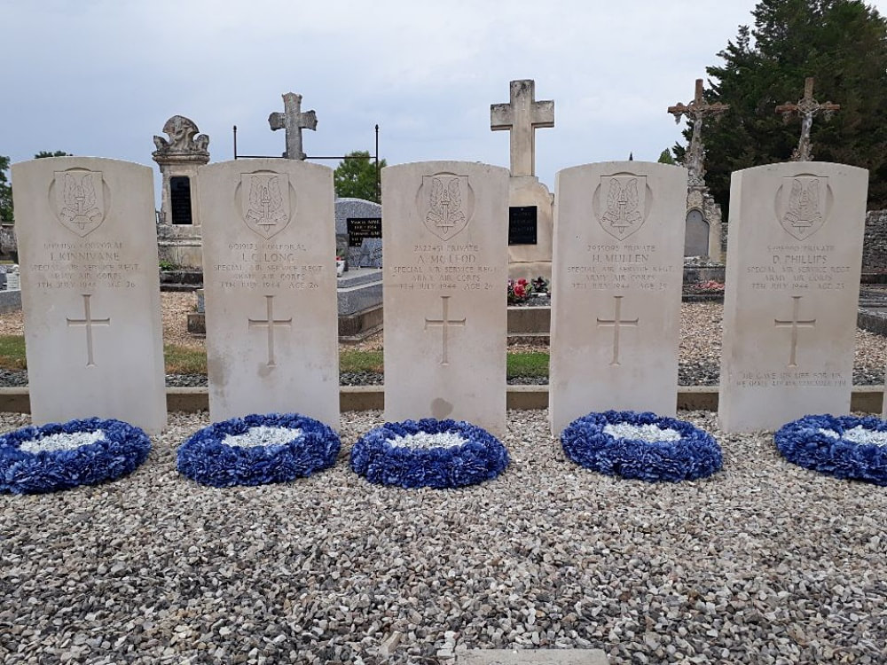
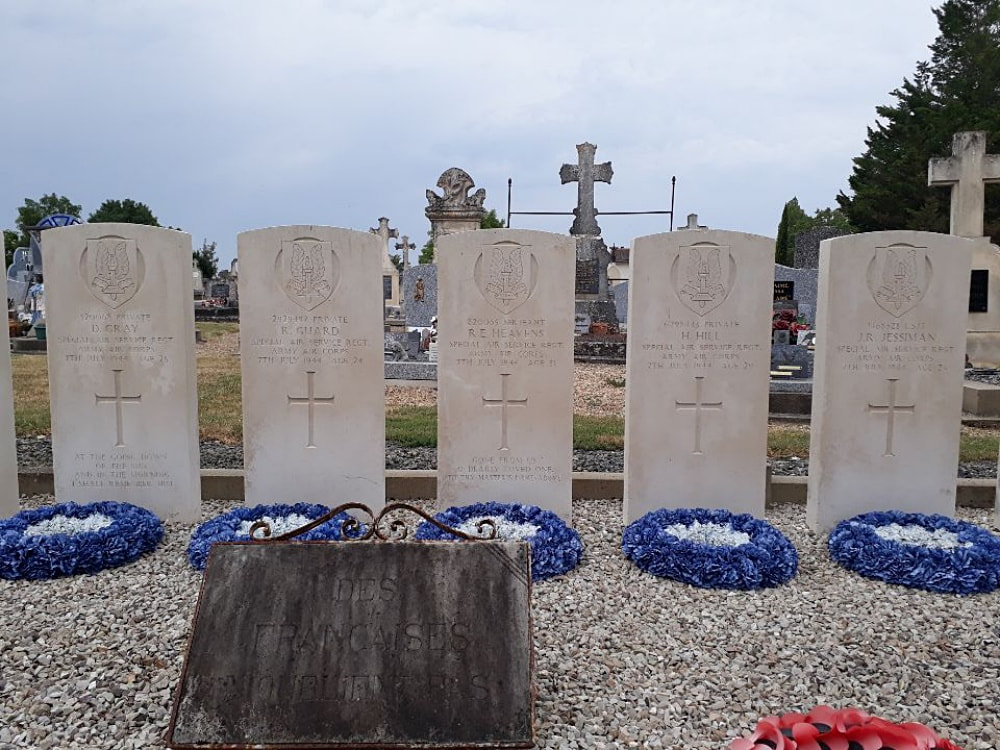
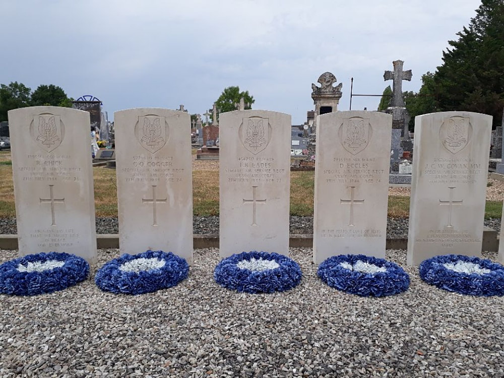
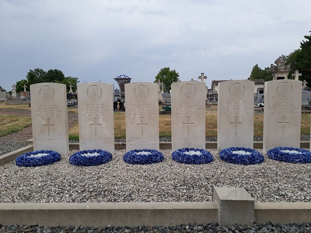
ROM COMMUNAL CEMETERY
Deux-Sèvres
France
GPS Coordinates: Latitude: 46.29086, Longitude: 0.11473
Location Information
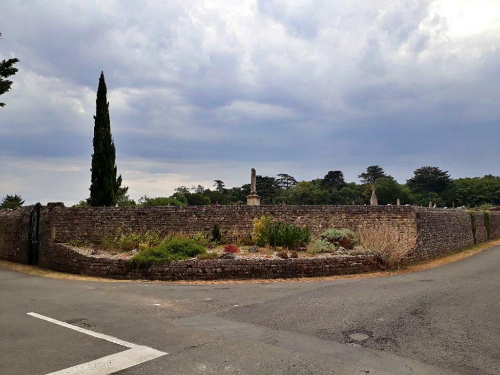
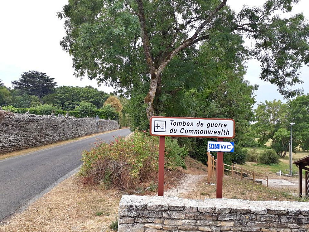
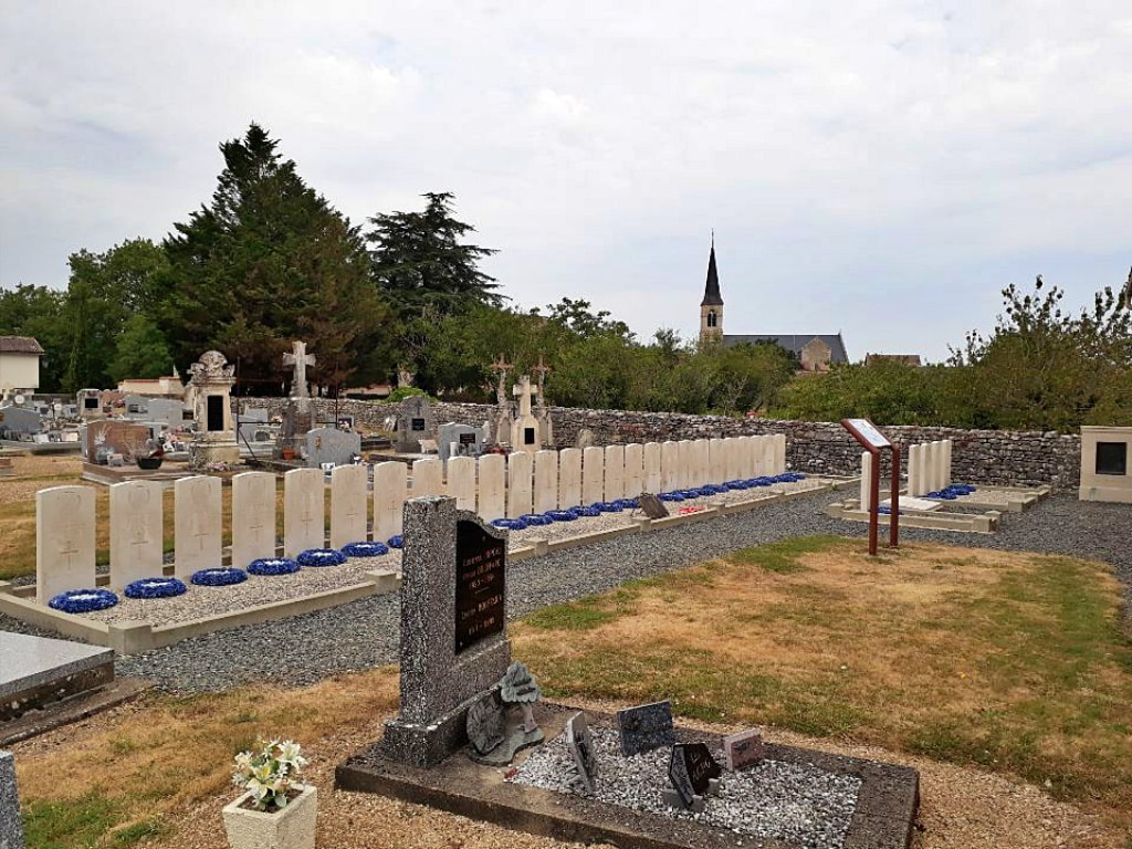
The village of Rom is in the Department of Deux-Sèvres and is approximately 44 kilometres east of Niort and 5 kilometres west of the town of Couhe-Verac, which is in the neighbouring Department of Vienne. The Communal Cemetery lies to the south of the village about 200 metres from the Church.
Visiting Information
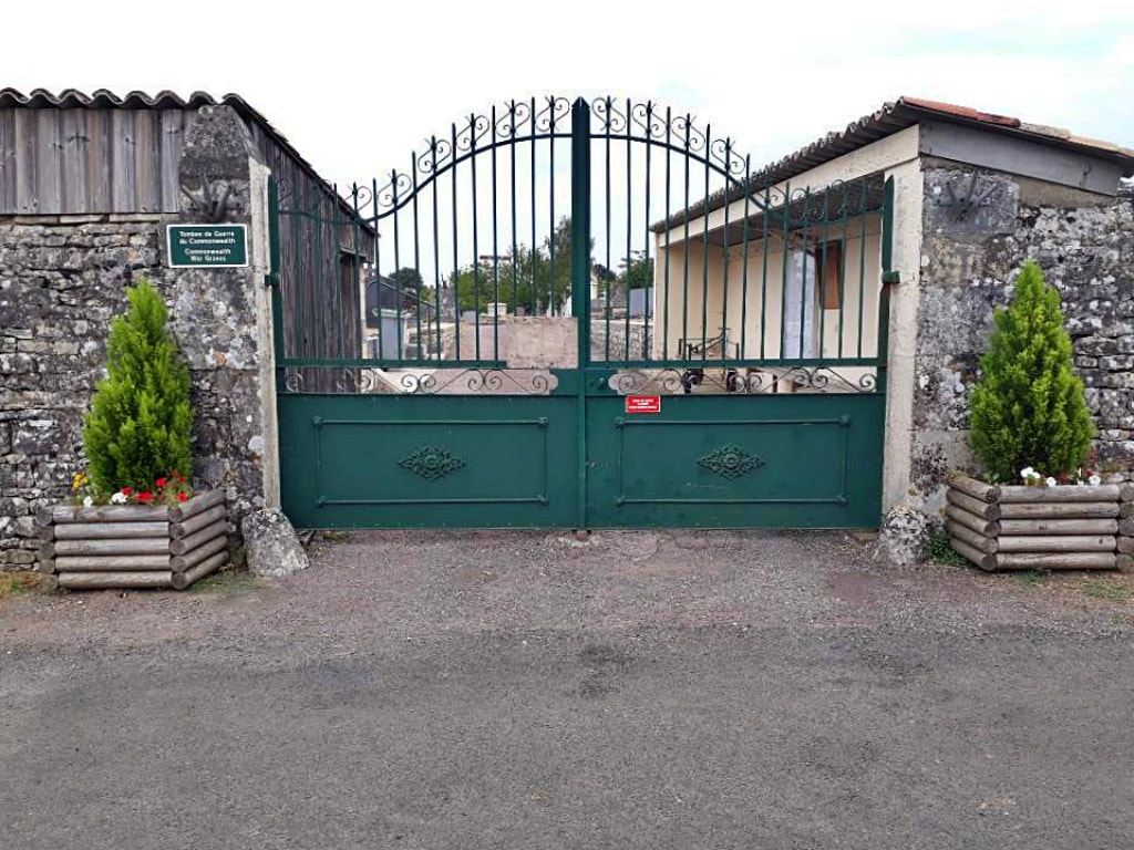
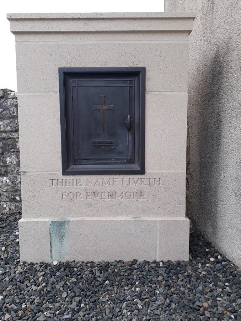
The Cemetery Register and Vistors' Book will be located in the Register Box within the cemetery.
History Information
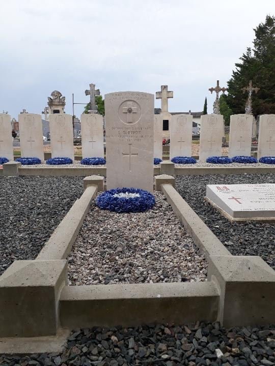
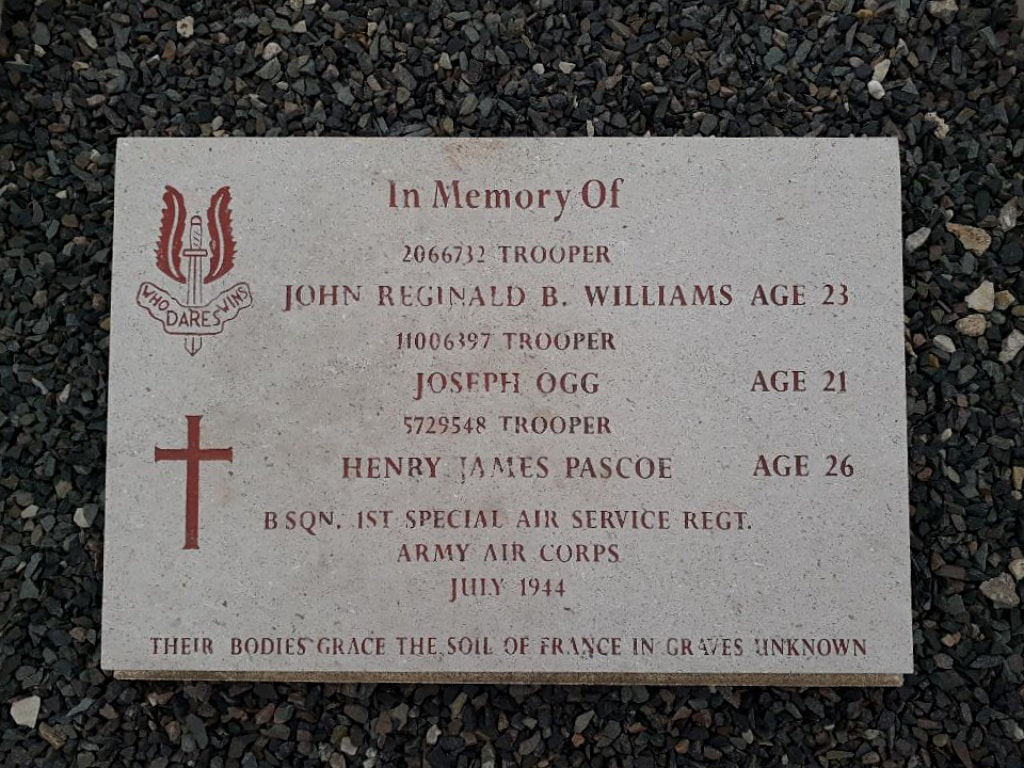
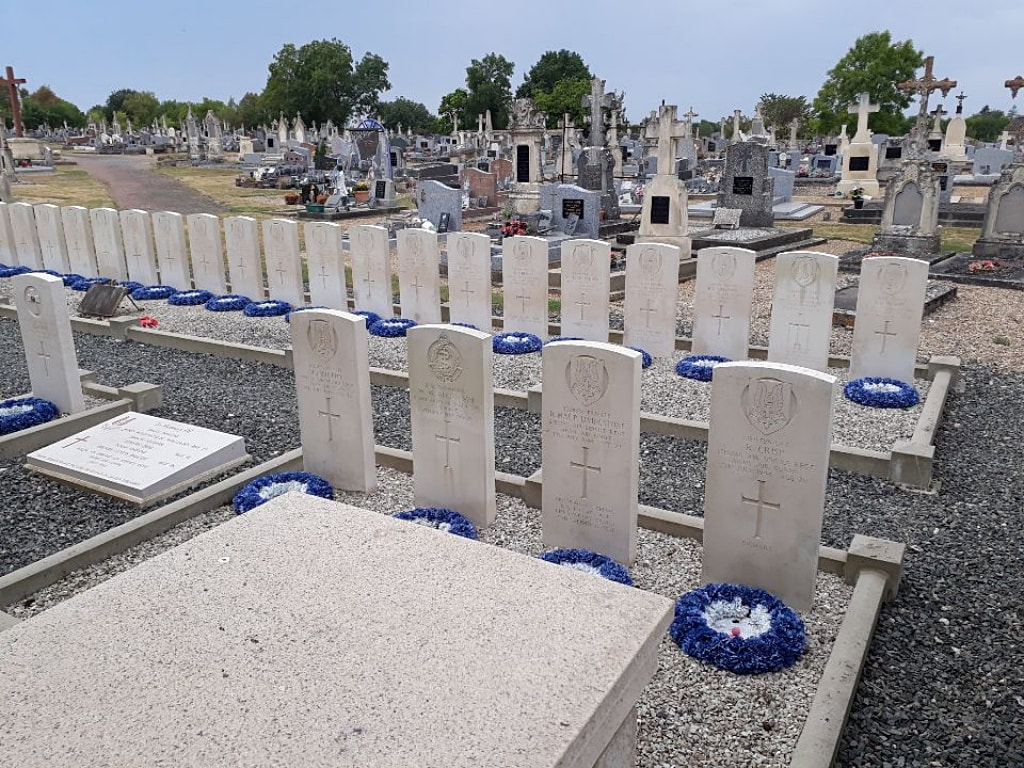
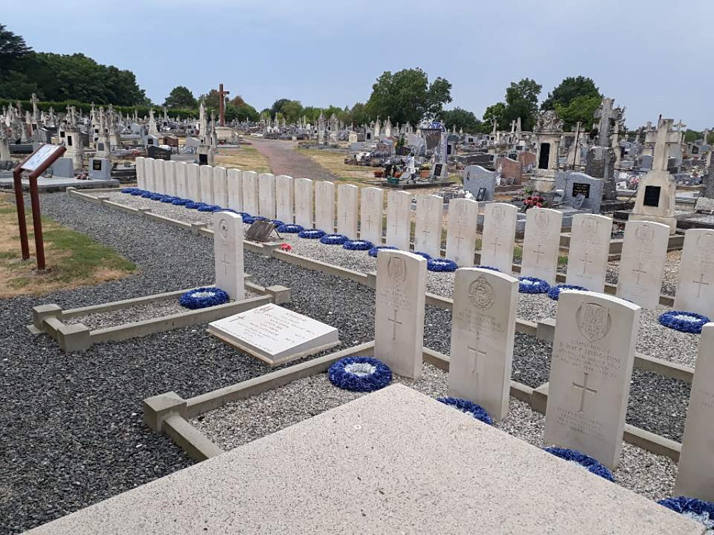
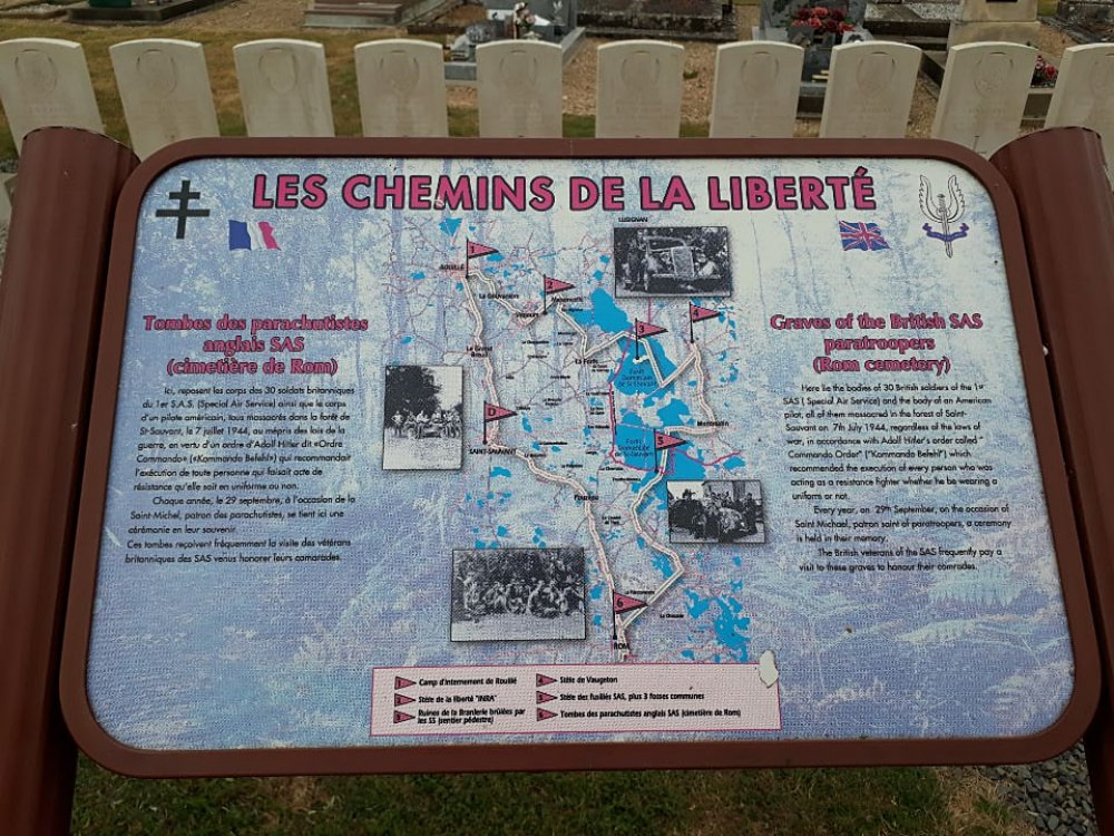
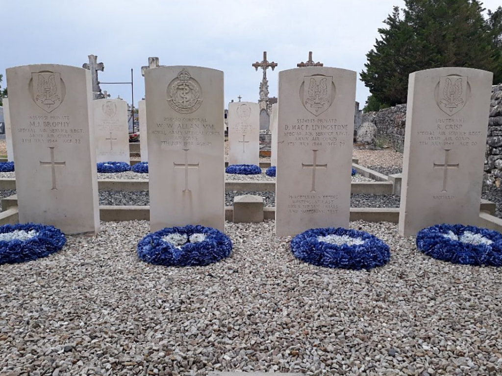
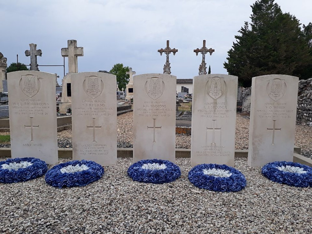
There are 32 Commonwealth burials of the 1939-45 war here.
Identified Casualties: United Kingdom 31, U. S. A. 1. Total 32.

