LA HAYE-MALHERBE COMMUNAL CEMETERY
Eure
France
GPS Coordinates: Latitude: 49.22807, Longitude: 1.06943
Location Information
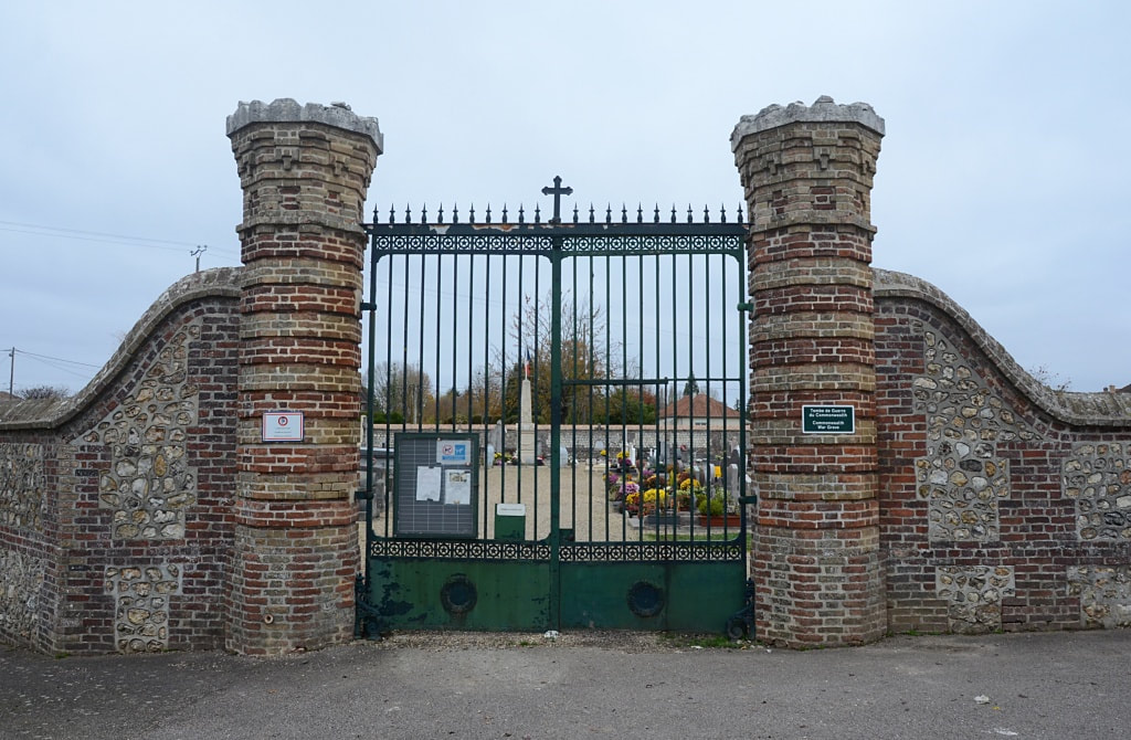
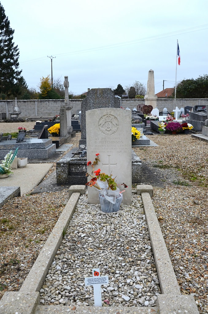
La Haye-Malherbe is a village in the Department of Eure south of Rouen, some 10 kilometres west of Louviers on the D81.
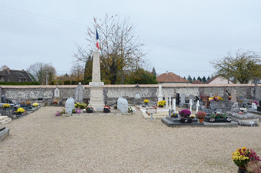
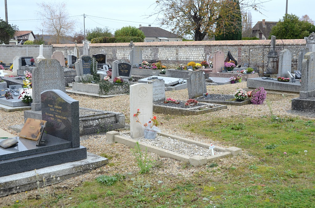
The Communal Cemetery is situated on the road leading to Elbeuf (D171), and the war grave will be found in the front left quarter of the cemetery.
La Haye-Malherbe is a village in the Department of Eure south of Rouen, some 10 kilometres west of Louviers on the D81.
The Communal Cemetery is situated on the road leading to Elbeuf (D171), and the war grave will be found in the front left quarter of the cemetery.
Images in gallery below © Johan Pauwels
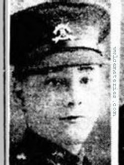
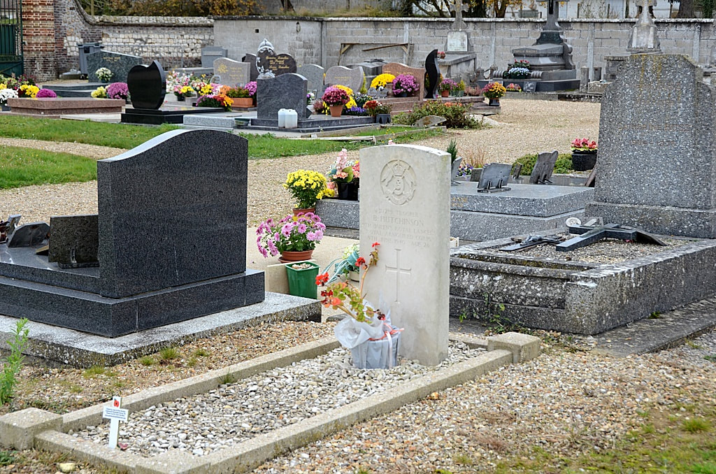
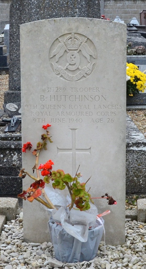
317289 Trooper
Bartholamew Hutchinson
9th Queen's Royal Lancers, Royal Armoured Corps
9th June 1940, aged 26.
Son of Bartholamew and Blanche Hutchinson; husband of Margaret Hutchinson, of Seaburn, Sunderland, Co. Durham.
Bartholamew Hutchinson
9th Queen's Royal Lancers, Royal Armoured Corps
9th June 1940, aged 26.
Son of Bartholamew and Blanche Hutchinson; husband of Margaret Hutchinson, of Seaburn, Sunderland, Co. Durham.

