HOUDETOT CHURCHYARD
Seine-Maritime
France
GPS Coordinates: Latitude: 49.8128, Longitude: 0.80331
Location Information
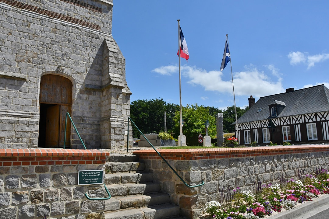
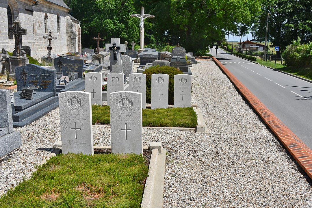
Houdetot is a village 23 kilometres south-west of Dieppe, and 11 kilometres south-east of St. Valery-en-Caux. It lies on the east side of the D.37 road from Veules-les-Roses to Doudeville. From Veules les Roses, follow the road to Fontaine le Dun. Before reaching Fontaine le Dun, take the turning right towards Houdetot. Follow the signs for the church.
History Information
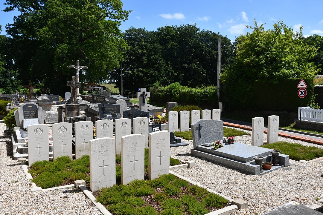
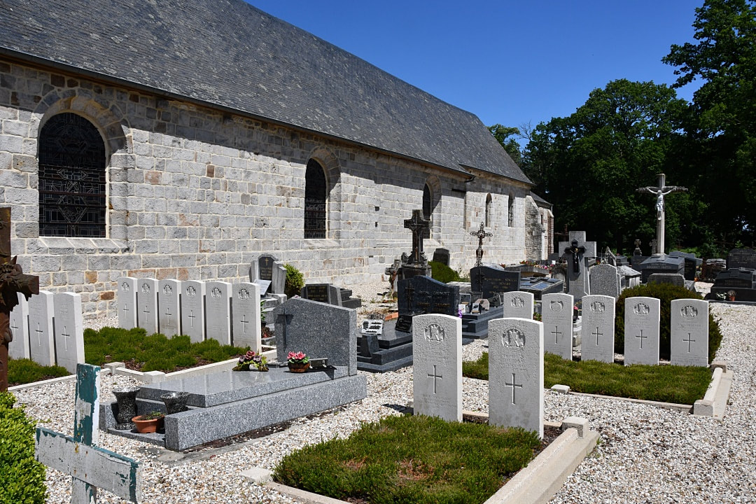
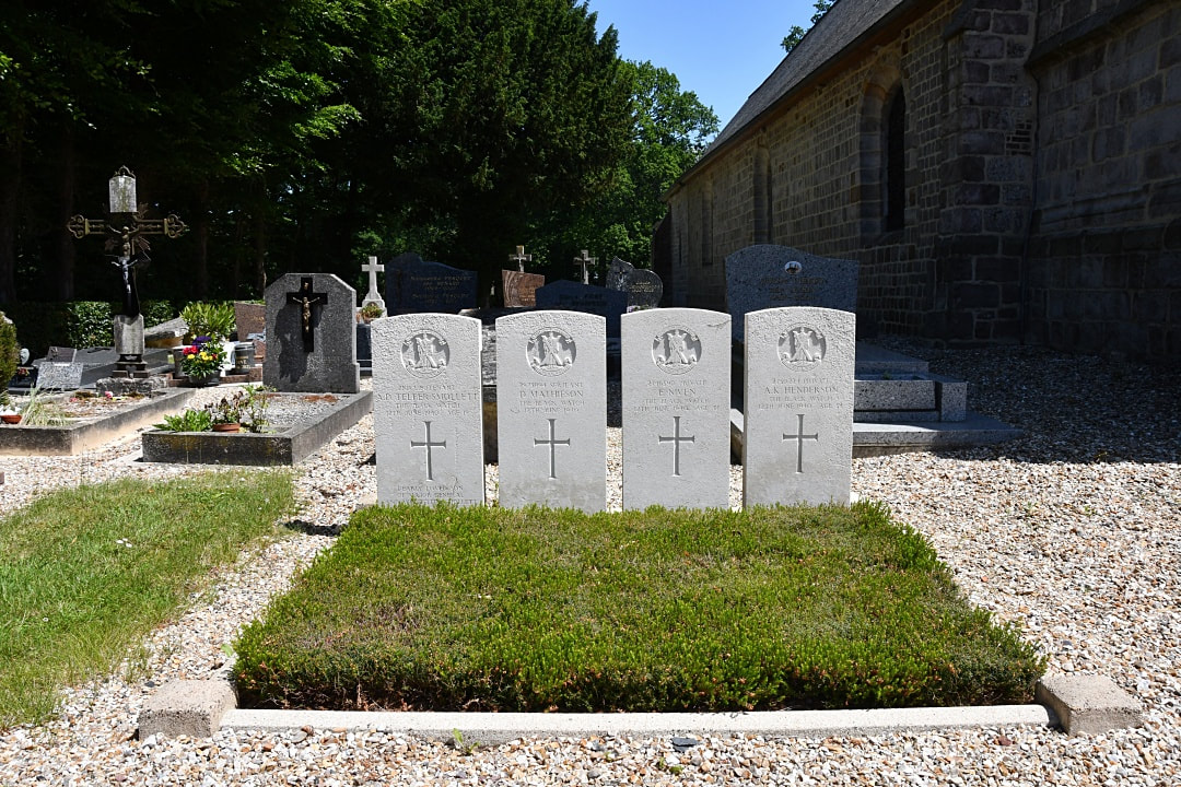
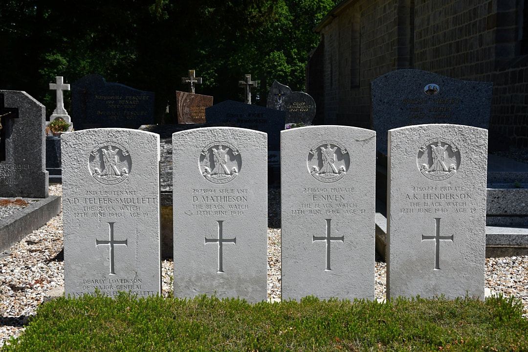
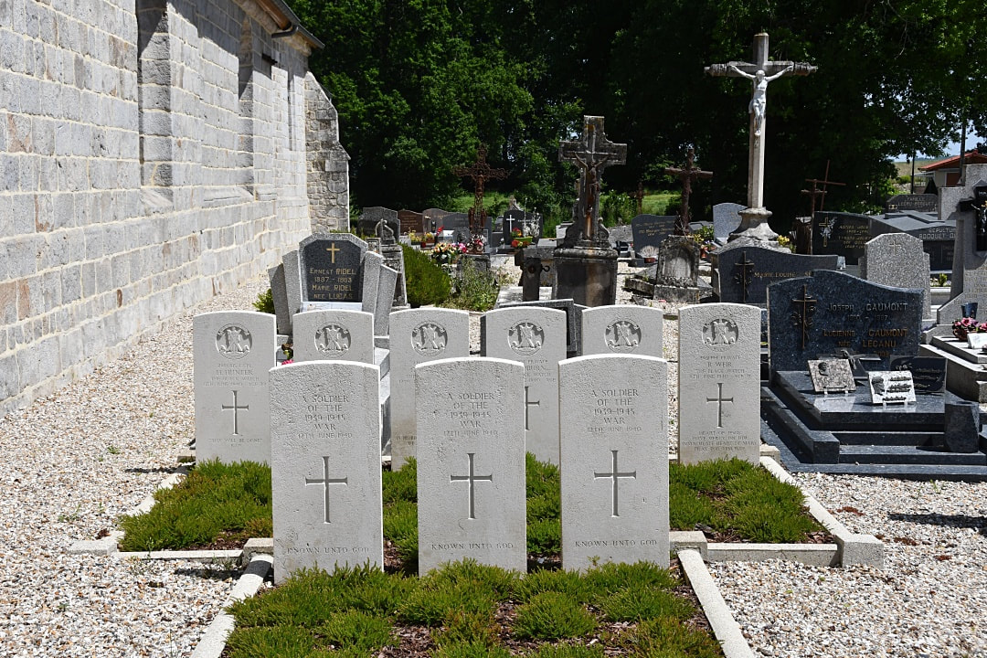
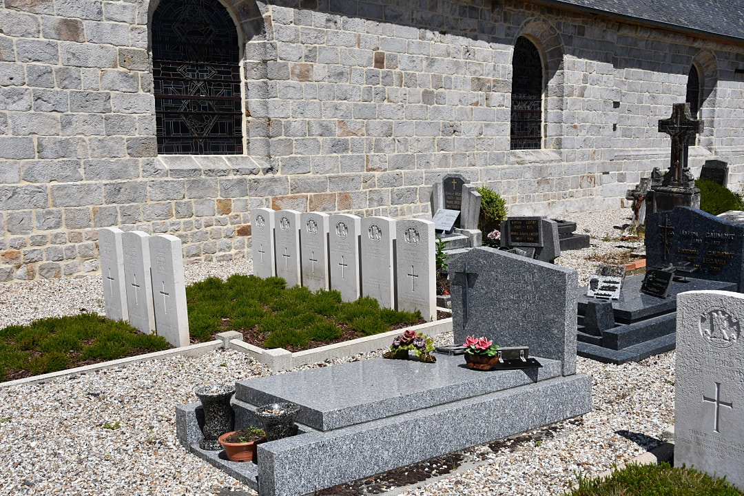
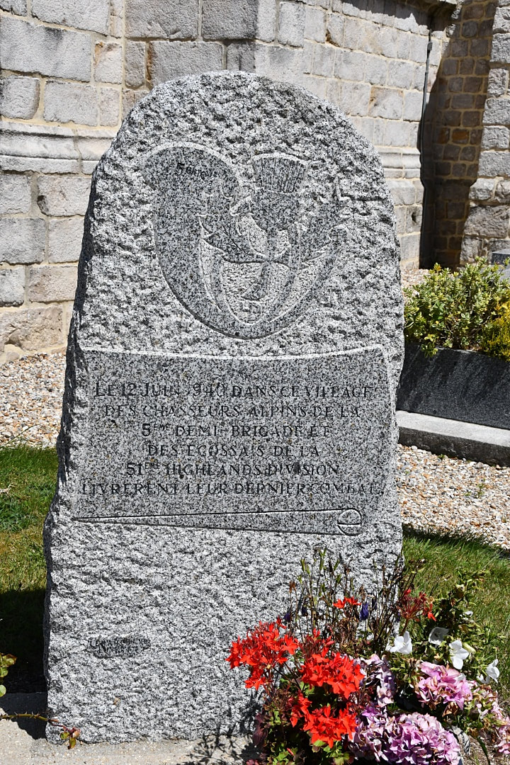
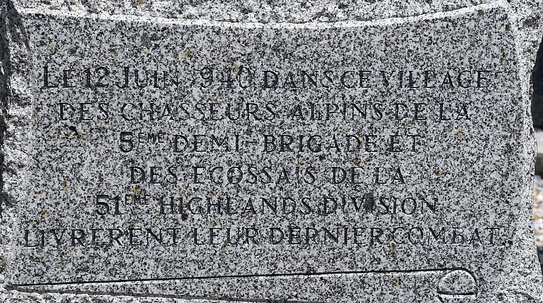
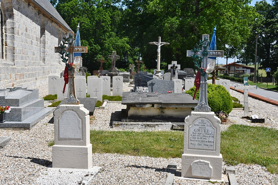
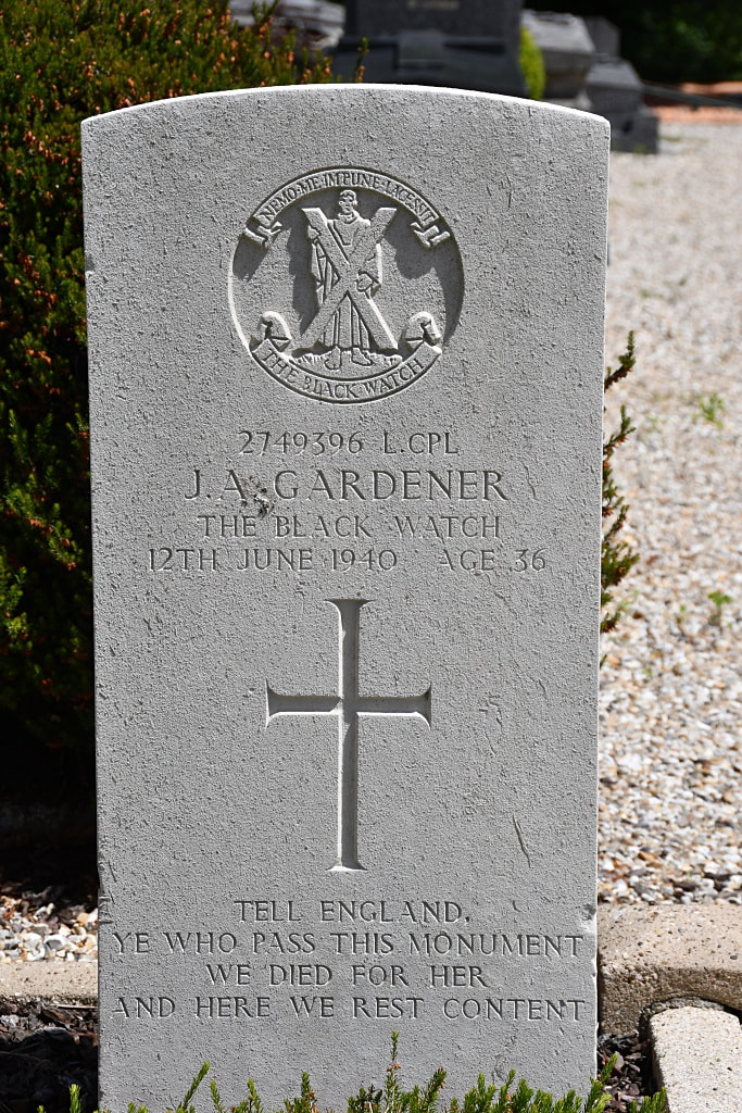
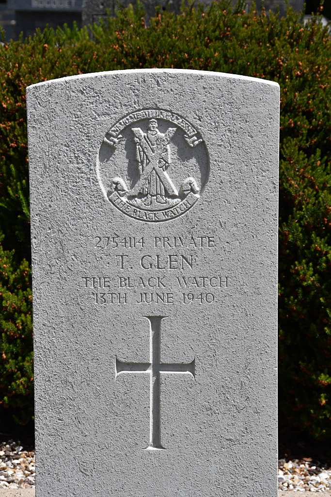
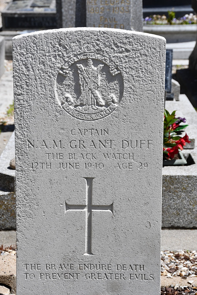
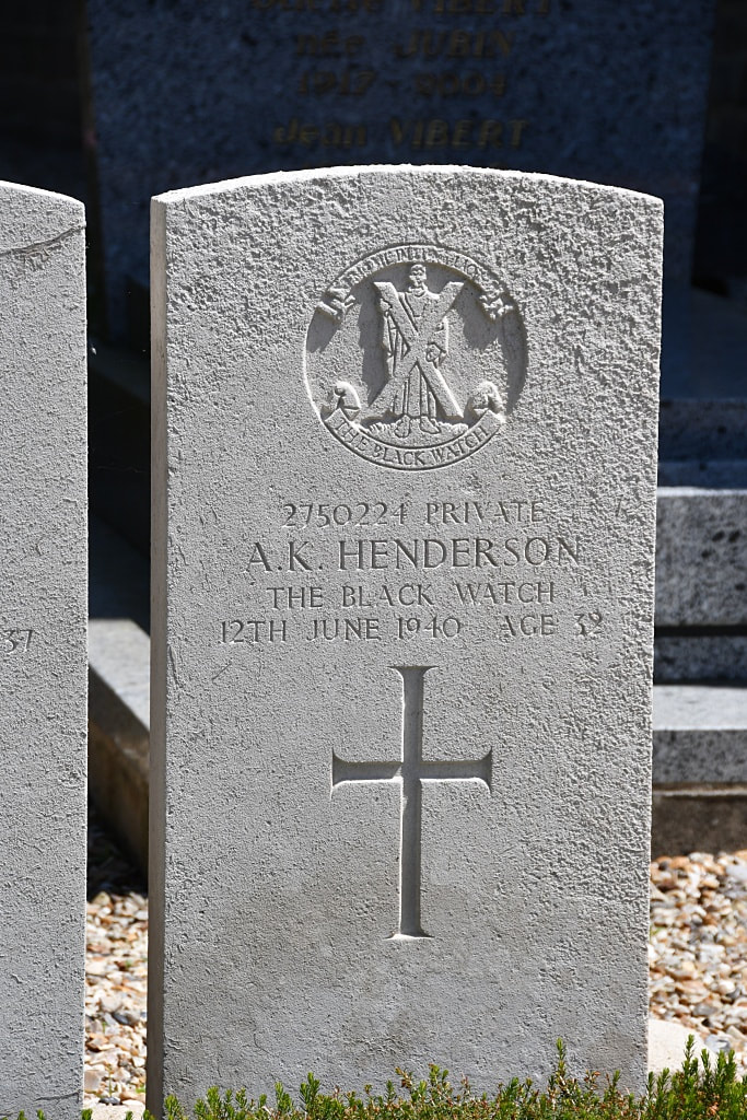
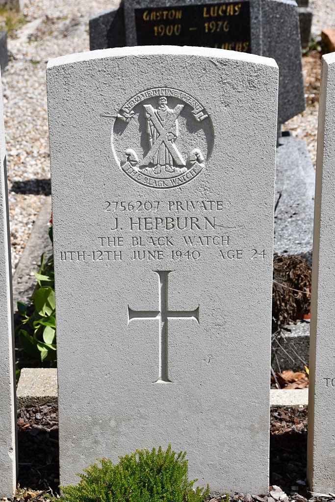
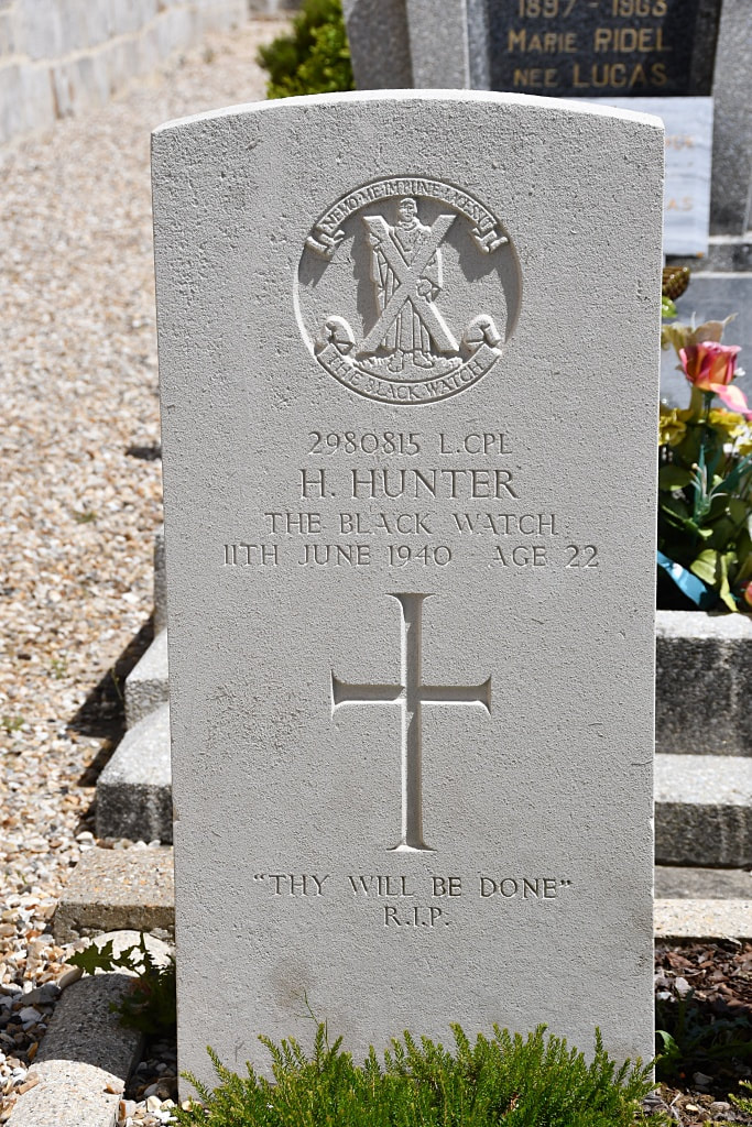
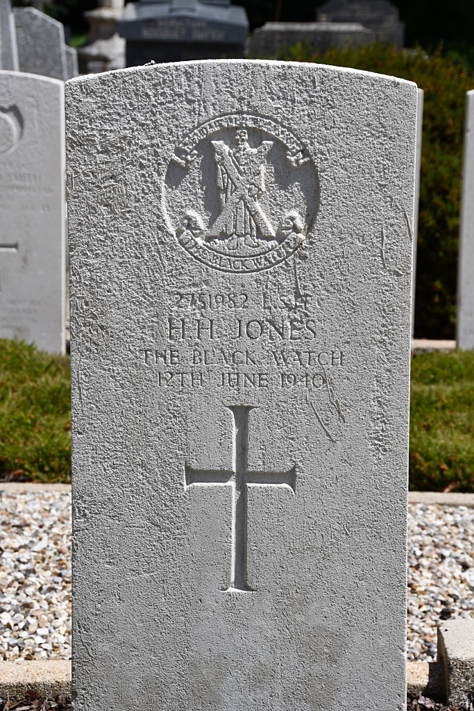
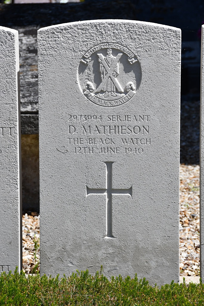
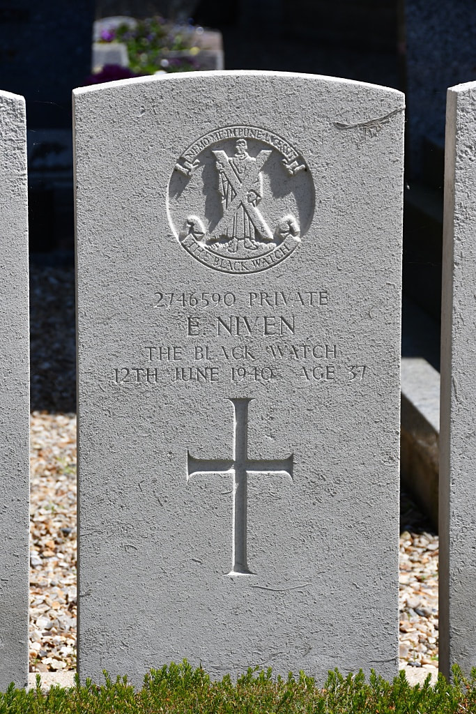
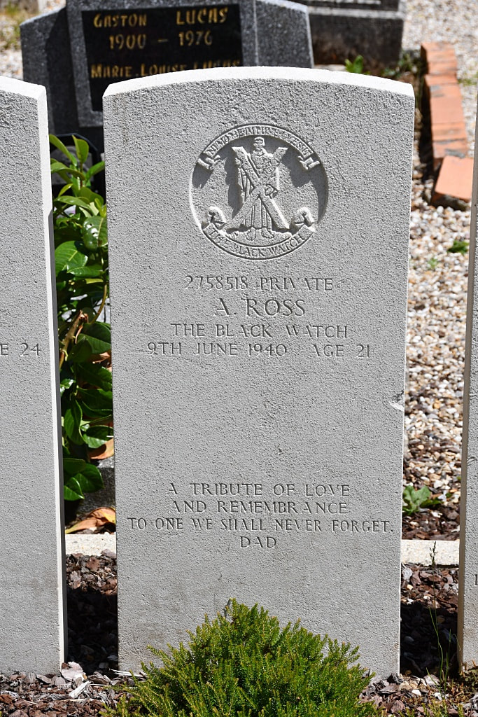
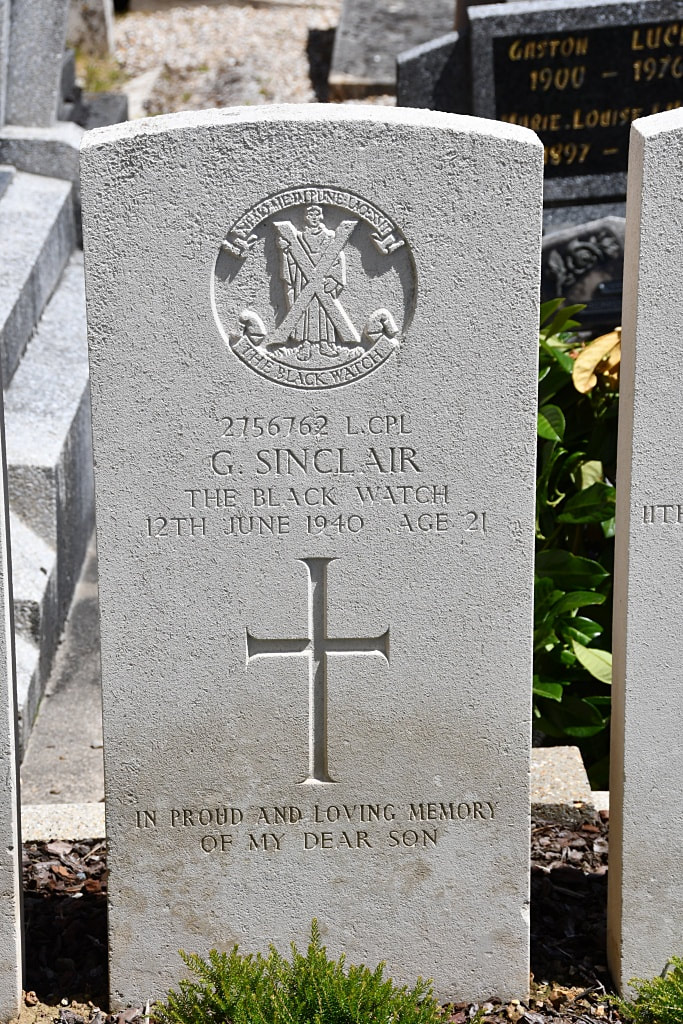
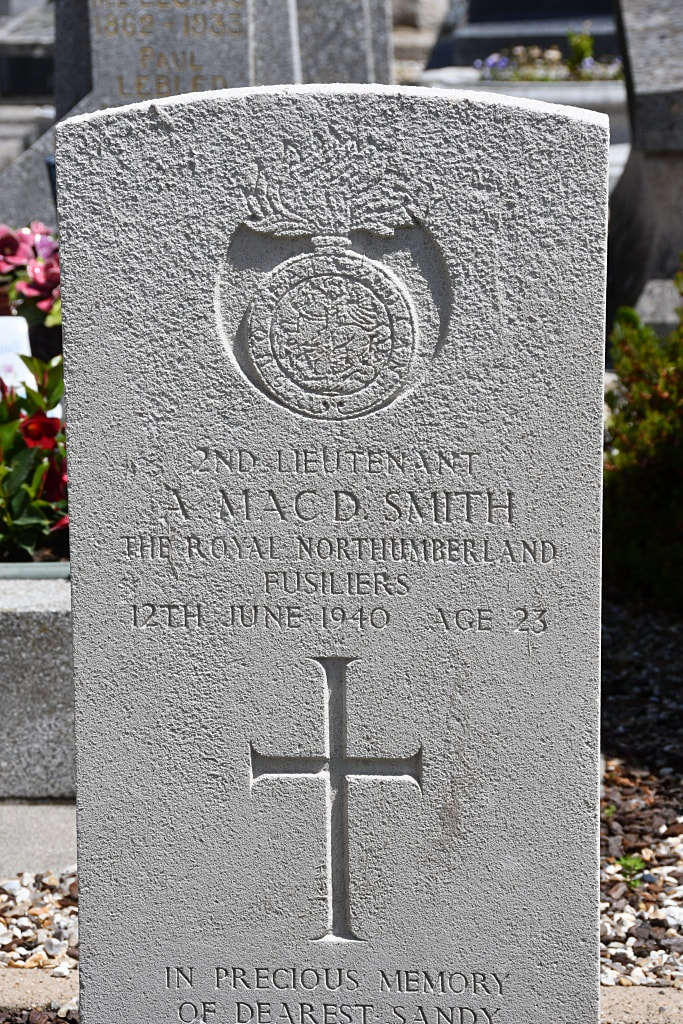
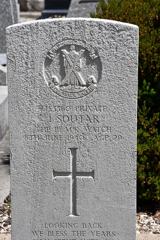
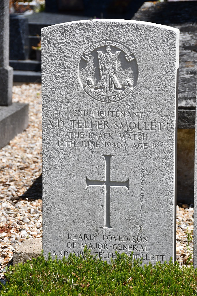
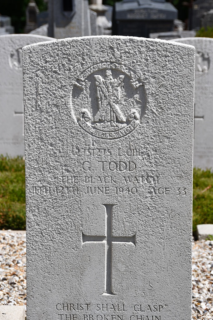
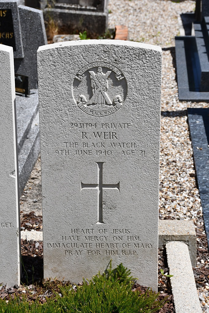
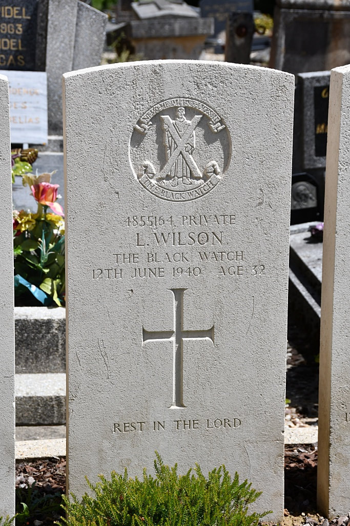
There are now 20, British 1939-45 war casualties commemorated in this churchyard. Of these, 3 are unidentified.

