BOURVILLE-TONNEVILLE CHURCHYARD
Seine-Maritime
France
GPS Coordinates: Latitude: 49.7908, Longitude: 0.83811
Location Information
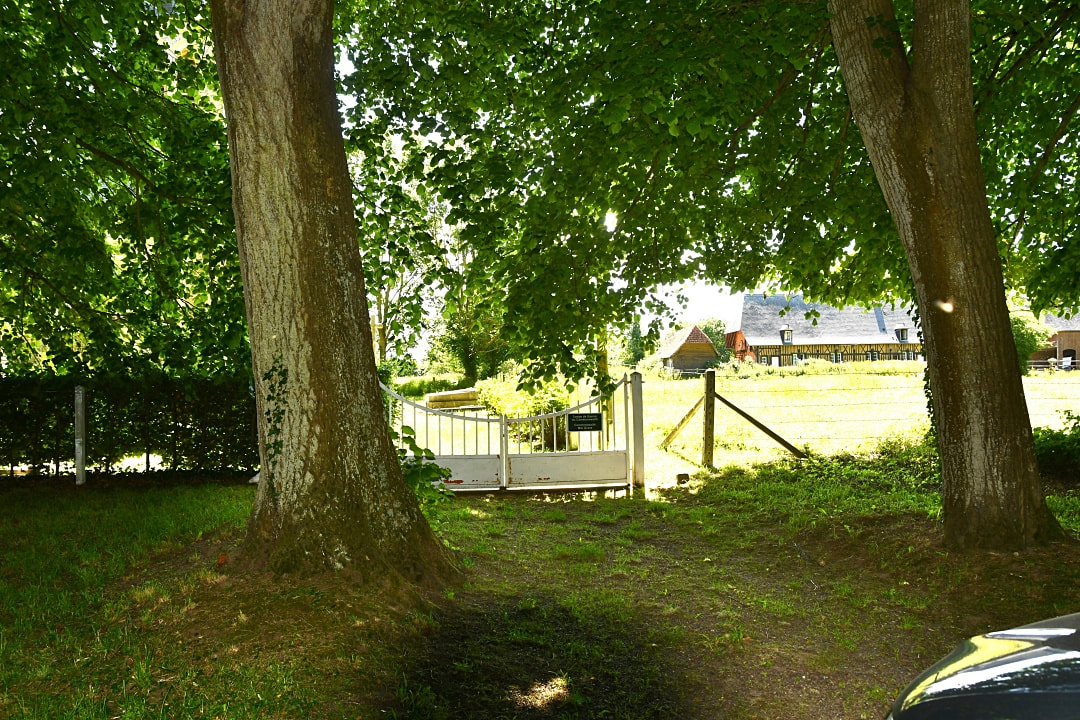
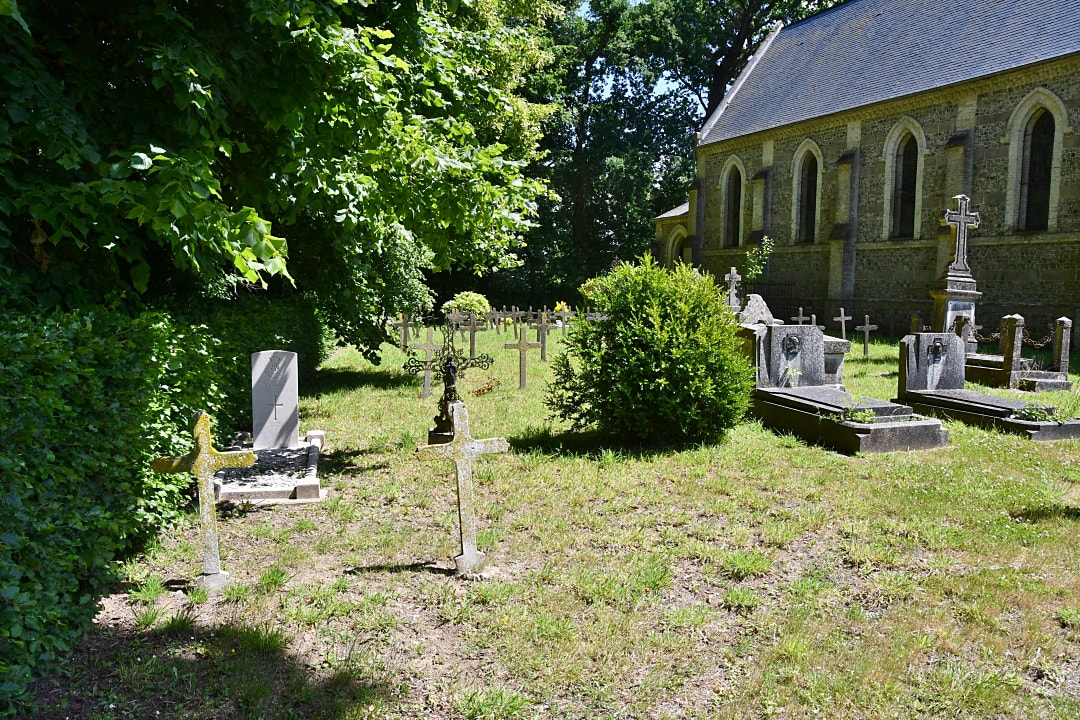
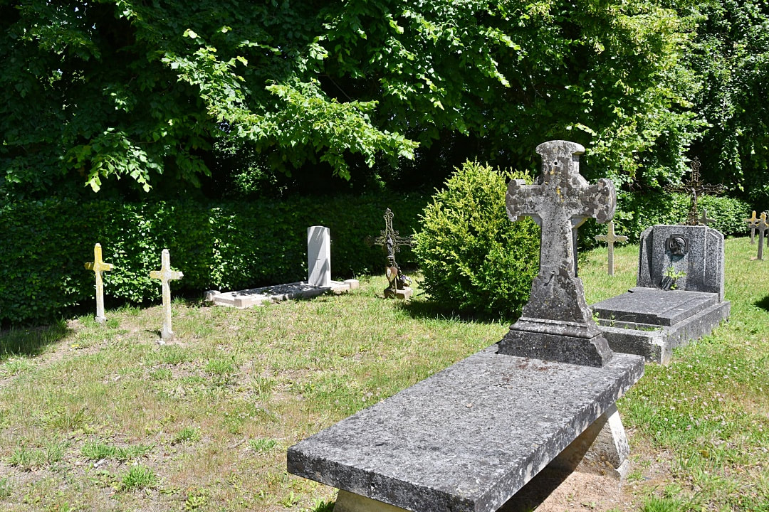
Bourville is a village and commune 30 kilometres south-west of Dieppe, 12 kilometres south-east of St. Valery-en-Caux, and 5 kilometres south-west of Fontaine-le-Dun. Tonneville is a hamlet about 1 mile east of Bourville, on the Rue du Chateau. The British grave is near the northern boundary of the churchyard just east of the entrance.
Burial Details
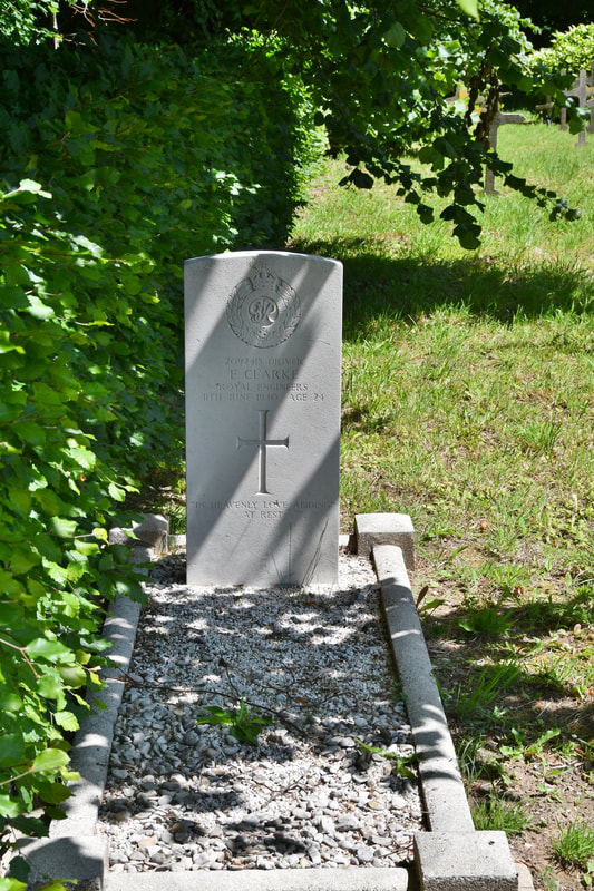
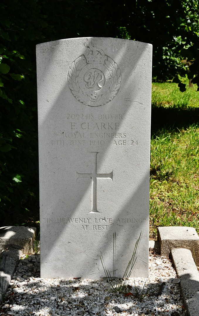
2092418 Driver Ernest Clarke, 271 Field Company, Royal Engineers, died 11th June 1940, aged 24. Son of Joseph and Edith Clarke, of Firth Park, Sheffield. His headstone bears the inscription "In Heavenly Love Abiding "At Rest"

