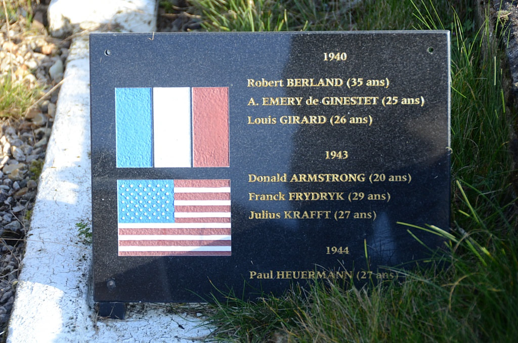
ÉPINAY CHURCHYARD
Eure
France
GPS Coordinates: Latitude: 48.98155, Longitude: 0.64144
Location Information
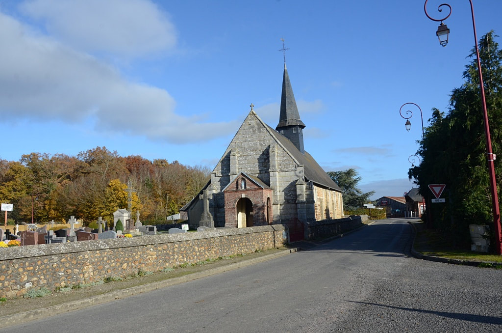
Épinay is a village and commune about 12 kilometres south of Bernay, a town on the Rouen-Alencon road (N.138).
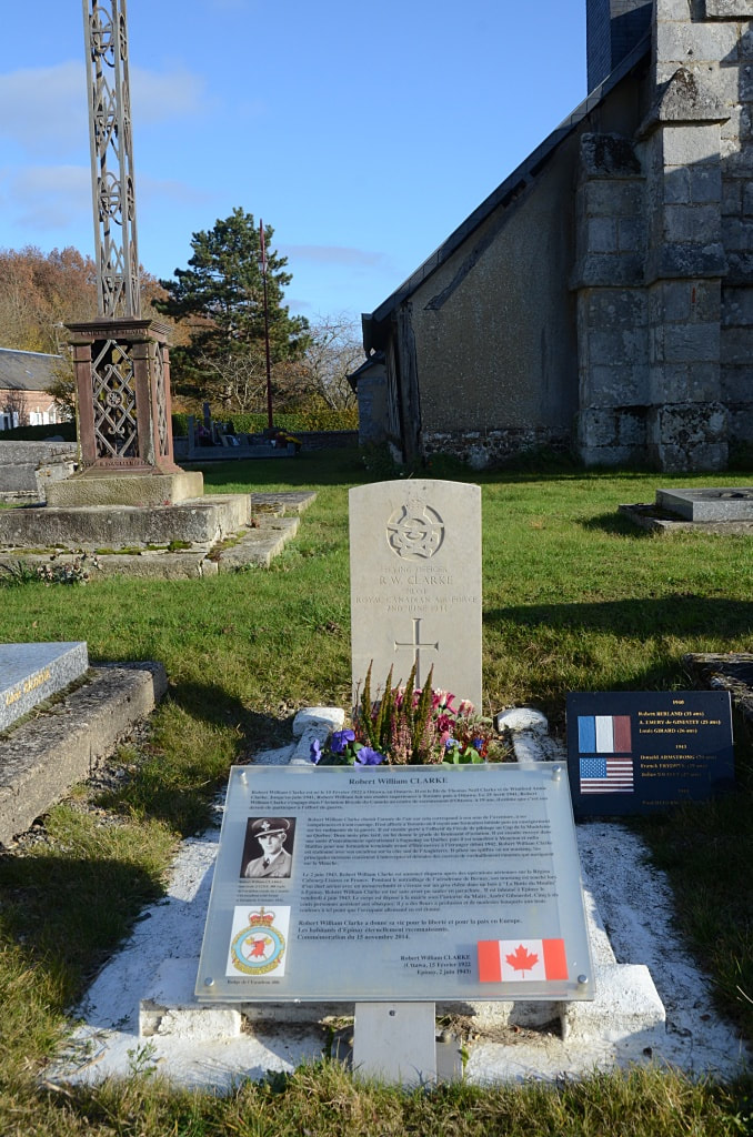
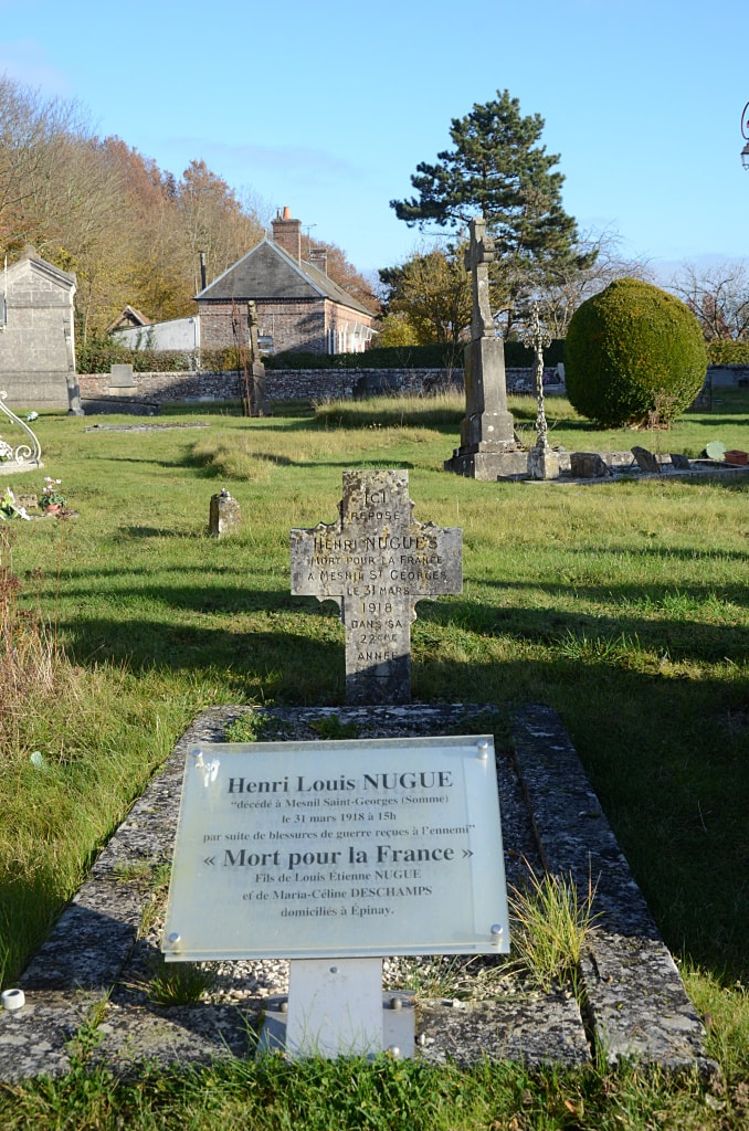
In the churchyard, some 12 yards north-west of the church porch, is the grave of an airman of the Royal Canadian Air Force.
Épinay is a village and commune about 12 kilometres south of Bernay, a town on the Rouen-Alencon road (N.138).
In the churchyard, some 12 yards north-west of the church porch, is the grave of an airman of the Royal Canadian Air Force.
Images in gallery below © Johan Pauwels
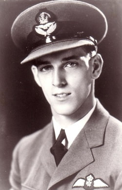
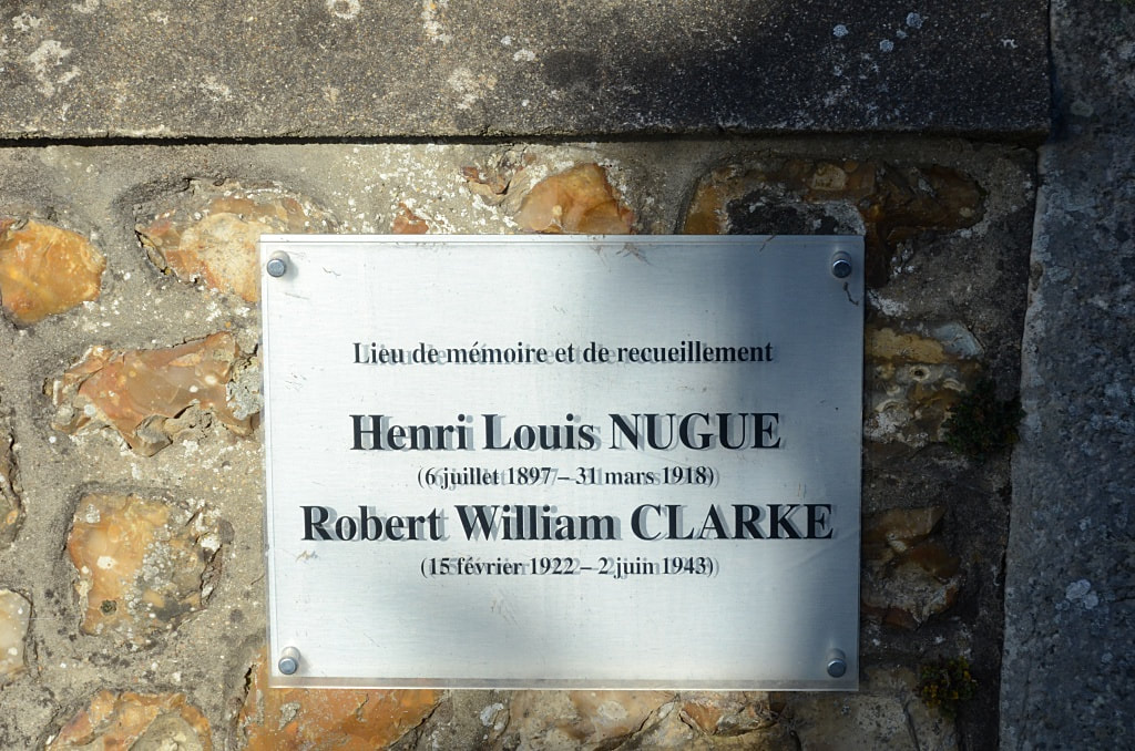
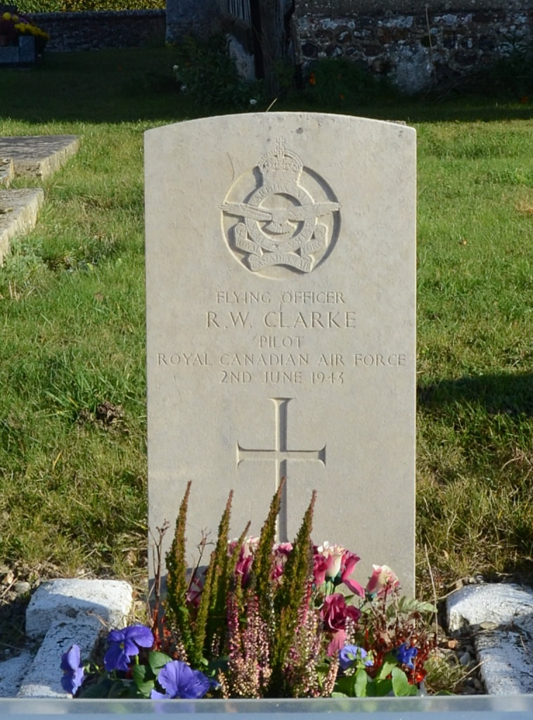
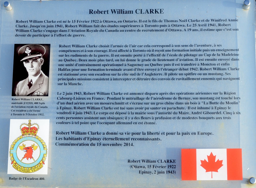
J/12318 Flying Officer
Robert William Clarke
Pilot in 400 Squadron, Royal Canadian Air Force
2nd June 1943.
Robert William Clarke
Pilot in 400 Squadron, Royal Canadian Air Force
2nd June 1943.

