USSY CHURCHYARD
Calvados
France
GPS Coordinates: Latitude: 48.94988, Longitude: -0.28025
Location Information
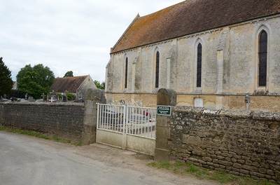
Ussy is a village and commune 26 kilometres south-south-east of Caen, 43 kilometres south-west of Lisieux, and 4 kilometres south-west of Potigny. This is a village on the Caen-Falaise road, 24 kilometres from Caen.
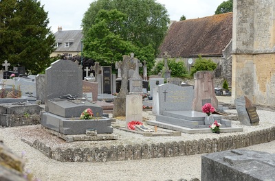
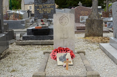
There is 1 Commonwealth burial of the 1939-1945 war here, 10 yards south-west of the church tower.
Images in gallery below © Johan Pauwels
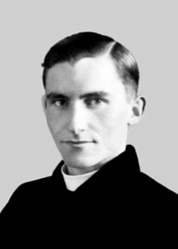
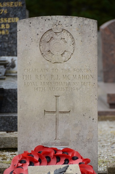
218709 Chaplain 4th Class
The Reverend Patrick Joseph McMahon
Royal Army Chaplains' Department
14th August 1944.
The Reverend Patrick Joseph McMahon
Royal Army Chaplains' Department
14th August 1944.

