ST. CLOUD-EN-DUNOIS COMMUNAL CEMETERY
Eure-et-Loir
France
GPS Coordinates: Latitude: 48.0393, Longitude: 1.4714
Location Information
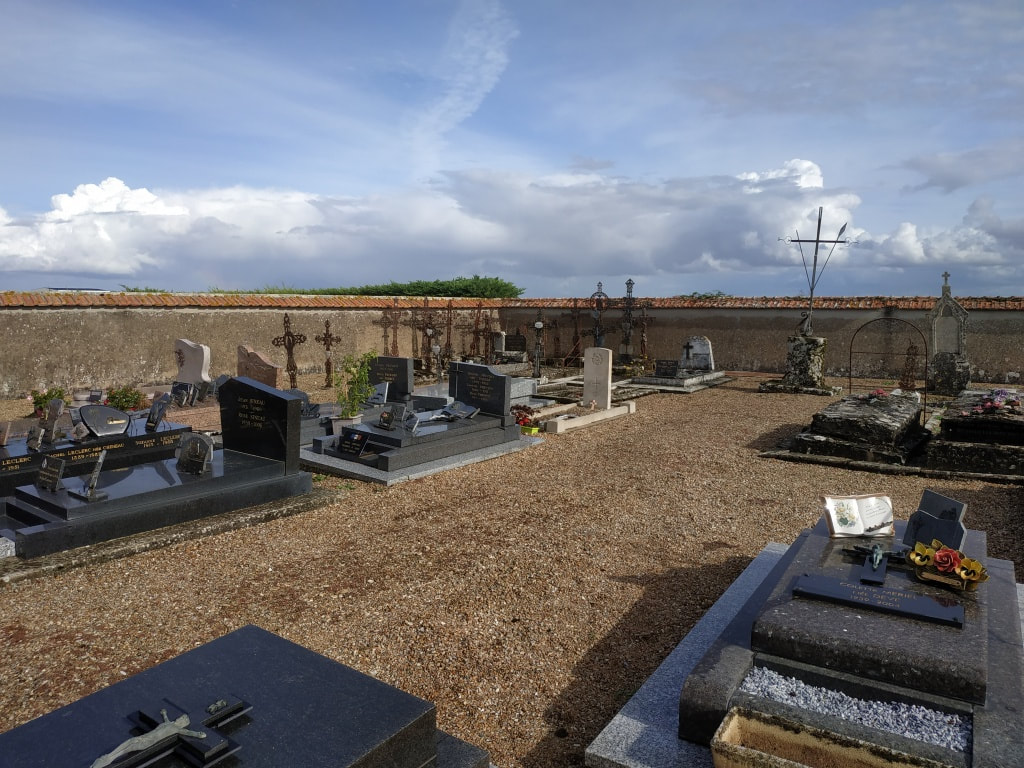
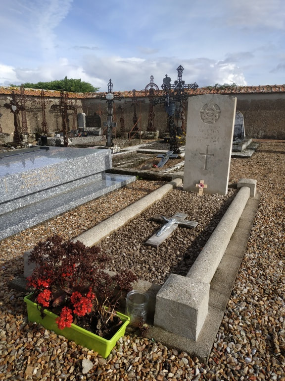
St. Cloud-en-Dunois is a village and commune on the Chateaudun-Orleans road (N.155) 5 miles (8 kilometres) east-south-east of Châteaudun. The most convenient railway station is Chateaudun on the Paris-Vendome-Tours line, and taxis can be hired at the station. The communal cemetery is south-east of the church. On the north-eastern side of the main path from the church to the crucifix, and near the south-eastern boundary is the grave of an airman of the Royal Canadian Air Force.
St. Cloud-en-Dunois is a village and commune on the Chateaudun-Orleans road (N.155) 5 miles (8 kilometres) east-south-east of Châteaudun. The most convenient railway station is Chateaudun on the Paris-Vendome-Tours line, and taxis can be hired at the station. The communal cemetery is south-east of the church. On the north-eastern side of the main path from the church to the crucifix, and near the south-eastern boundary is the grave of an airman of the Royal Canadian Air Force.
Images in the gallery below used with the permission of the Commonwealth War Graves Commission

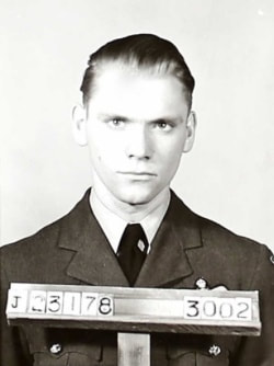
J/23078 Flying Officer
Robert Roy Giffin
Pilot in 514 Squadron, Royal Canadian Air Force
29th July 1944.
Robert Roy Giffin
Pilot in 514 Squadron, Royal Canadian Air Force
29th July 1944.


