ESSOYES COMMUNAL CEMETERY
Aube
France
GPS Coordinates: Latitude: 48.0573, Longitude: 4.52826
Location Information
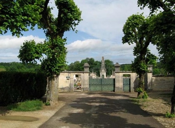
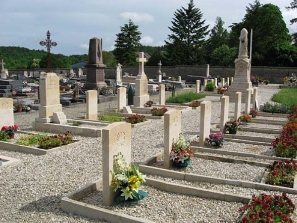
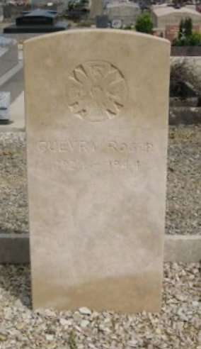
Essoyes is a village and commune some 27 miles (44 kilometres) south-east of Troyes, and some 15 miles (24 kilometres) south-west of Bar-sur-Aube. The communal cemetery lies on the western side of the village on the road to Loches-sur-Ource, in the south-east part is the grave of one Canadian airman. There are also some French military burials on what appears to be CWGC Style headstones and all bear a special crest. One of these crests engraved on a special stone has been placed against the grave of Flying Officer Anderson.
No. of Identified Casualties: 1
Cemetery pictures © Barry Cuttell
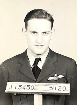
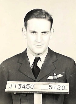
J/13450 Flying Officer
Charles Edward Anderson
Pilot in 298 Squadron, Royal Canadian Air Force
5th August 1944.
Charles Edward Anderson
Pilot in 298 Squadron, Royal Canadian Air Force
5th August 1944.

