CONNELLES CHURCHYARD
Eure
France
GPS Coordinates: Latitude: 49.25584, Longitude: 1.27045
Location Information
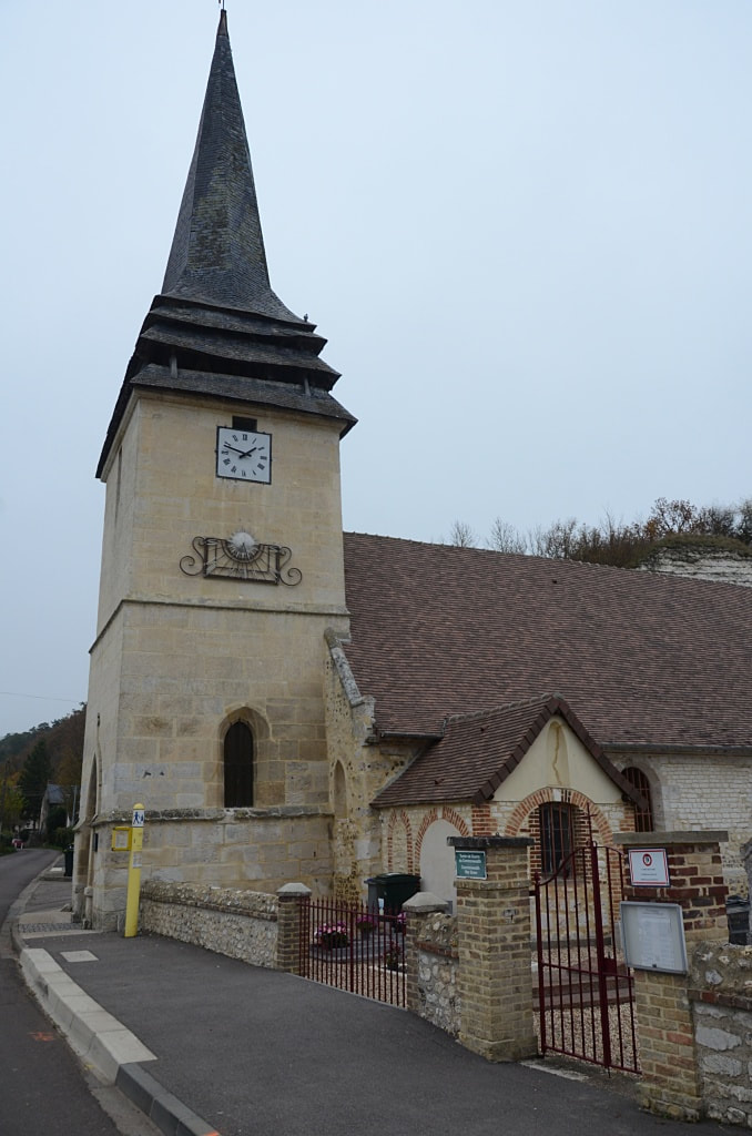
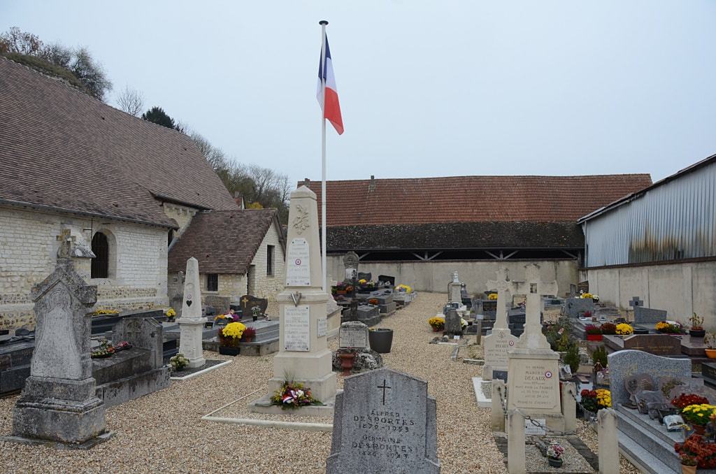
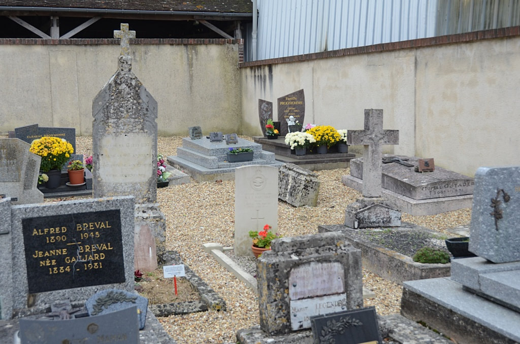
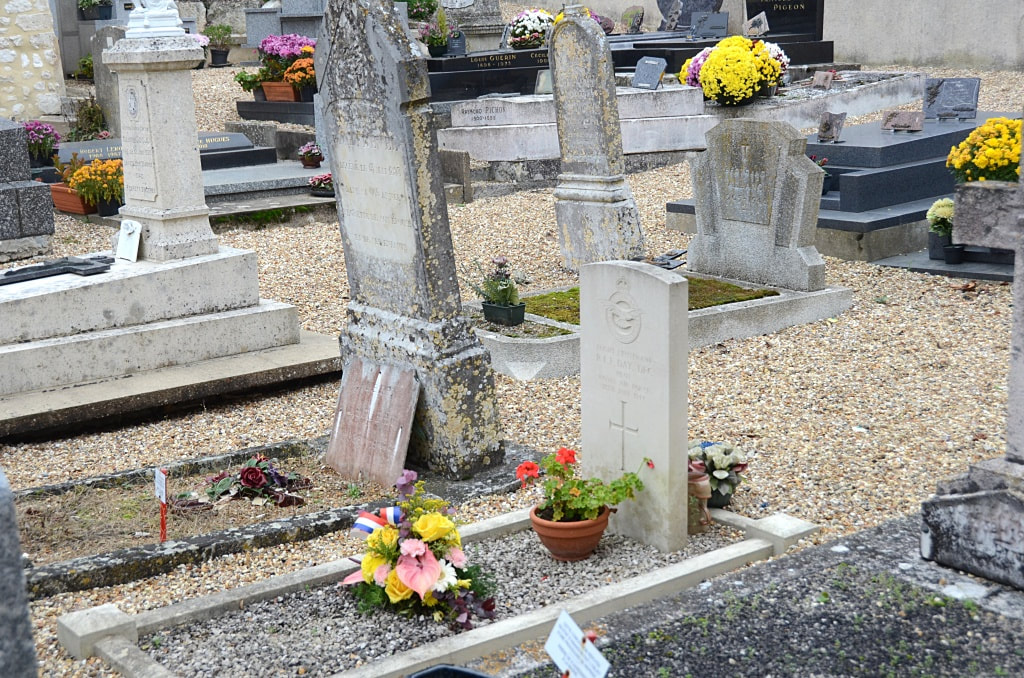
Connelles is a small village approximately 22 kilometres south-east of Rouen. It overlooks the River Seine south of where the rivers Eure and Seine combine. The nearest small town is St Etienne-du-Vaucray across the water. The churchyard is on the main road (D19) through the village. The single 1939-1945 Commonwealth war grave is located on the right of the main path beyond the Calvary.
Burial Details
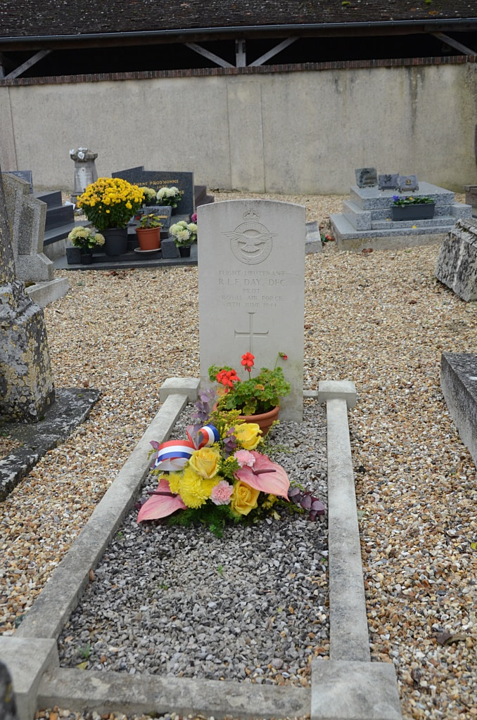
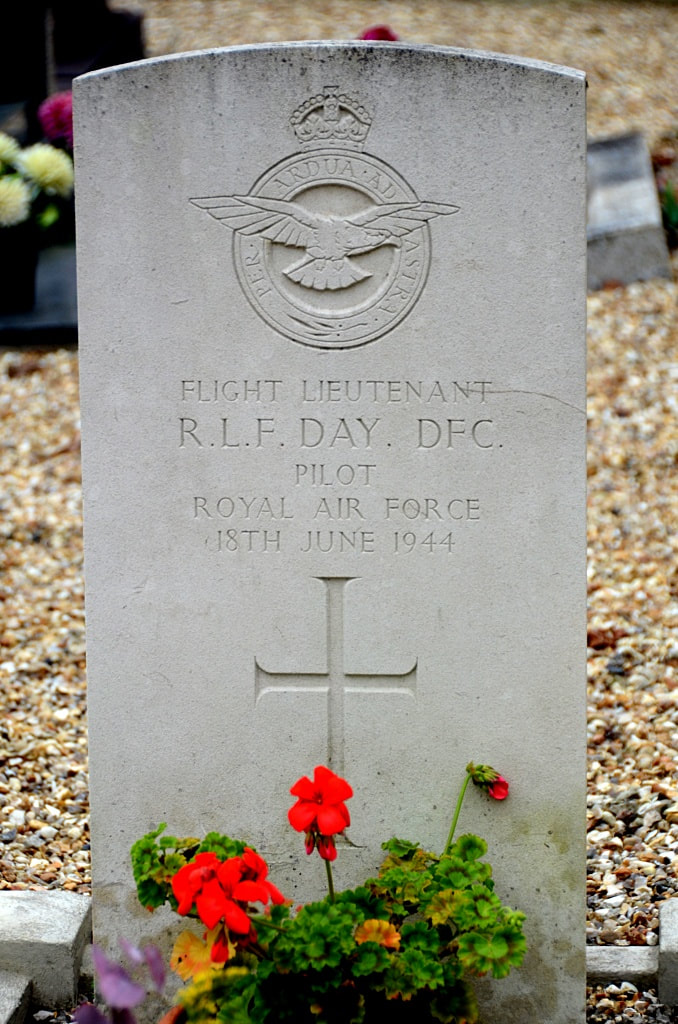
41263 Flight Lieutenant Robert Lionel Frank Day, D. F. C. Pilot in 132 Squadron, Royal Air Force, died 18th June 1944.

