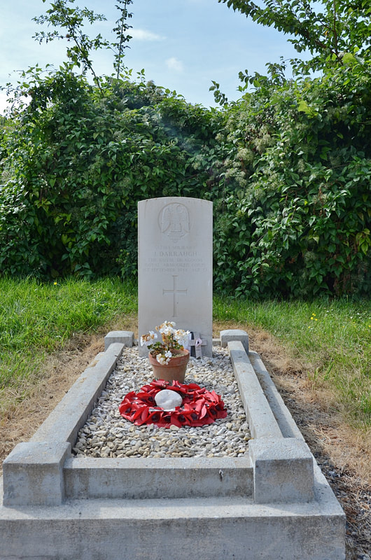
BOVELLES COMMUNAL CEMETERY
Somme
France
GPS Coordinates: Latitude: 49.89023, Longitude: 2.13445
Location Information
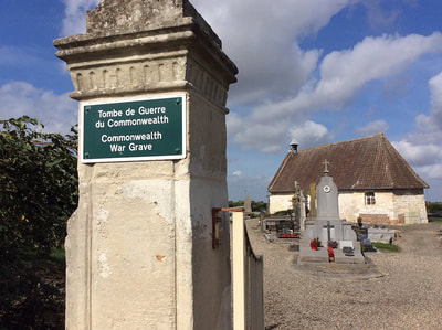
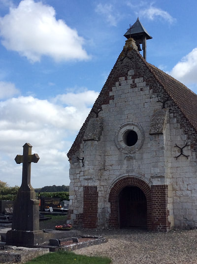
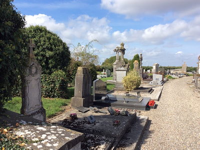
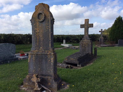
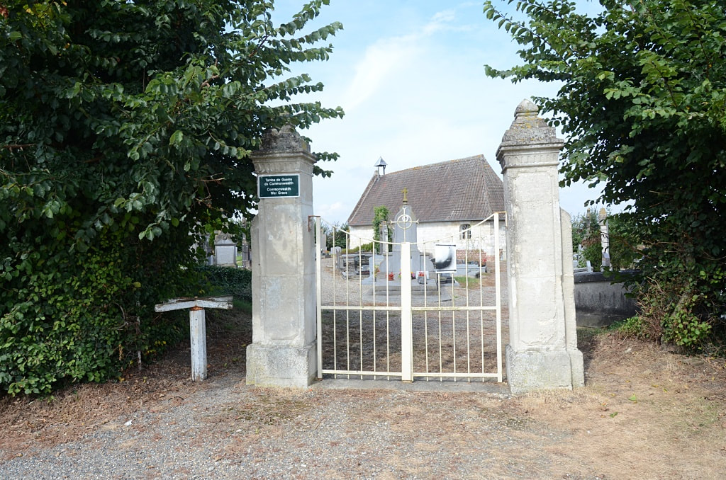
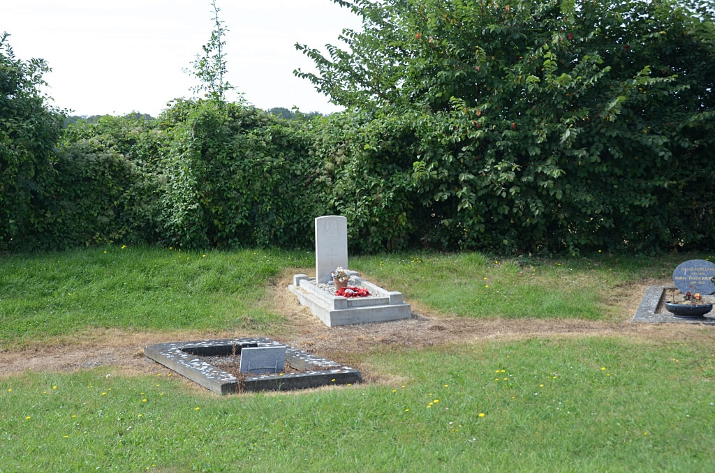
Bovelles is a village and commune some 11 kilometres west of Amiens and about 1 kilometre south of the D.211 road from that town to Molliens-Vidane. The communal cemetery is at the northern edge of the village, in the by-road leading from the D.211 road. The British grave is near the middle of the western boundary, about 23 metres from the north-western corner of the chapel.
Bovelles is a village and commune some 11 kilometres west of Amiens and about 1 kilometre south of the D.211 road from that town to Molliens-Vidane. The communal cemetery is at the northern edge of the village, in the by-road leading from the D.211 road. The British grave is near the middle of the western boundary, about 23 metres from the north-western corner of the chapel.
Images in gallery below © Jean-Claude Graux
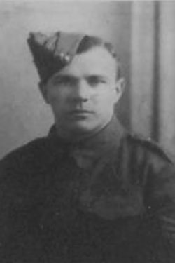
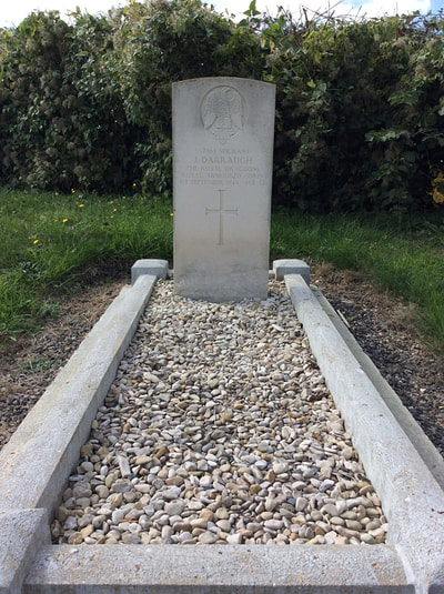
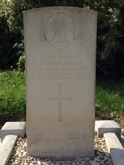
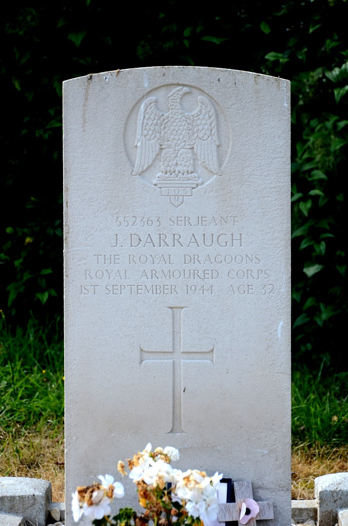
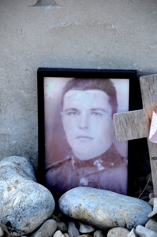
552363 Serjeant
James Darraugh
1st The Royal Dragoons, Royal Armoured Corps
1st September 1944, aged 32.
Son of Samuel and Ethel Darraugh, of Mossley, Lancashire; husband of Clara Darraugh, of Mossley.
James Darraugh
1st The Royal Dragoons, Royal Armoured Corps
1st September 1944, aged 32.
Son of Samuel and Ethel Darraugh, of Mossley, Lancashire; husband of Clara Darraugh, of Mossley.

