WOESTEN CHURCHYARD
West-Vlaanderen
Belgium
GPS Coordinates: Latitude: 50.90052, Longitude: 2.78958
Location Information
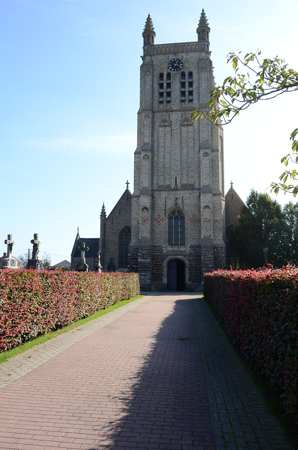
Woesten Communal Cemetery is located 7 Km north west of Ieper town centre in the village of Woesten, on the N8 connecting Ieper to Veurne via Woesten.
From Ieper town centre the Veurnsewweg (N8), is reached via Elverdingsestraat, then turning right onto Haiglaan. Veurnseweg is a continuation of Haiglaan.
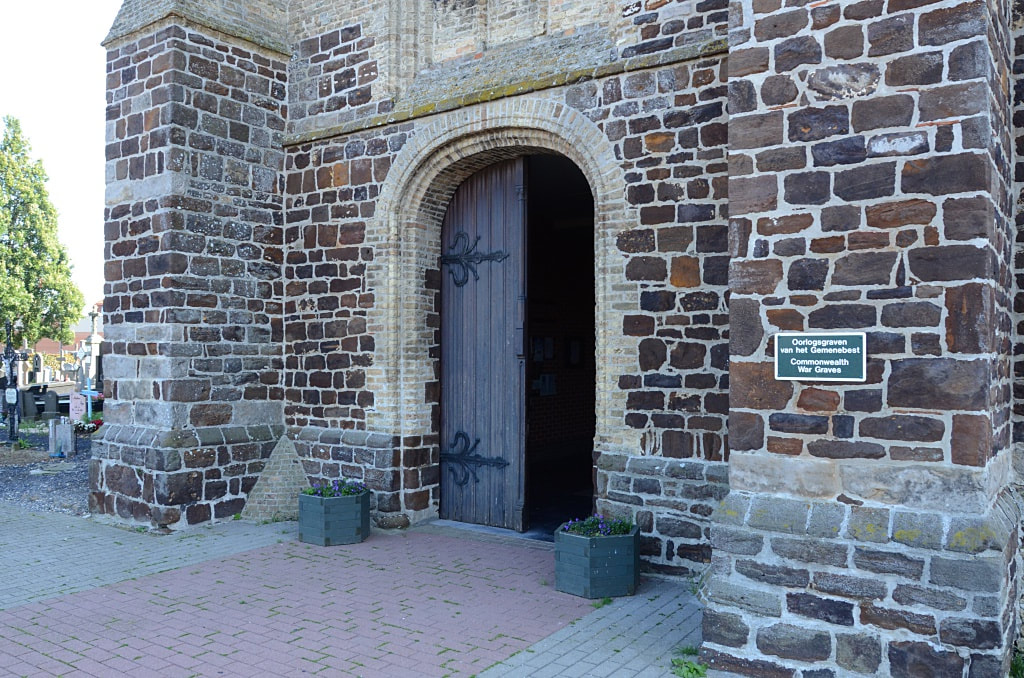
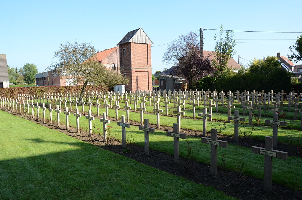
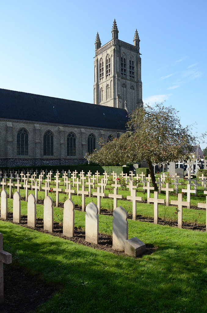
6.5 Km along the Veurnseweg N8 lies the village of Woesten. The cemetery is located immediately next to the church on the right hand side of the road.
Historical Information
The British Expeditionary Force was involved in the later stages of the defence of Belgium following the German invasion in May 1940, and suffered many casualties in covering the withdrawal to Dunkirk.
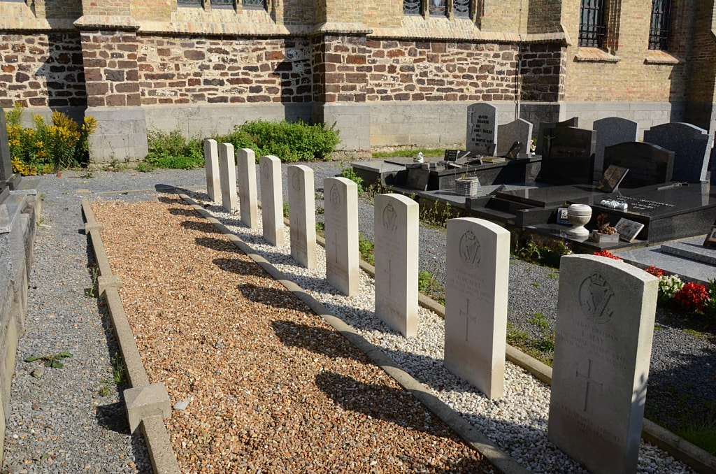
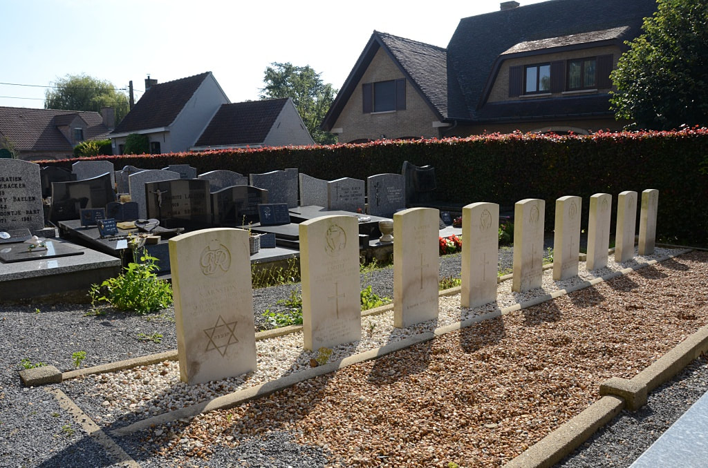
Woesten Churchyard contains nine Commonwealth burials of the Second World War, one of which is unidentified.
World War Two Identified Casualties: United Kingdom 8.
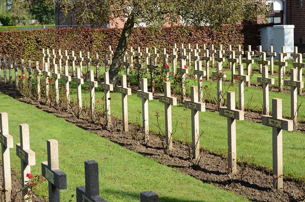
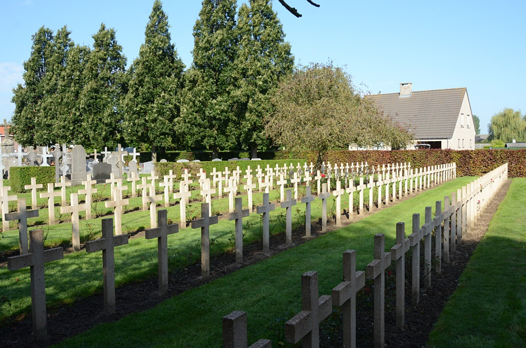
Churchyard pictures © Johan Pauwels
Woesten Communal Cemetery is located 7 Km north west of Ieper town centre in the village of Woesten, on the N8 connecting Ieper to Veurne via Woesten.
From Ieper town centre the Veurnsewweg (N8), is reached via Elverdingsestraat, then turning right onto Haiglaan. Veurnseweg is a continuation of Haiglaan.
6.5 Km along the Veurnseweg N8 lies the village of Woesten. The cemetery is located immediately next to the church on the right hand side of the road.
Historical Information
The British Expeditionary Force was involved in the later stages of the defence of Belgium following the German invasion in May 1940, and suffered many casualties in covering the withdrawal to Dunkirk.
Woesten Churchyard contains nine Commonwealth burials of the Second World War, one of which is unidentified.
World War Two Identified Casualties: United Kingdom 8.
Churchyard pictures © Johan Pauwels