SANTERNO VALLEY WAR CEMETERY
Tuscany
Italy
Location Information
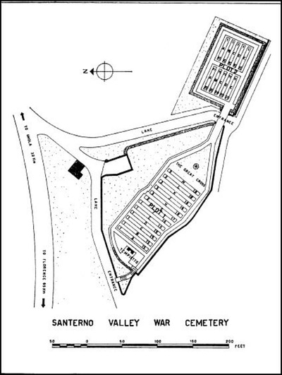
Santerno Valley War Cemetery is about 32 kilometres south-west of Imola and a little south of the main road (SP610) from Imola to Firenzuola. Imola is a town on the SS9 halfway between Bologna and Forli.
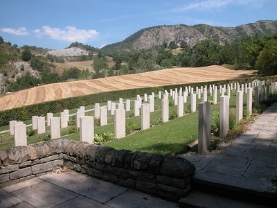
Take the autostrada A1 exiting Roncobilaccio and proceed in the direction of Futa-Firenzuola. Go past Firenzuola and carry on towards Imola. The cemetery, which is approximately 13 kilometres further on, will be seen on top of the hill on the right hand side.
Cemetery address: Strada Statale 610 Cercetole - 50030 Coniale (FI) Tuscany.
GPS Co-ordinates: Latitude: 44.163589, Longitude: 11.473492.
Visiting Information
The cemetery is permanently open and may be visited at any time.
Wheelchair access to the cemetery is possible via an alternative entrance.
Historical Information
On 3 September 1943 the Allies invaded the Italian mainland, the invasion coinciding with an armistice made with the Italians who then re-entered the war on the Allied side.
Following the fall of Rome to the Allies in June 1944, the German retreat became ordered and successive stands were made on a series of defensive lines. In the northern Appenine mountains the last of these, the Gothic Line, was breached by the Allies during the Autumn campaign and the front inched forward as far as Ravenna in the Adratic sector, but with divisions transferred to support the new offensive in France, and the Germans dug in to a number of key defensive positions, the advance stalled as winter set in.
The cemetery was started by the British 78th Division during the fighting in the Apennines towards the end of 1944, and was later added to by bringing in burials from the surrounding region.
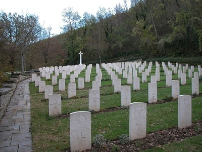
Santerno Valley War Cemetery contains 287 Commonwealth burials of the Second World War.
Cemetery pictures used with the permission of the Commonwealth War Graves Commission


