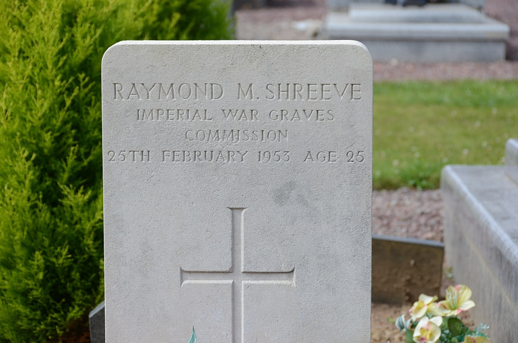
SALOUËL COMMUNAL CEMETERY
Somme
France
GPS Coordinates: Latitude: 49.86579, Longitude: 2.24296
Location Information
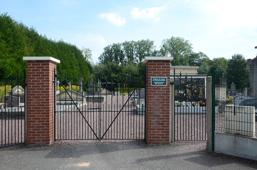
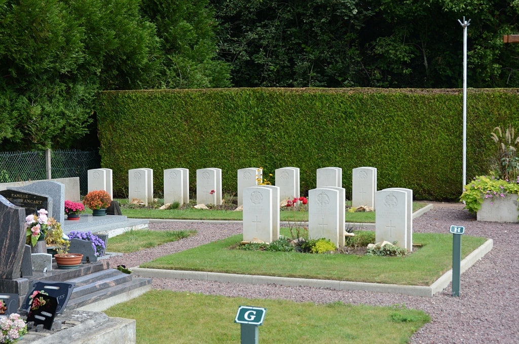
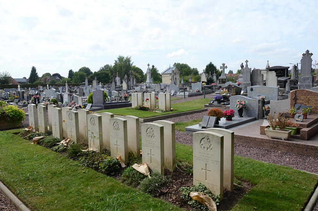
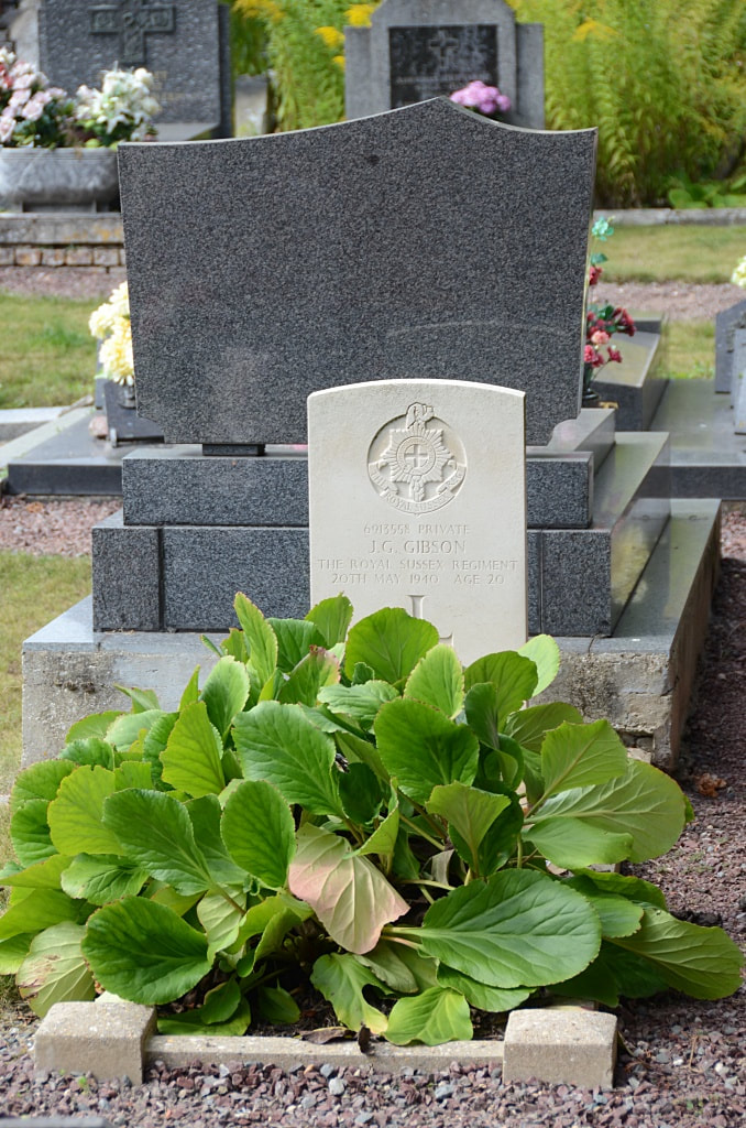
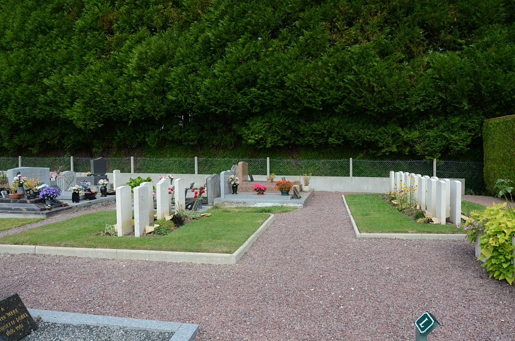
Salouël is a village and commune 4 kilometres south-west of Amiens on the road to Poix. The Communal Cemetery is at the southern end of the village in the fields, about 275 metres east of the road which runs through Salouël to Saleux and Conty. The war graves are in the north-eastern corner, near the crucifix.
History Information
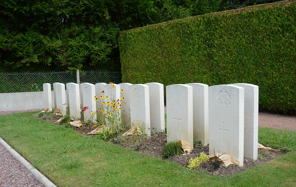
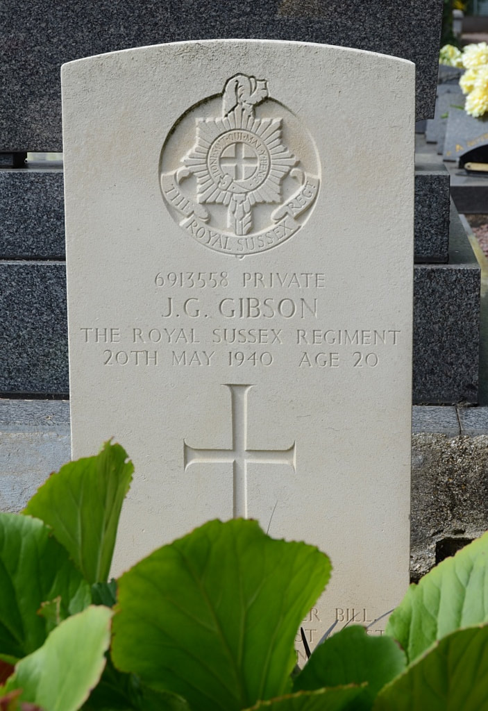
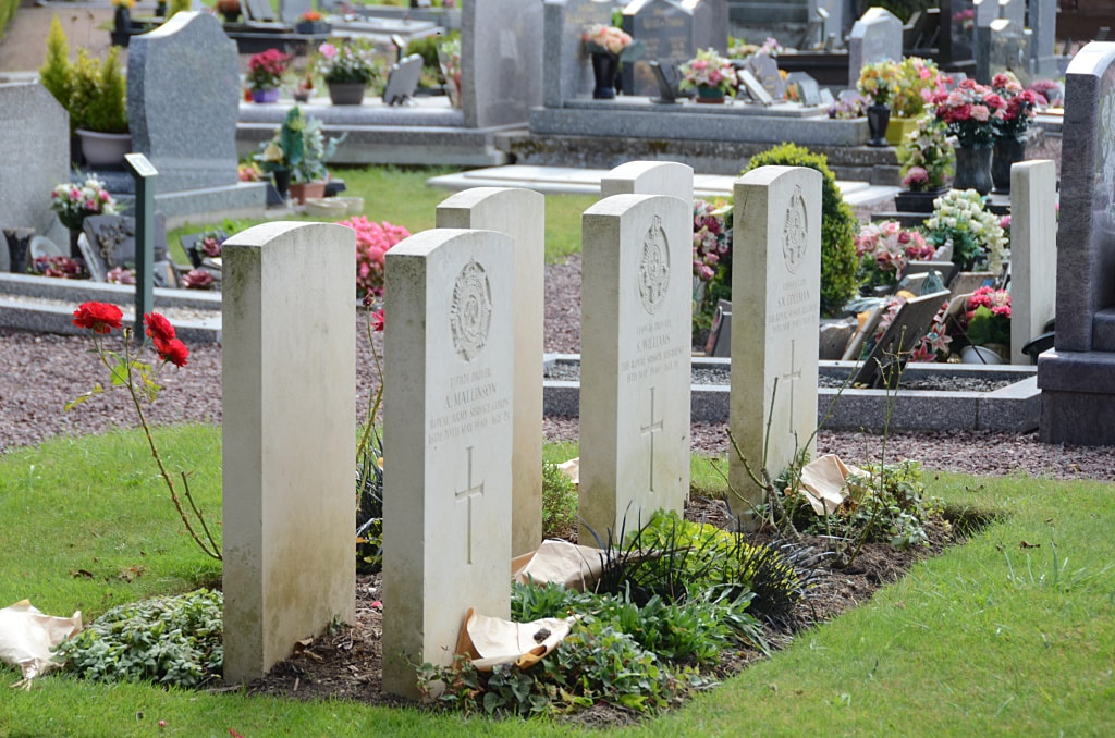
There are 23, 1939-45 war casualties commemorated in this site. Of these, 4 are unidentified.
Total Burials: 23.
Identified Casualties: United Kingdom 19.
Unidentified Casualties: 4.

