
RHENEN GENERAL CEMETERY
Utrecht
The Netherlands
GPS Coordinates: Latitude: 51.96145, Longitude: 5.57525
Location Information
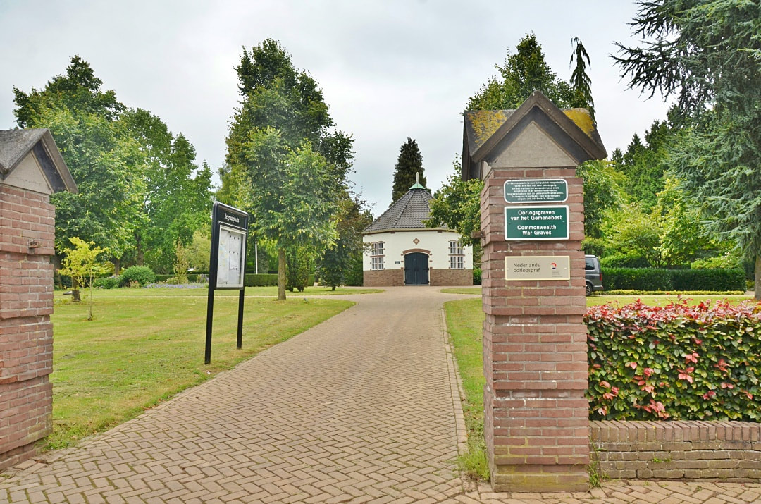
The village of Rhenen is situated in the province of Utrecht, 26 kilometres west-south-west of Arnhem and 47 kilometres east-south-east of Utrecht. The General Cemetery is located on the north-east side of the village in the Achterbergschestraatweg.
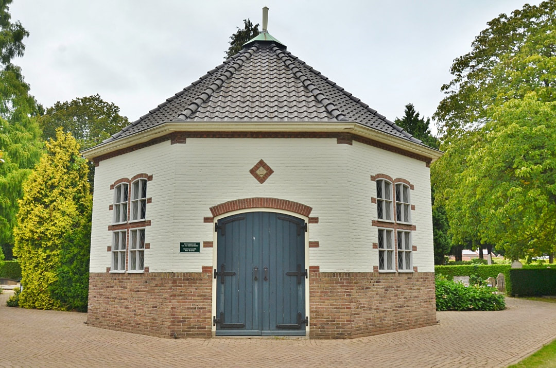
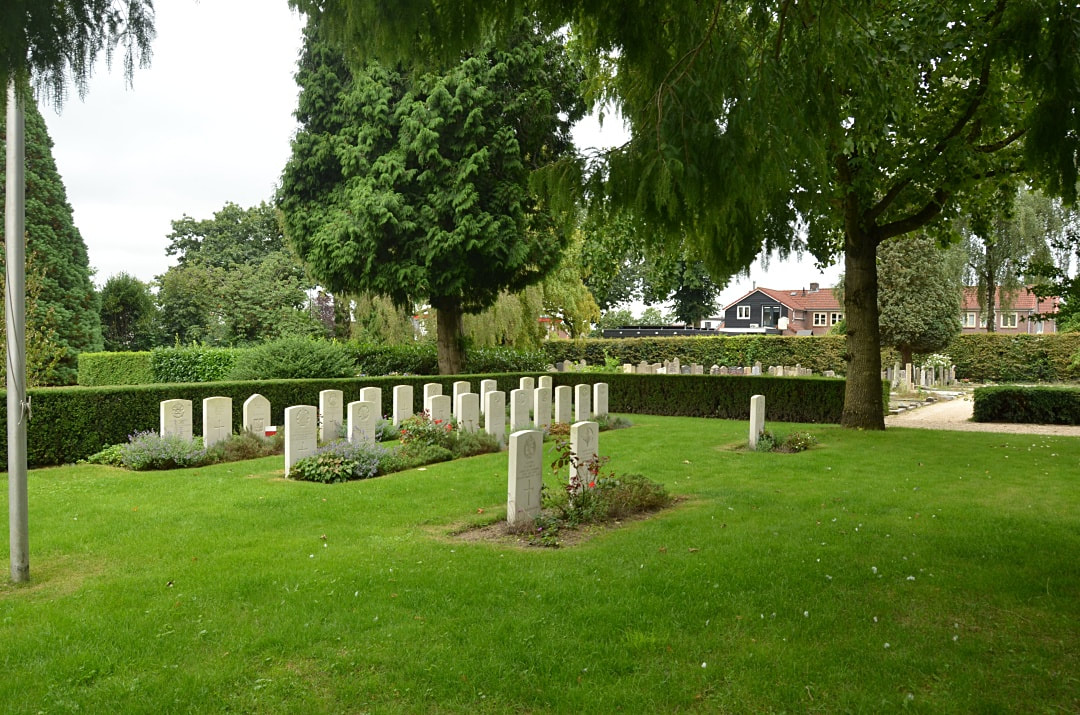
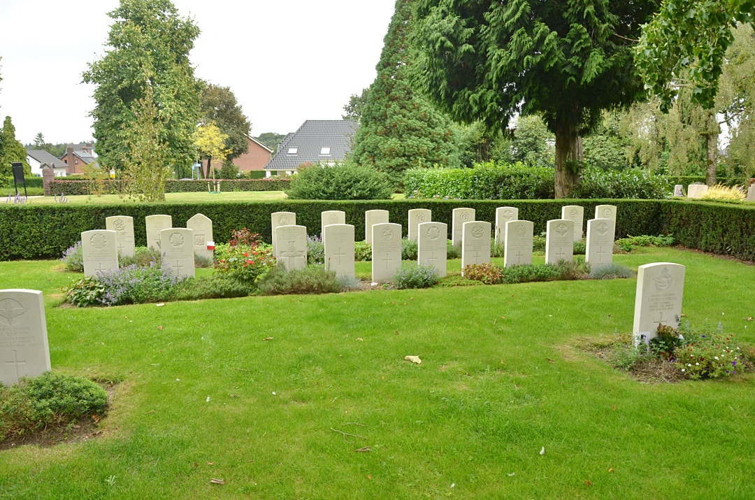
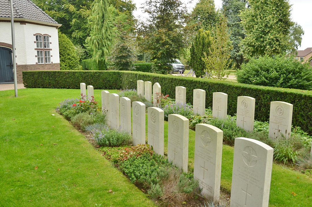
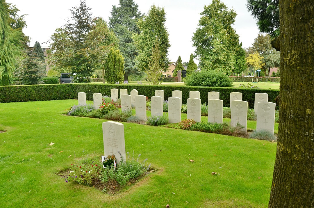
The war graves are on the left-hand side, off the main entrance path in the cemetery.
Historical Information
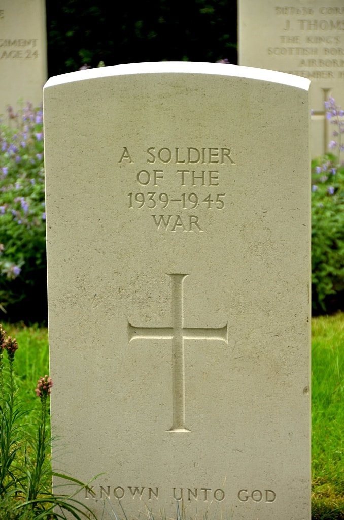
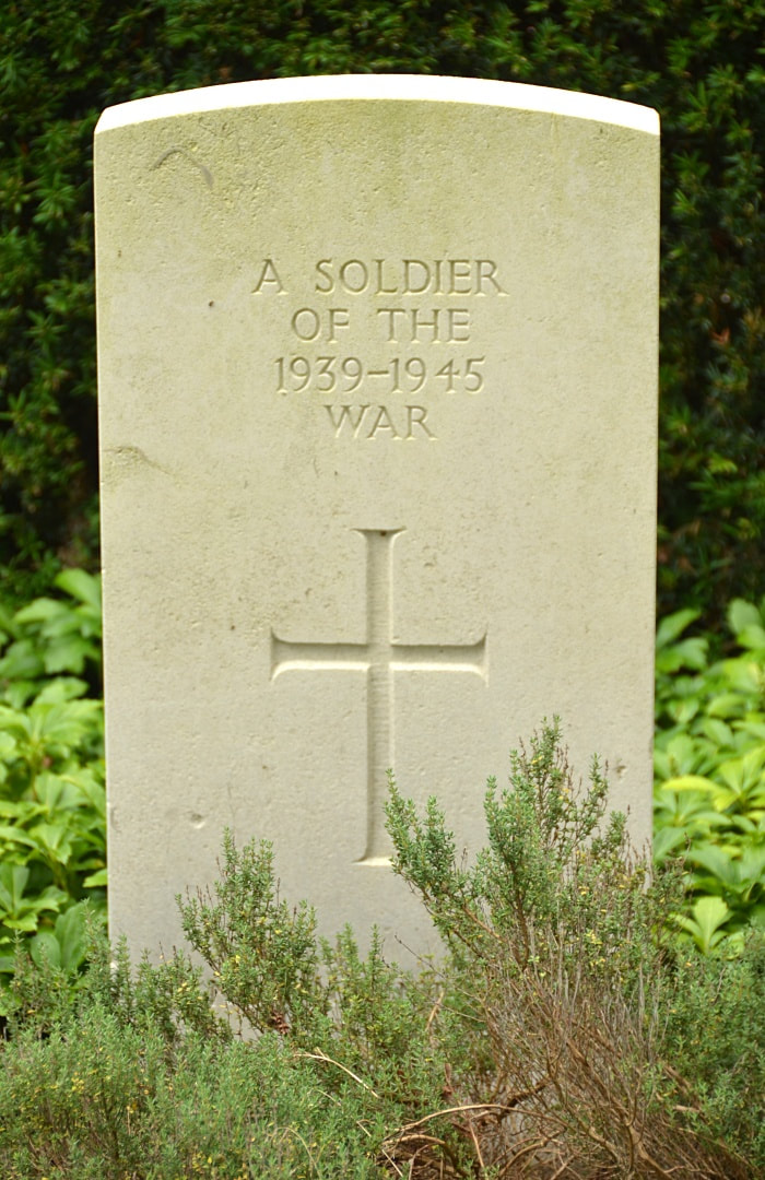
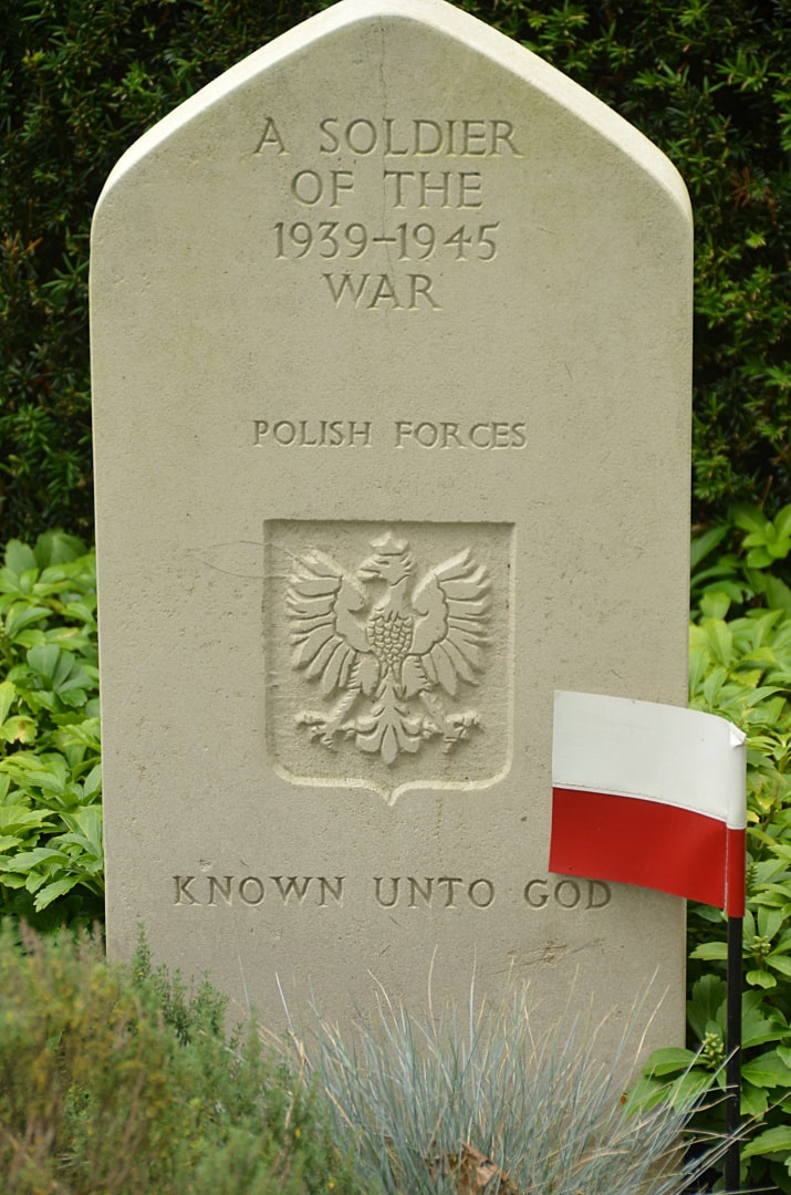
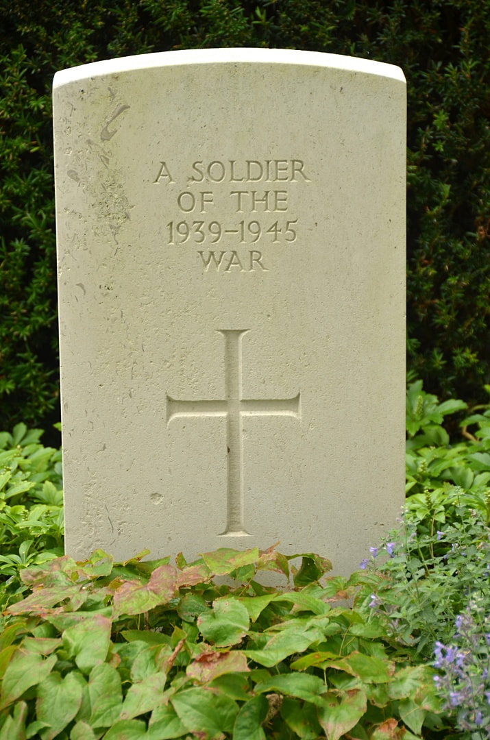
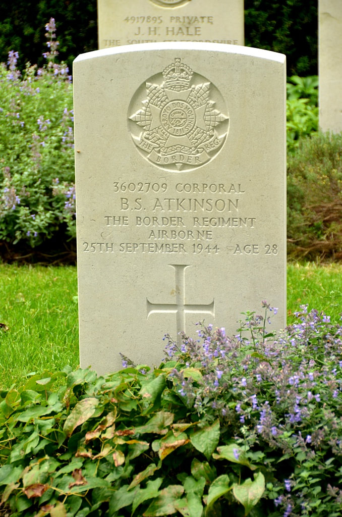
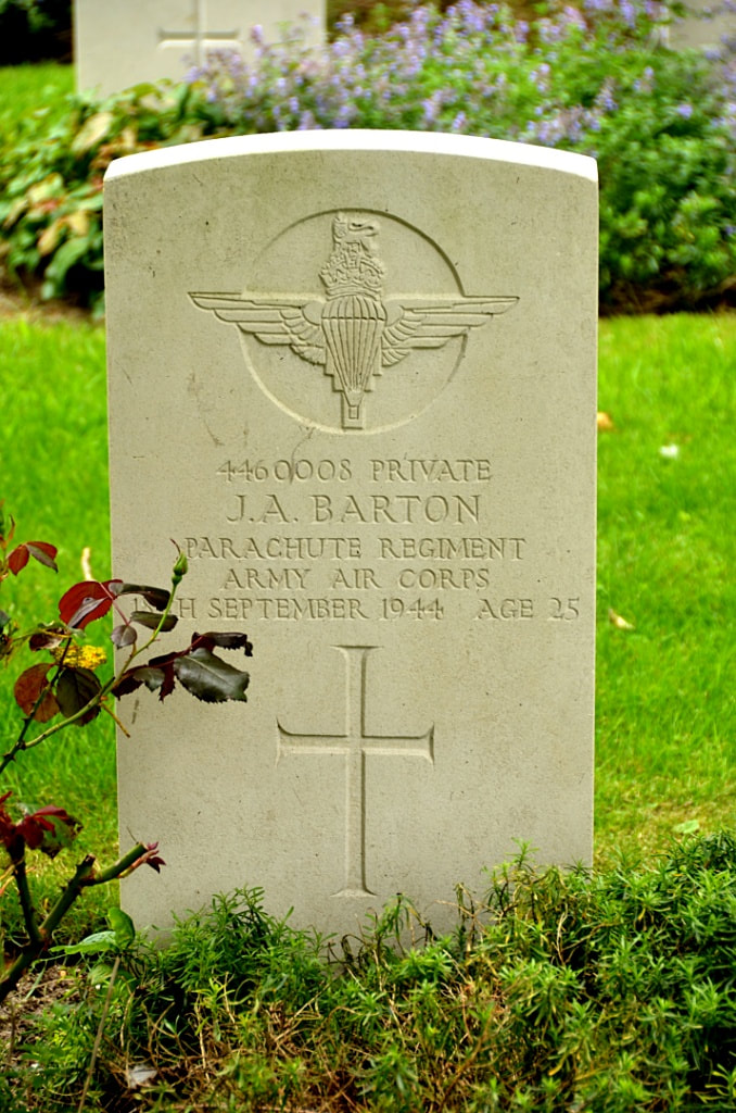
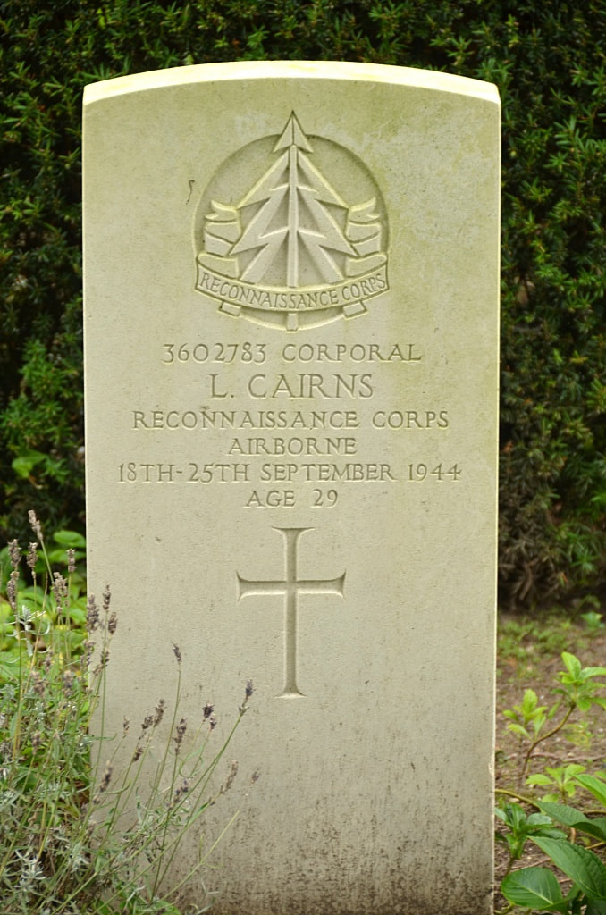
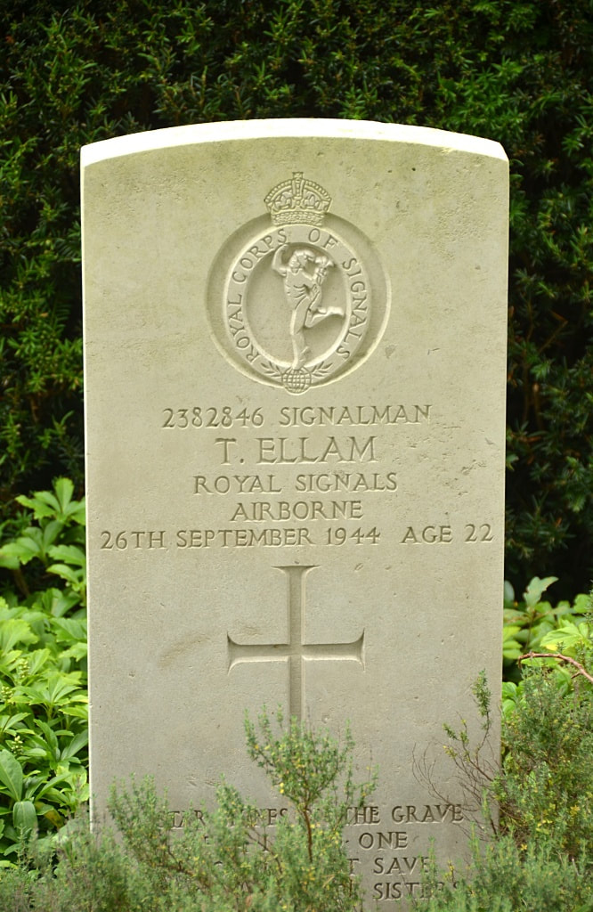
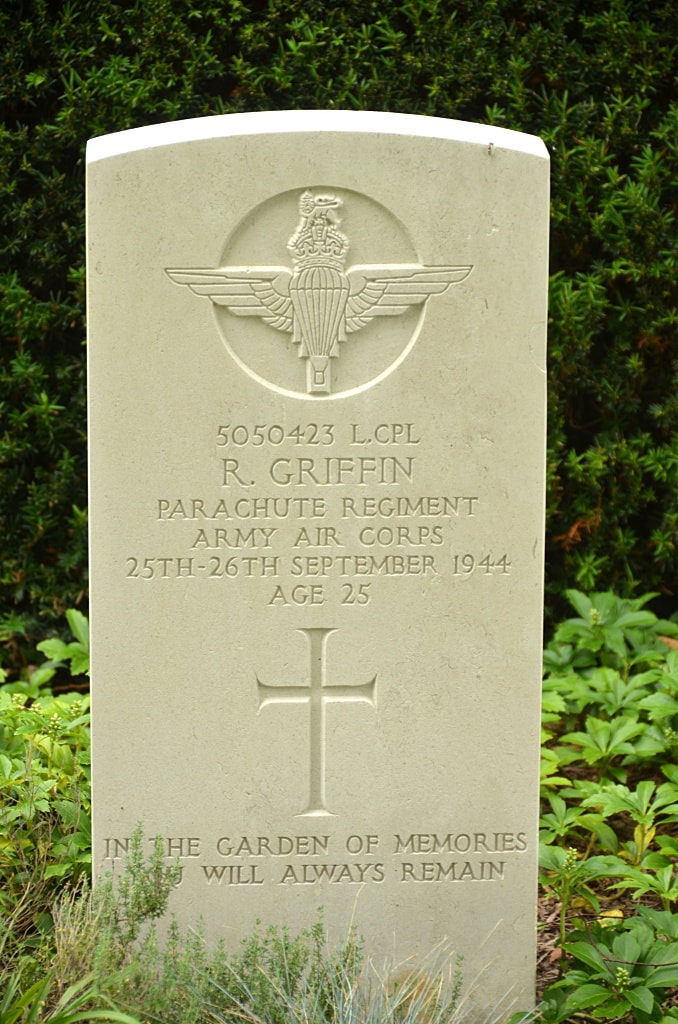
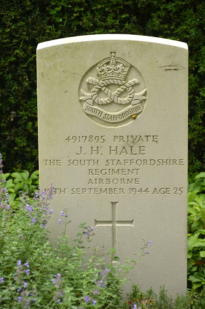
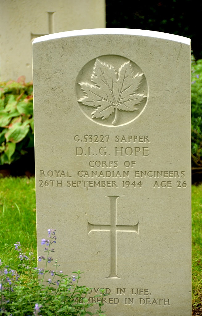
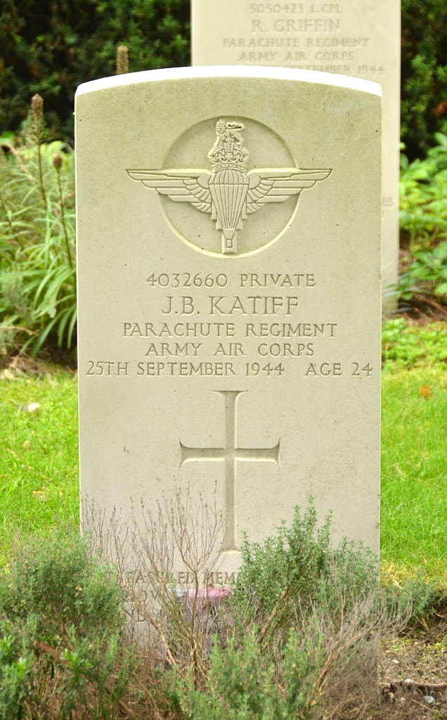
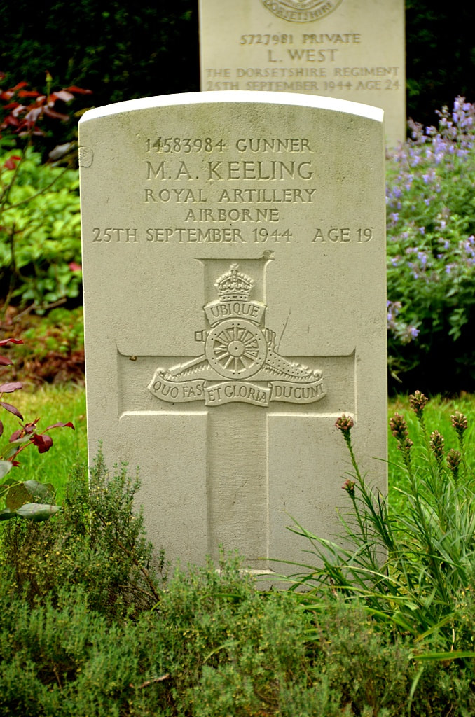
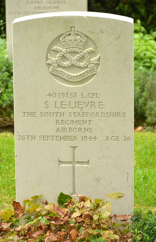
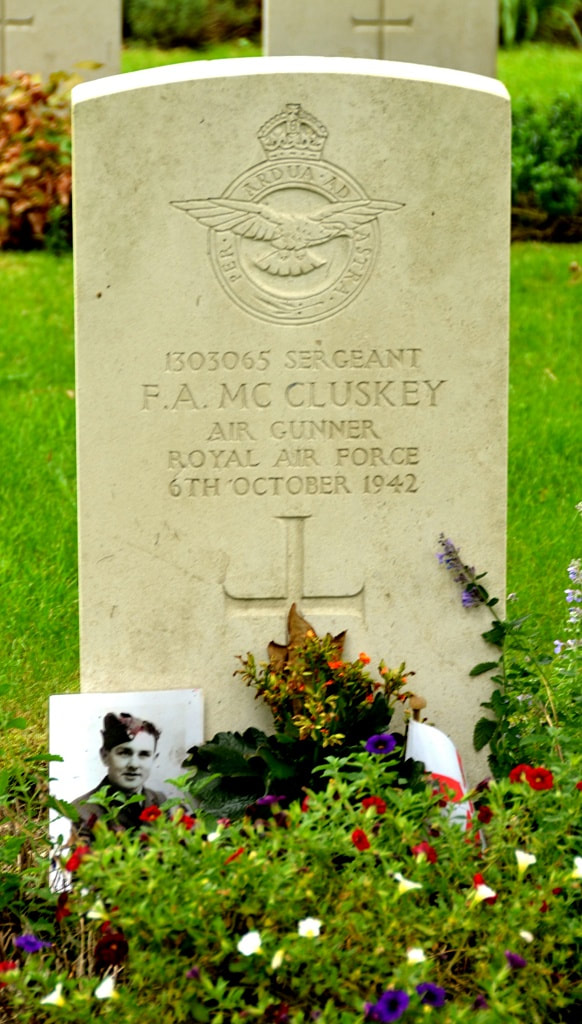
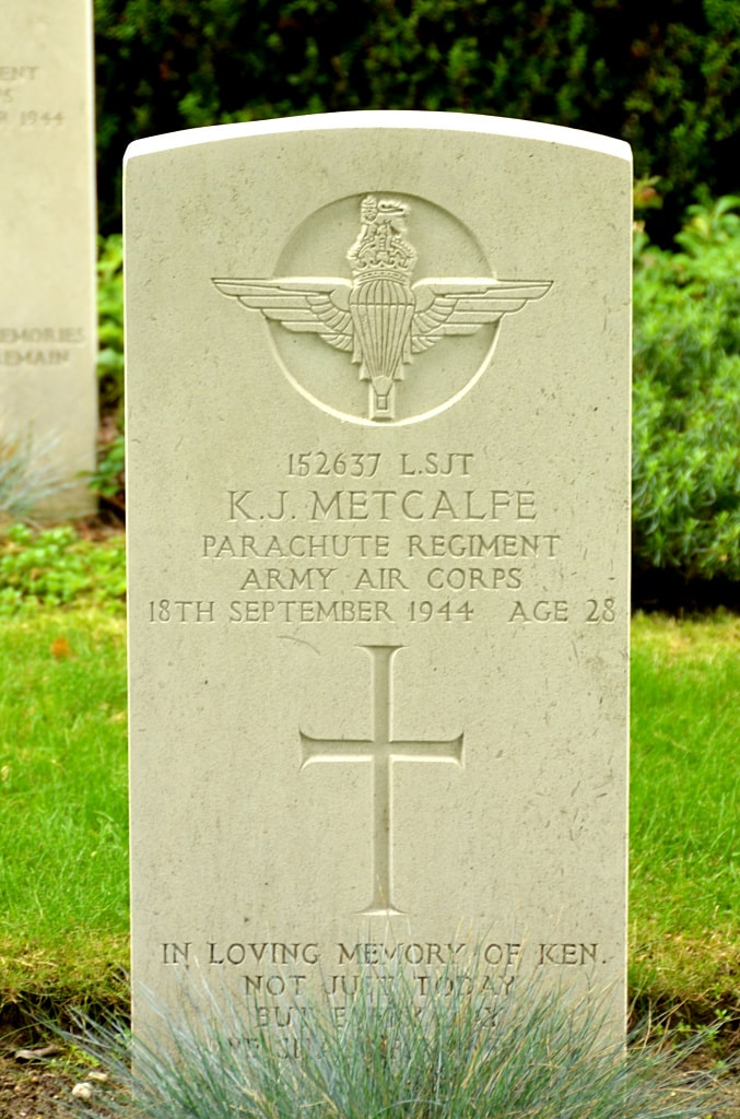
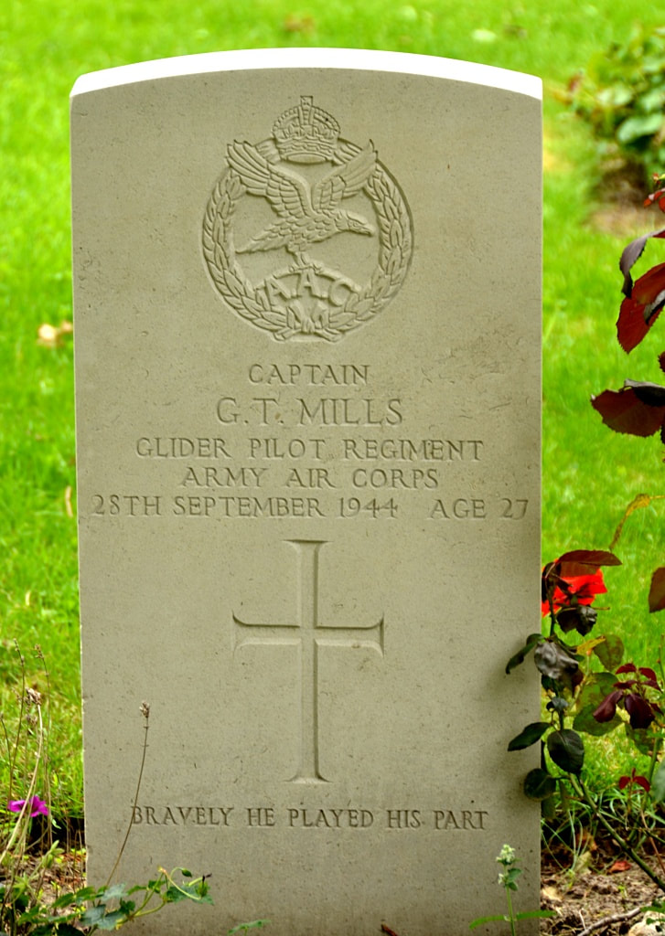
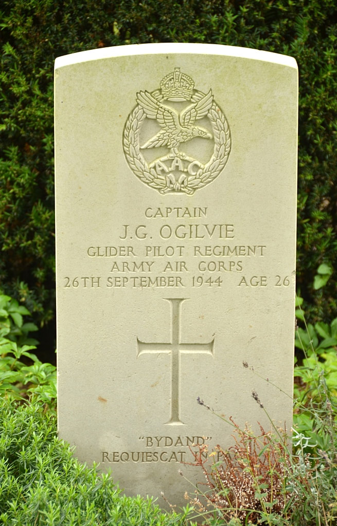
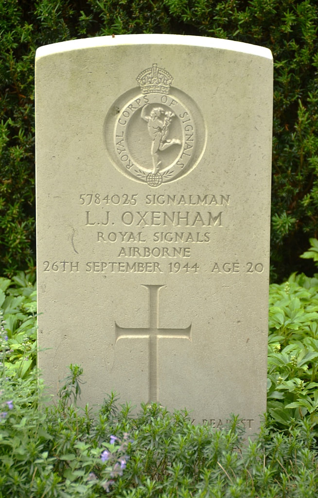
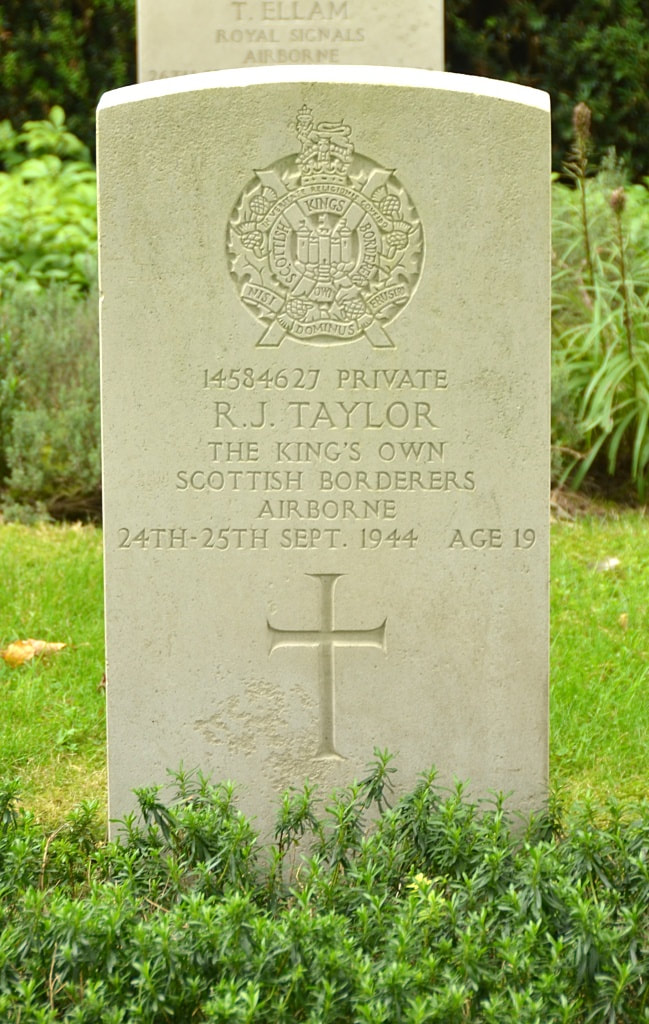
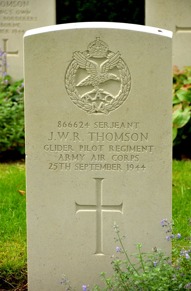
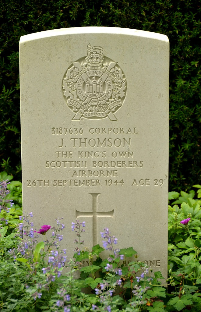
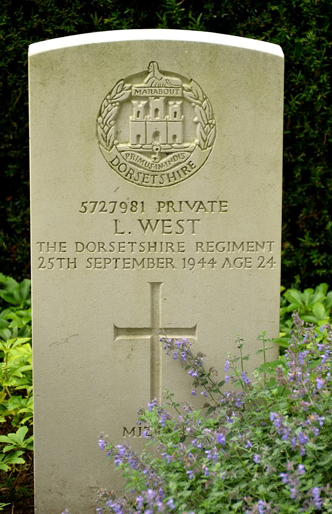
There are now 23, 1939-1945 war casualties commemorated in this site, 3 of which are unidentified. There is also 1 unidentified Polish soldier buried here.
The village of Rhenen is situated in the province of Utrecht, 26 kilometres west-south-west of Arnhem and 47 kilometres east-south-east of Utrecht. The General Cemetery is located on the north-east side of the village in the Achterbergschestraatweg.
The war graves are on the left-hand side, off the main entrance path in the cemetery.
Historical Information
There are now 23, 1939-1945 war casualties commemorated in this site, 3 of which are unidentified. There is also 1 unidentified Polish soldier buried here.
Images in gallery below © Johan Pauwels
Click on individual headstone for more details if applicable
Images in gallery below © Johan Pauwels
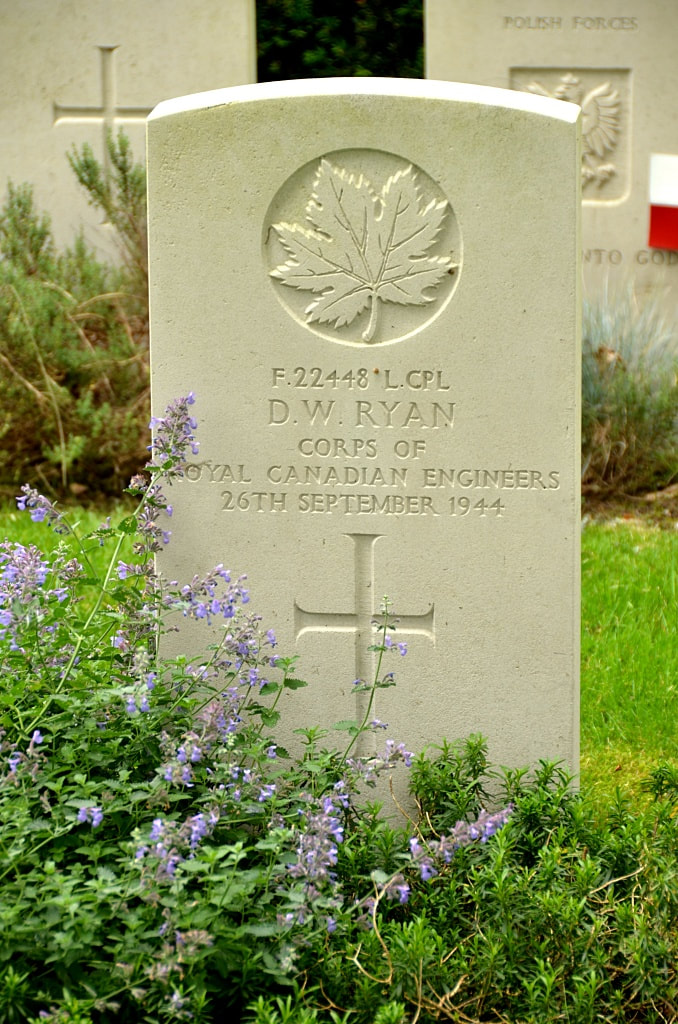
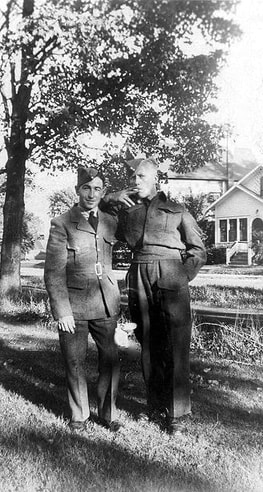
F/22448 Lance Corporal
Daniel W. Ryan (Standing on the left)
23 Field Company, Royal Canadian Engineers
26th September 1944.
Daniel W. Ryan (Standing on the left)
23 Field Company, Royal Canadian Engineers
26th September 1944.


