
GUISCRIFF COMMUNAL CEMETERY
Morbihan
France
GPS Coordinates: Latitude: 48.04713, Longitude: -3.64972
Location Information
Guiscriff is a village and commune some 17 kilometres north-east of Rosporden, a town on the Paris-Le Mans-Quimper railway line. The communal cemetery is about 300 metres west of the village church on the southern side of the road to Scaer.
History Information
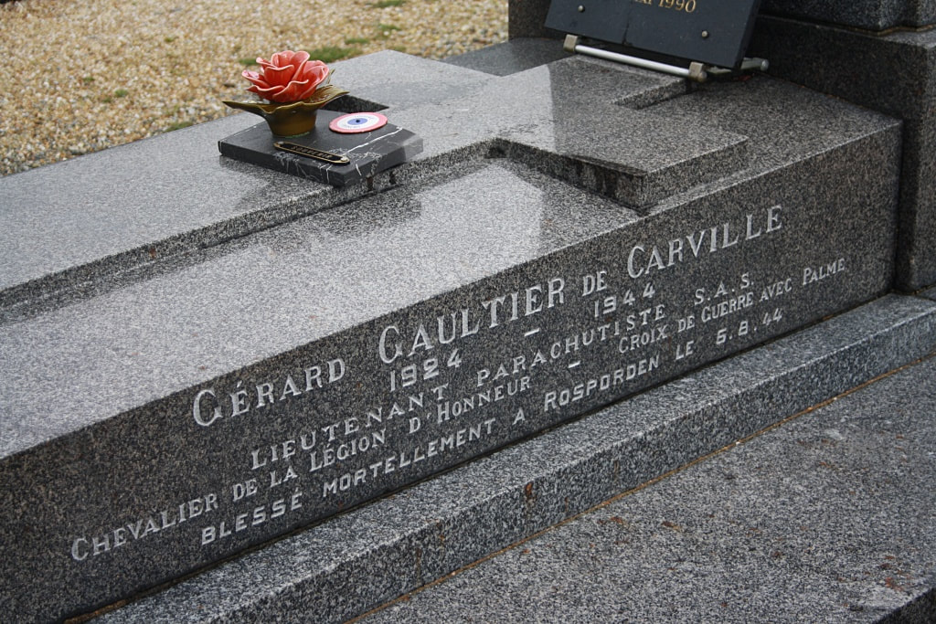
The one British casualty is buried with two Frenchmen in a grave marked by a marble memorial erected by the local people. This grave is 10 metres north-east of the entrance.
Guiscriff is a village and commune some 17 kilometres north-east of Rosporden, a town on the Paris-Le Mans-Quimper railway line. The communal cemetery is about 300 metres west of the village church on the southern side of the road to Scaer.
History Information
The one British casualty is buried with two Frenchmen in a grave marked by a marble memorial erected by the local people. This grave is 10 metres north-east of the entrance.
Images in gallery below © Jane Full

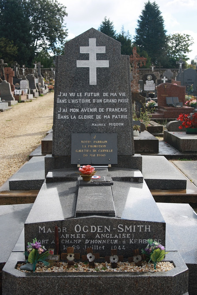


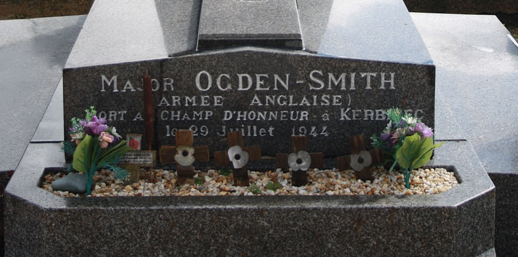
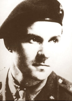
91977 Major
Colin Malcolm Ogden-Smith, Efficeincy Decoration, Mentioned in Despatches
Royal Artillery attached to Jedburgh Team (Francis), Special Operations Executive
Killed in a firefight with German troops on 29 July 1944, aged 33.
More information on Major Ogden-Smith can be found in the book called "Codenamed Dorset"


