GONESSE COMMUNAL CEMETERY
Val d'Oise
France
GPS Coordinates: Latitude: 48.98988, Longitude: 2.45215
Location Information
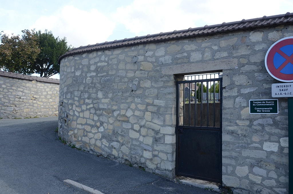
Gonesse is a village 32 kilometres north-east of Versailles and just over 2 kilometres west of La Patte D'Oie, a hamlet at the junction of the Senlis-Paris and Soissons-Paris roads. The Communal Cemetery lies on the north side of the village on the road leading to the neighbouring village of Le Thillay.
History Information
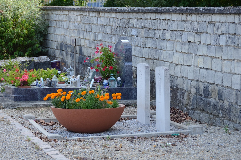
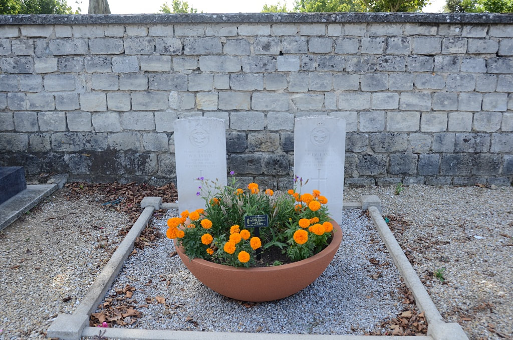
The graves of 2 British airmen are near the south-east corner.
Images in gallery below © Johan Pauwels
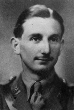
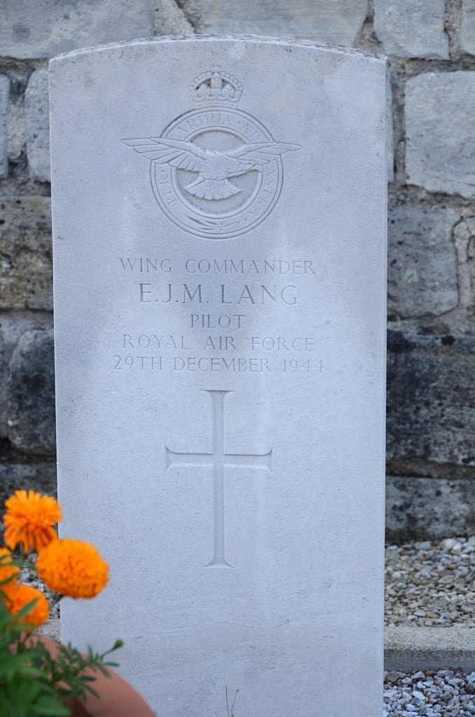
25079 Wing Commander
Edward James Morgan Lang
Pilot in Royal Air Force
29th December 1944.
Edward James Morgan Lang
Pilot in Royal Air Force
29th December 1944.
Other Burial Details
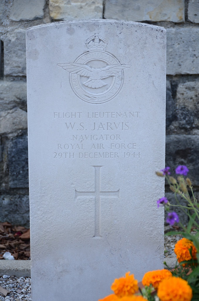
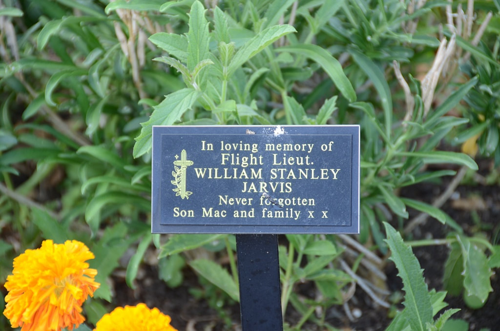
118119 Flight Lieutenant William Stanley Jarvis, Navigator in Royal Air Force Volunteer Reserve, died 29th December 1944.
118119 Flight Lieutenant William Stanley Jarvis, Navigator in Royal Air Force Volunteer Reserve, died 29th December 1944.

