WEST-CAPPEL CHURCHYARD
Nord
France
Location Information
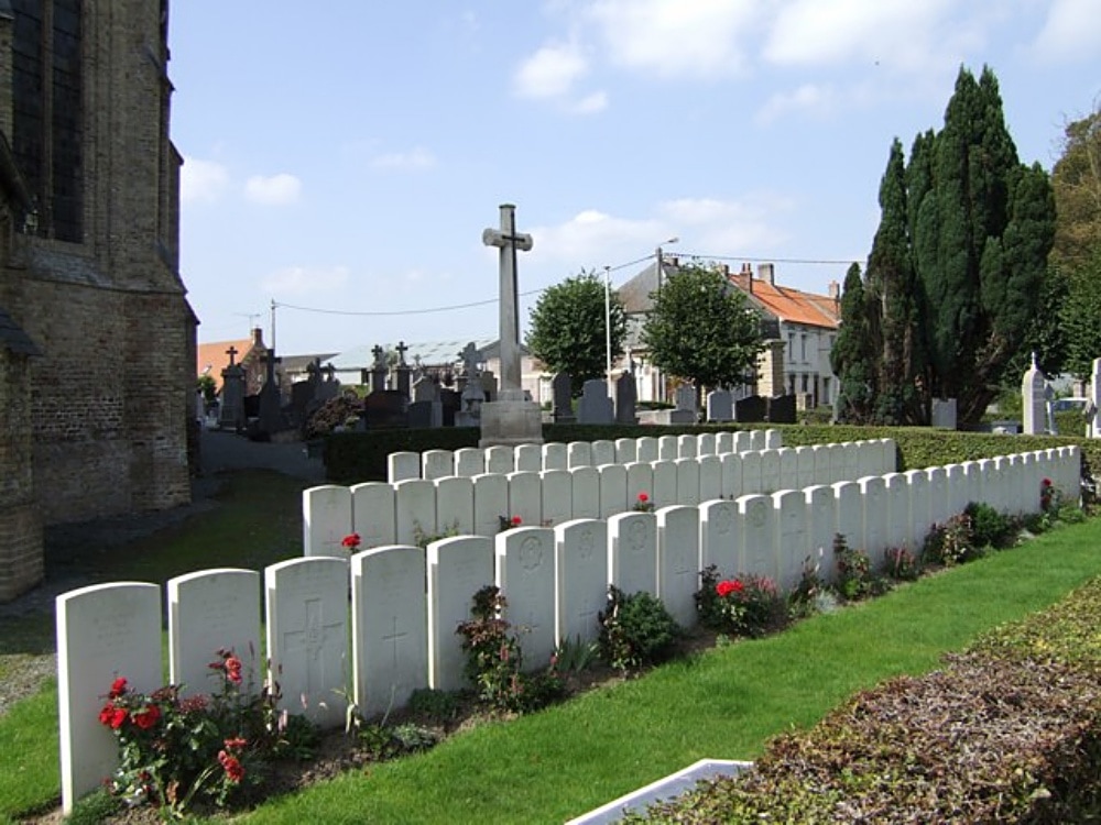
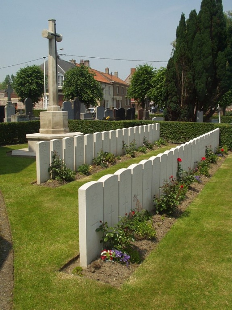
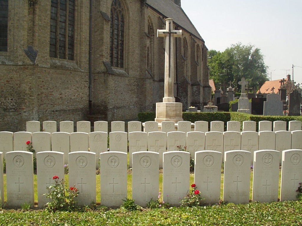
West-Cappel is a village 16 kilometres south-east of Dunkirk and some 6 kilometres north-east of Wormhoudt. In the churchyard, near the north-eastern corner of the church, is the Commonwealth plot containing the graves of soldiers from the United Kingdom.
Historical Information
There are now nearly 70, 1939-45 war casualties commemorated in this site. Of these, over 30 are unidentified and 12 whose graves could not be precisely located are commemorated by special memorials inscribed "Buried near this spot".
Identified Casualties 38.