FOURAS COMMUNAL CEMETERY
Charente-Maritime
France
GPS Coordinates: Latitude: 45.98995, Longitude: -1.0876
Location Information
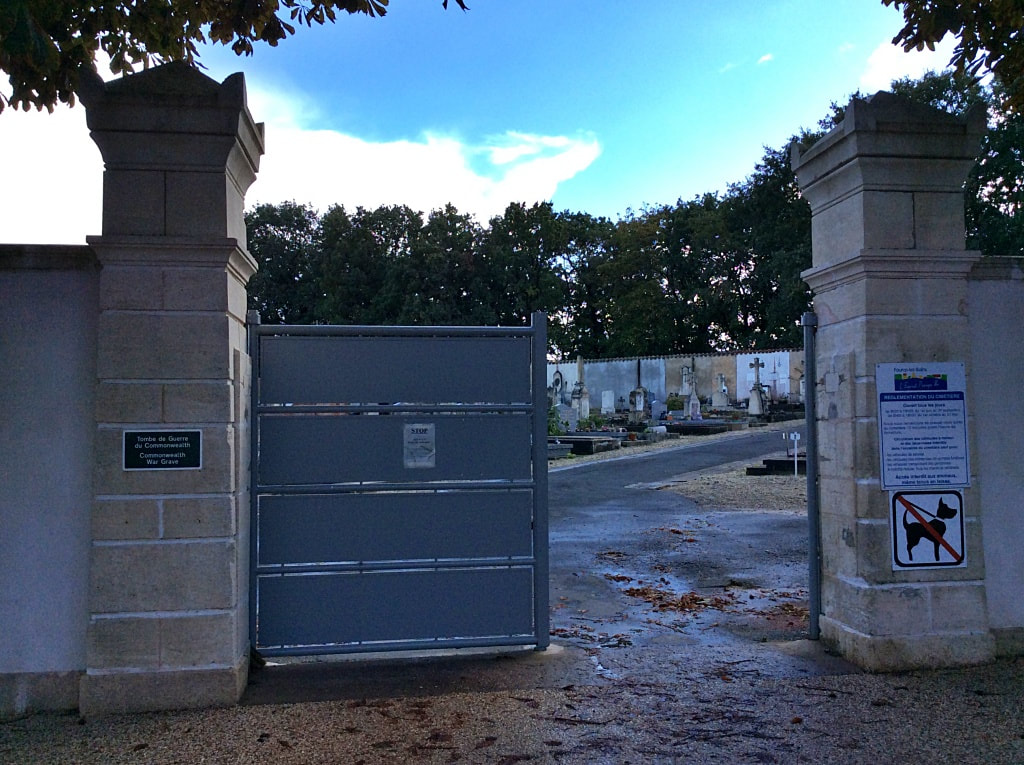
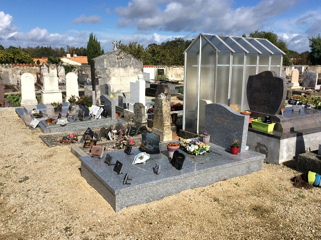
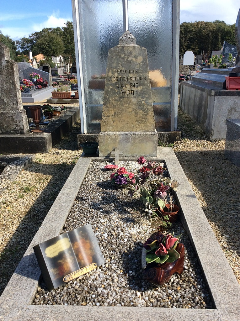
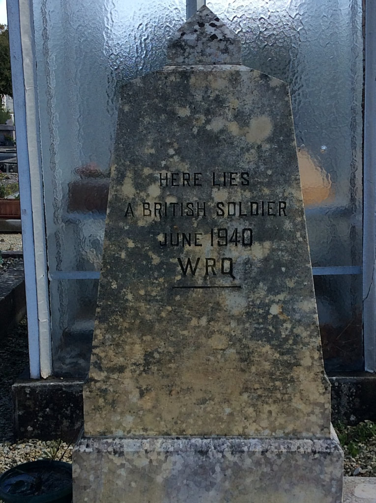
Fouras is a small port and seaside resort on the Biscay coast 15 miles (25 kilometres) from La Rochelle and 9 miles (14 kilometres) from Rochefort. The communal cemetery is to the east of the town, on the right-hand side of a by-road (Rue de Fee de Bois) which runs parallel to the main road to Rochefort. In the far left quarter of the cemetery is the grave of one unknown British soldier of the 1939-1945 war.
Fouras is a small port and seaside resort on the Biscay coast 15 miles (25 kilometres) from La Rochelle and 9 miles (14 kilometres) from Rochefort. The communal cemetery is to the east of the town, on the right-hand side of a by-road (Rue de Fee de Bois) which runs parallel to the main road to Rochefort. In the far left quarter of the cemetery is the grave of one unknown British soldier of the 1939-1945 war.


