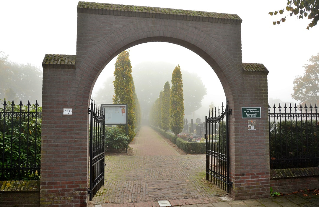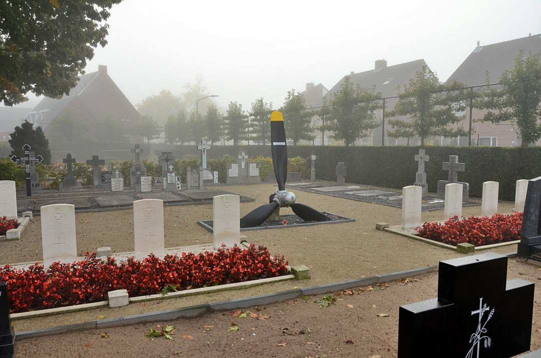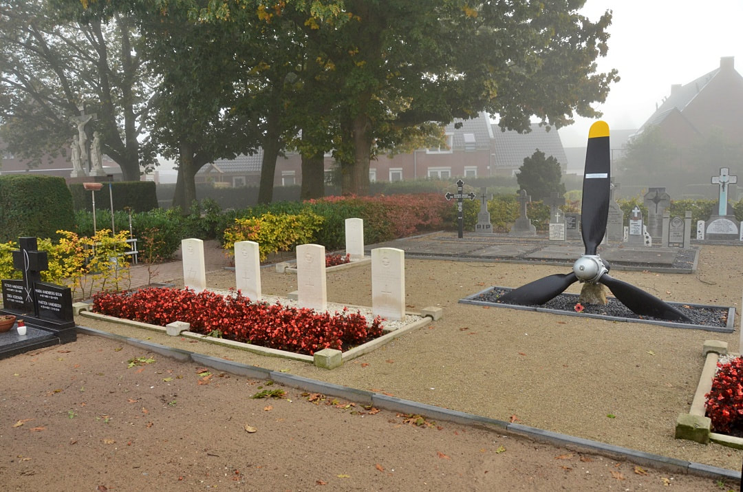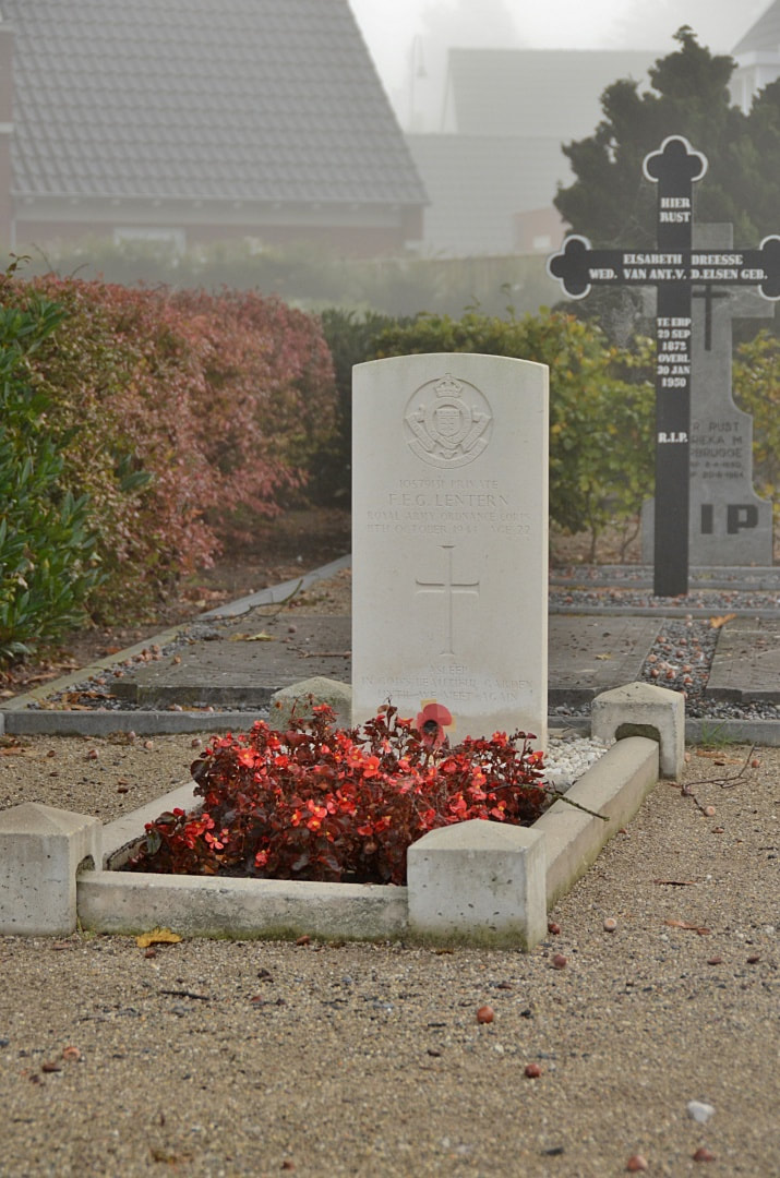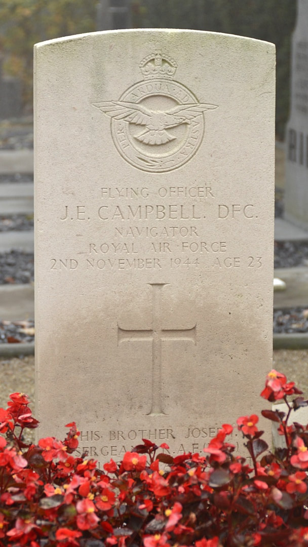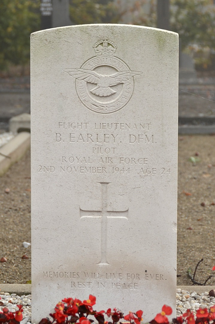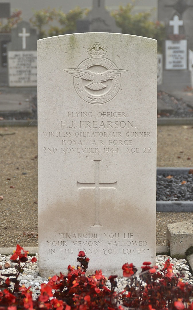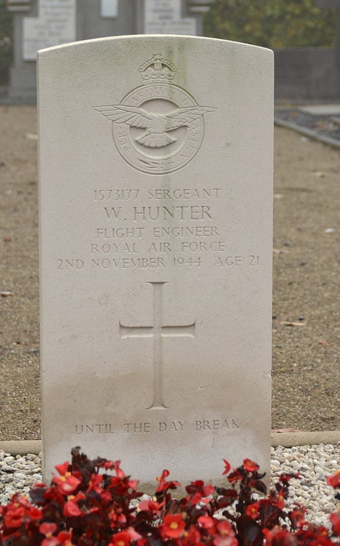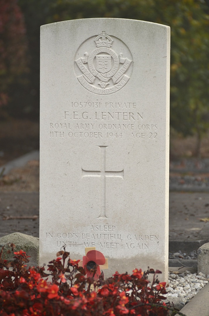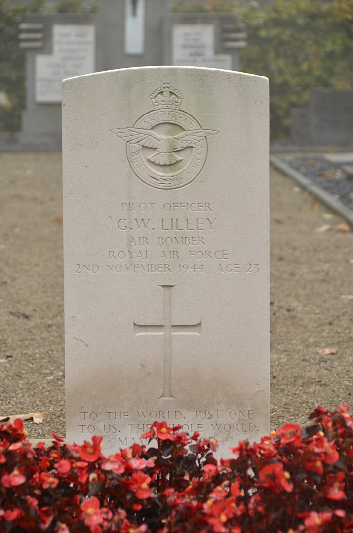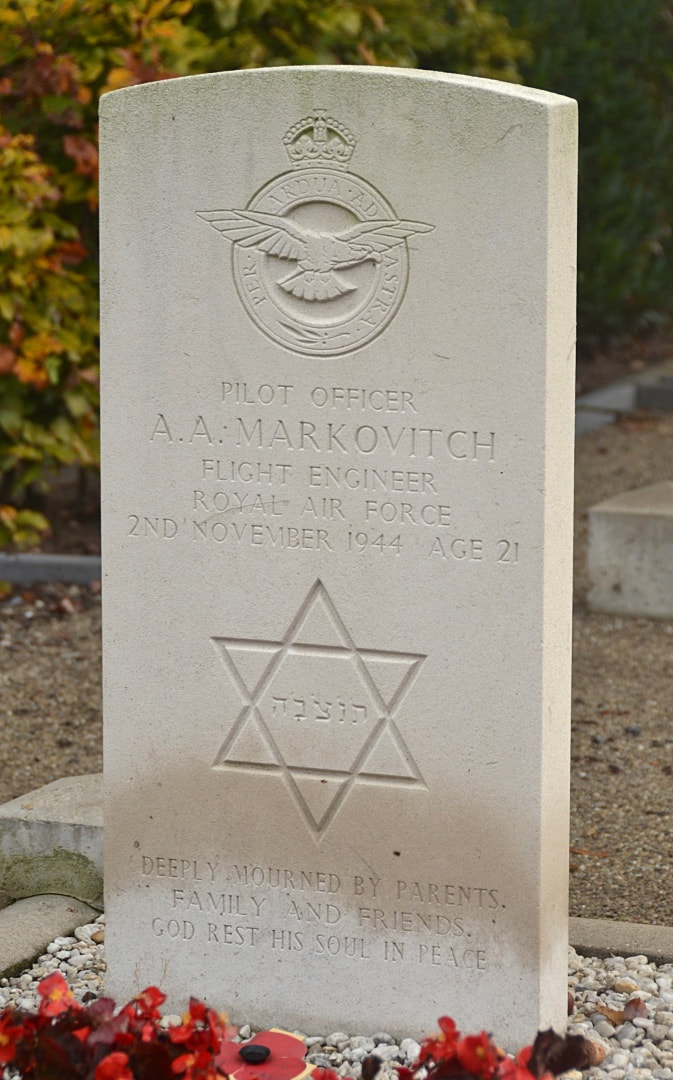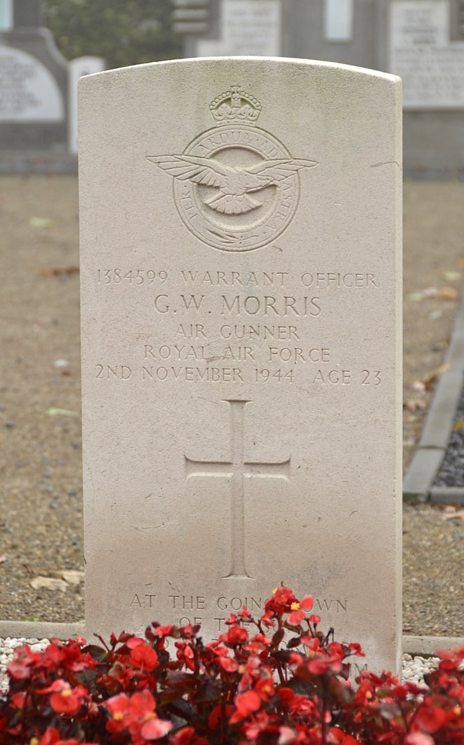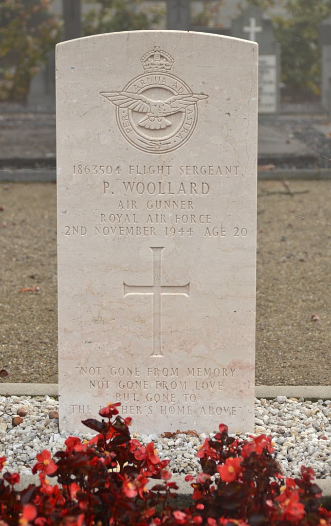
ERP ROMAN CATHOLIC CEMETERY
Noord-Brabant
Netherlands
GPS Coordinates: Latitude: 51.59892, Longitude: 5.60566
Location Information
Erp is a village 8 kilometres north-west of Gemert and 4.8 kilometres south-west of Veghel. The cemetery is south of the Veghel-Gemert road, about 270 metres from the church. The nine U. K. graves are in its south-east portion.
Erp is a village 8 kilometres north-west of Gemert and 4.8 kilometres south-west of Veghel. The cemetery is south of the Veghel-Gemert road, about 270 metres from the church. The nine U. K. graves are in its south-east portion.
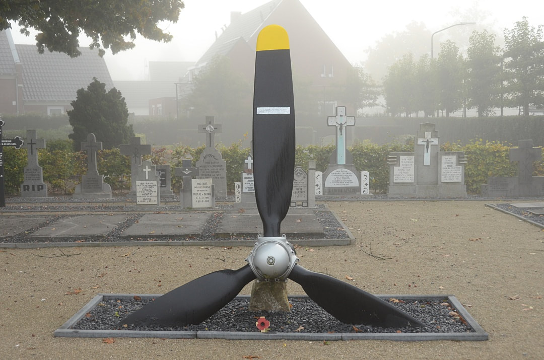
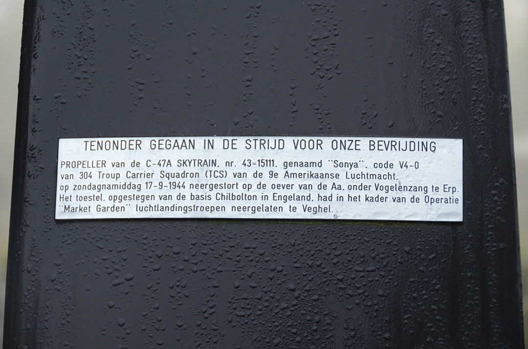
Images in gallery below © Johan Pauwels